MyTopo
Randado Texas US Topo Map
Couldn't load pickup availability
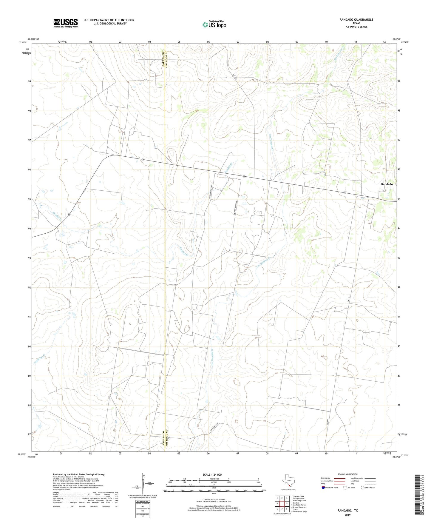
2019 topographic map quadrangle Randado in the state of Texas. Scale: 1:24000. Based on the newly updated USGS 7.5' US Topo map series, this map is in the following counties: Jim Hogg, Zapata. The map contains contour data, water features, and other items you are used to seeing on USGS maps, but also has updated roads and other features. This is the next generation of topographic maps. Printed on high-quality waterproof paper with UV fade-resistant inks.
Quads adjacent to this one:
West: Escobas
Northwest: Chargos Creek
North: Thompsonville
Northeast: Armstrong Ranch
East: San Pablo Ranch
Southeast: San Antonio Viejo
South: Guerra
Southwest: Arroyo Huisache
Contains the following named places: Escobas Ranch, Randado, Randado Oil Field, South Manila Oil Field, Zachry Ranch Airport