MyTopo
Seymour East Texas US Topo Map
Couldn't load pickup availability
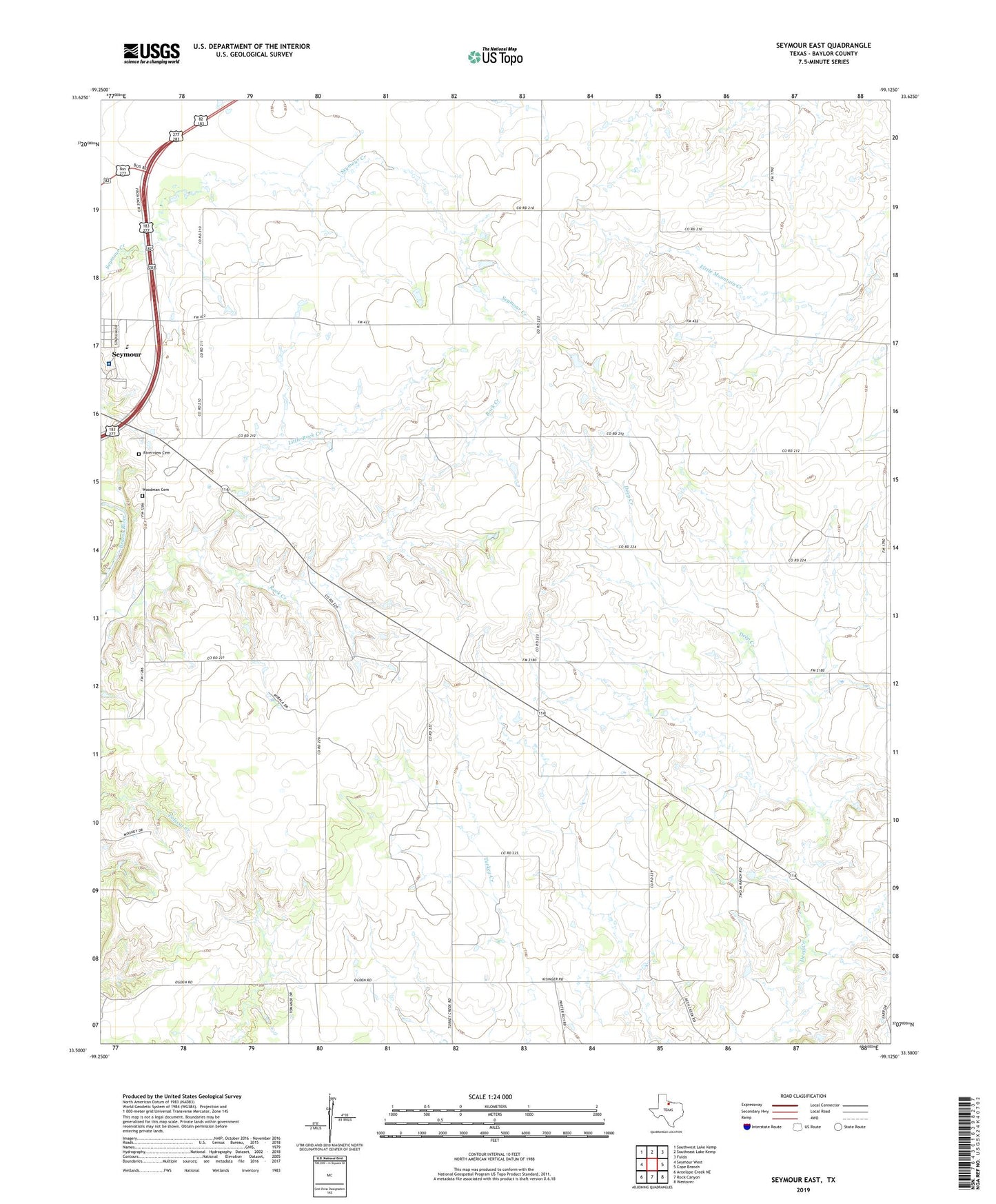
2019 topographic map quadrangle Seymour East in the state of Texas. Scale: 1:24000. Based on the newly updated USGS 7.5' US Topo map series, this map is in the following counties: Baylor. The map contains contour data, water features, and other items you are used to seeing on USGS maps, but also has updated roads and other features. This is the next generation of topographic maps. Printed on high-quality waterproof paper with UV fade-resistant inks.
Quads adjacent to this one:
West: Seymour West
Northwest: Southwest Lake Kemp
North: Southeast Lake Kemp
Northeast: Fulda
East: Cope Branch
Southeast: Westover
South: Rock Canyon
Southwest: Antelope Creek NE
Contains the following named places: Baylor County, C Lazy T Ranch Airport, Little Rock Creek, Lively, Ogden, Riverview Cemetery, Seymour - Baylor County Emergency Medical Services, Seymour City Park, Seymour Division, Seymour High School, Seymour Hospital, Woodman Cemetery, ZIP Code: 76380