MyTopo
Soda Texas US Topo Map
Couldn't load pickup availability
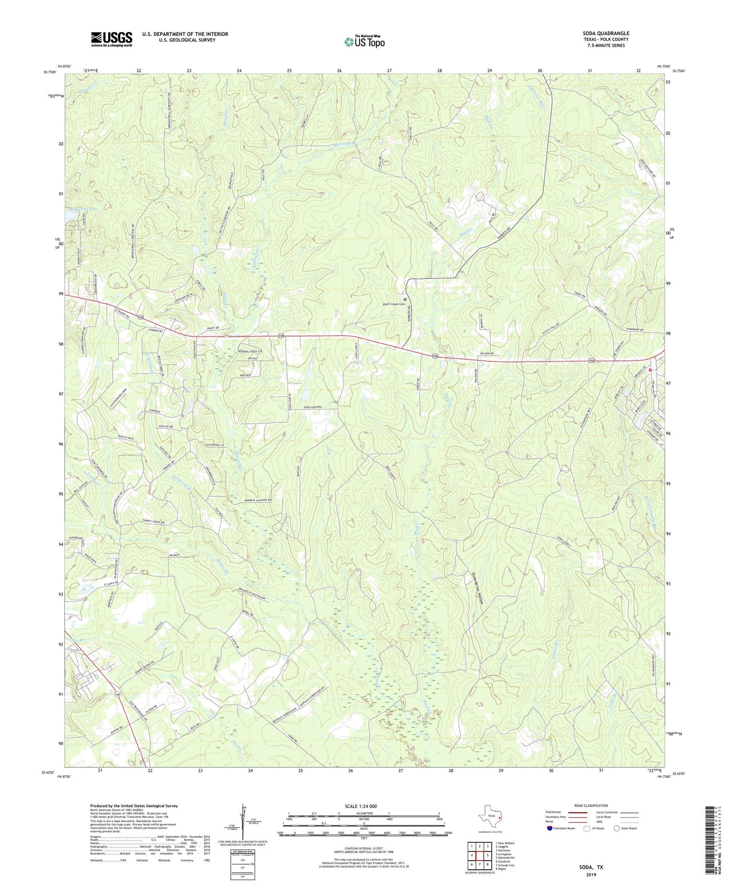
2019 topographic map quadrangle Soda in the state of Texas. Scale: 1:24000. Based on the newly updated USGS 7.5' US Topo map series, this map is in the following counties: Polk. The map contains contour data, water features, and other items you are used to seeing on USGS maps, but also has updated roads and other features. This is the next generation of topographic maps. Printed on high-quality waterproof paper with UV fade-resistant inks.
Quads adjacent to this one:
West: Livingston
Northwest: New Willard
North: Leggett
Northeast: Hortense
East: Dallardsville
Southeast: Segno
South: Schwab City
Southwest: Goodrich
Contains the following named places: Alabama-Coushatta Indian Reservation Museum, Beech Creek, Beech Creek Church, Bluff Creek, Bluff Creek Cemetery, Dogwood Lake, East Menard Creek, Greenbriar Hollow, Indian Springs, Indian Springs Volunteer Fire Department, Lake Donna Dam, Lake Winnipesaukee, Lake Winnipesaukee Dam, Livingston-Onalaska Division, Mathis Branch, Soda Church, Turkey Creek, West Spring Branch, ZIP Code: 77351