MyTopo
Taylor Canyon Texas US Topo Map
Couldn't load pickup availability
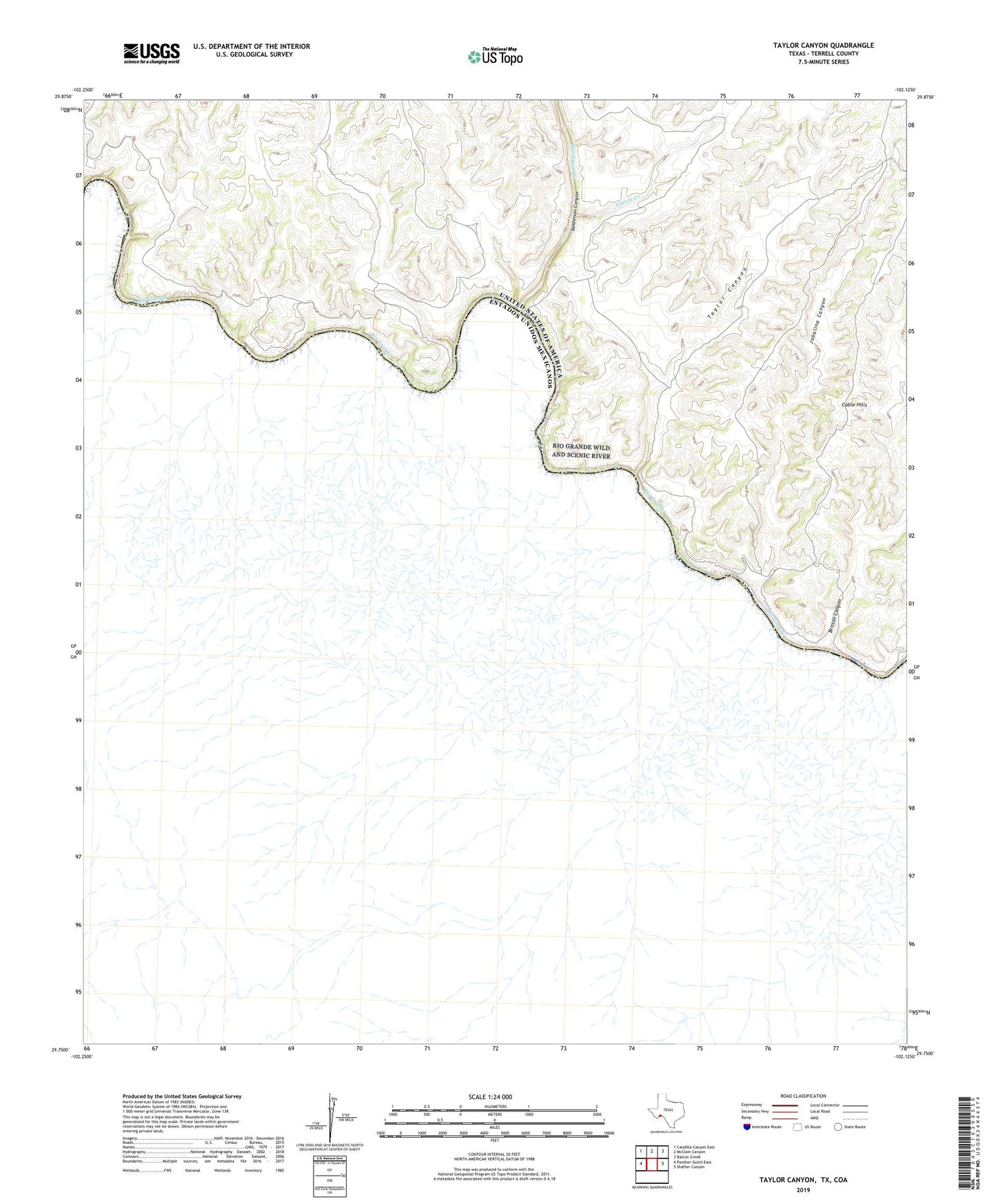
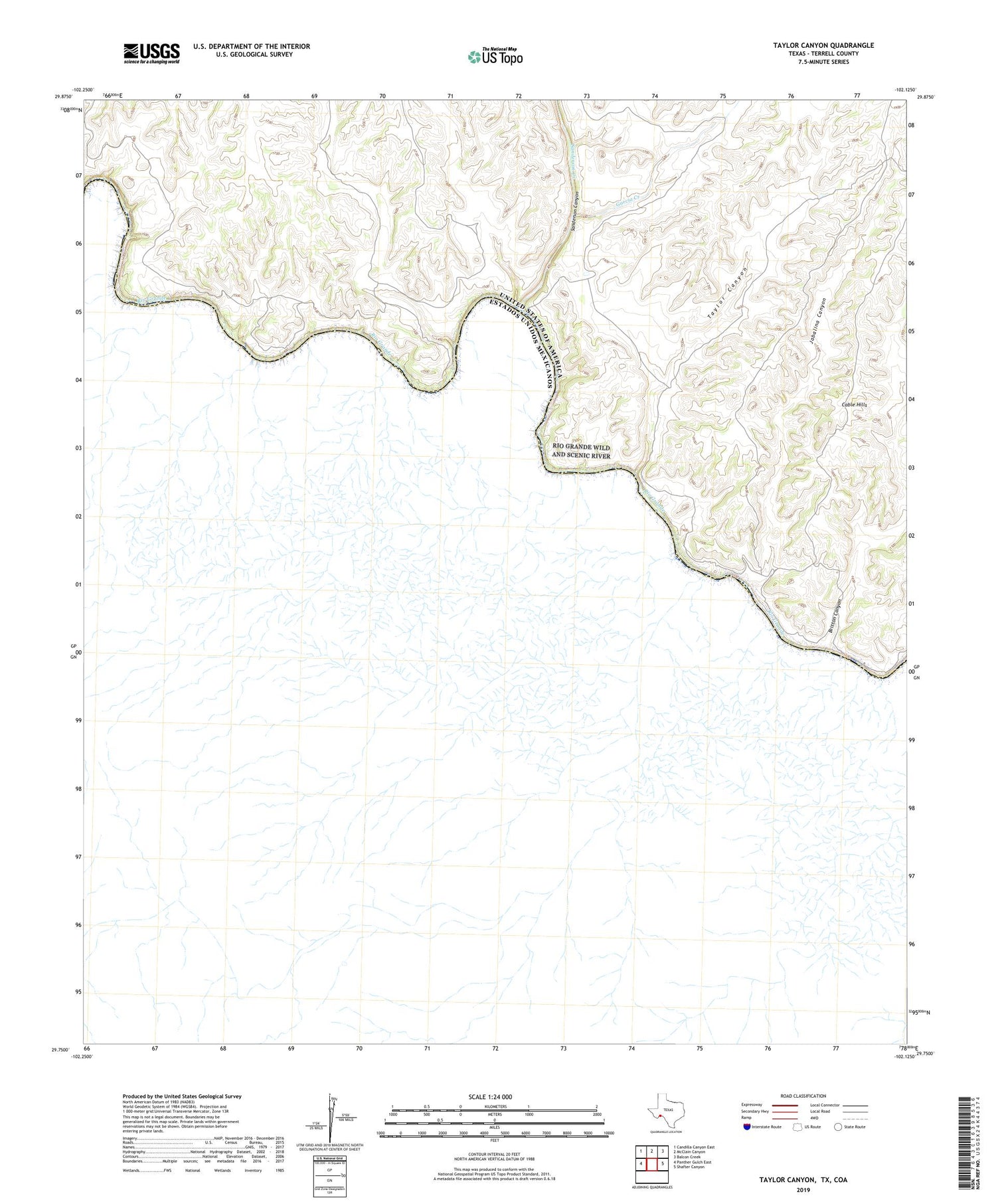
2019 topographic map quadrangle Taylor Canyon in the state of Texas. Scale: 1:24000. Based on the newly updated USGS 7.5' US Topo map series, this map is in the following counties: Terrell. The map contains contour data, water features, and other items you are used to seeing on USGS maps, but also has updated roads and other features. This is the next generation of topographic maps. Printed on high-quality waterproof paper with UV fade-resistant inks.
Quads adjacent to this one:
West: Panther Gulch East
Northwest: Candilla Canyon East
North: McClain Canyon
Northeast: Balcon Creek
East: Shafter Canyon
Contains the following named places: Agua Verde Crossing, Britton Canyon, Cable Hills, Dryden Crossing, Garcia Creek, Jabalina Canyon, Middle Watering, Paso Verde Crossing, Sanderson Canyon, Sanderson Canyon Crossing, Sanderson Creek, Taylor Canyon