MyTopo
Wilson Texas US Topo Map
Couldn't load pickup availability
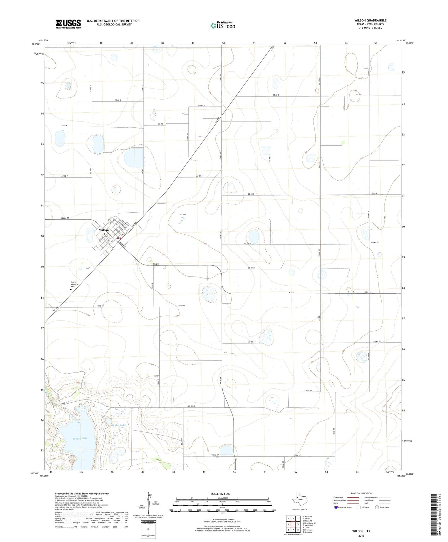
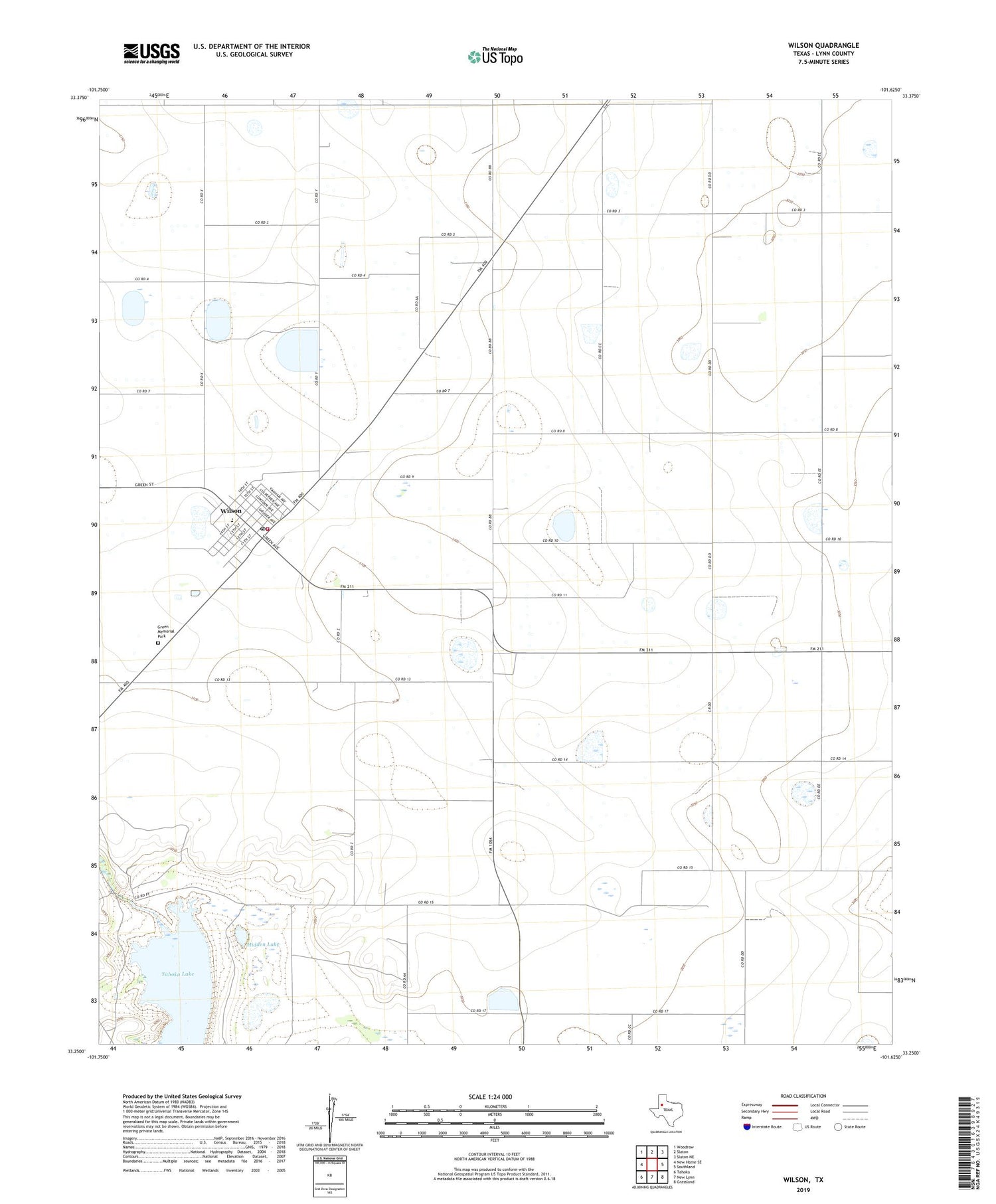
2019 topographic map quadrangle Wilson in the state of Texas. Scale: 1:24000. Based on the newly updated USGS 7.5' US Topo map series, this map is in the following counties: Lynn. The map contains contour data, water features, and other items you are used to seeing on USGS maps, but also has updated roads and other features. This is the next generation of topographic maps. Printed on high-quality waterproof paper with UV fade-resistant inks.
Quads adjacent to this one:
West: New Home SE
Northwest: Woodrow
North: Slaton
Northeast: Slaton NE
East: Southland
Southeast: Grassland
South: New Lynn
Southwest: Tahoka
Contains the following named places: City of Wilson, Green Memorial Park, Hidden Lake, Kitten Farm Private Airport, Saint Paul School, Wilson, Wilson City Hall, Wilson Division, Wilson Post Office, Wilson Volunteer Fire Department