MyTopo
Big Horseshoe Utah US Topo Map
Couldn't load pickup availability
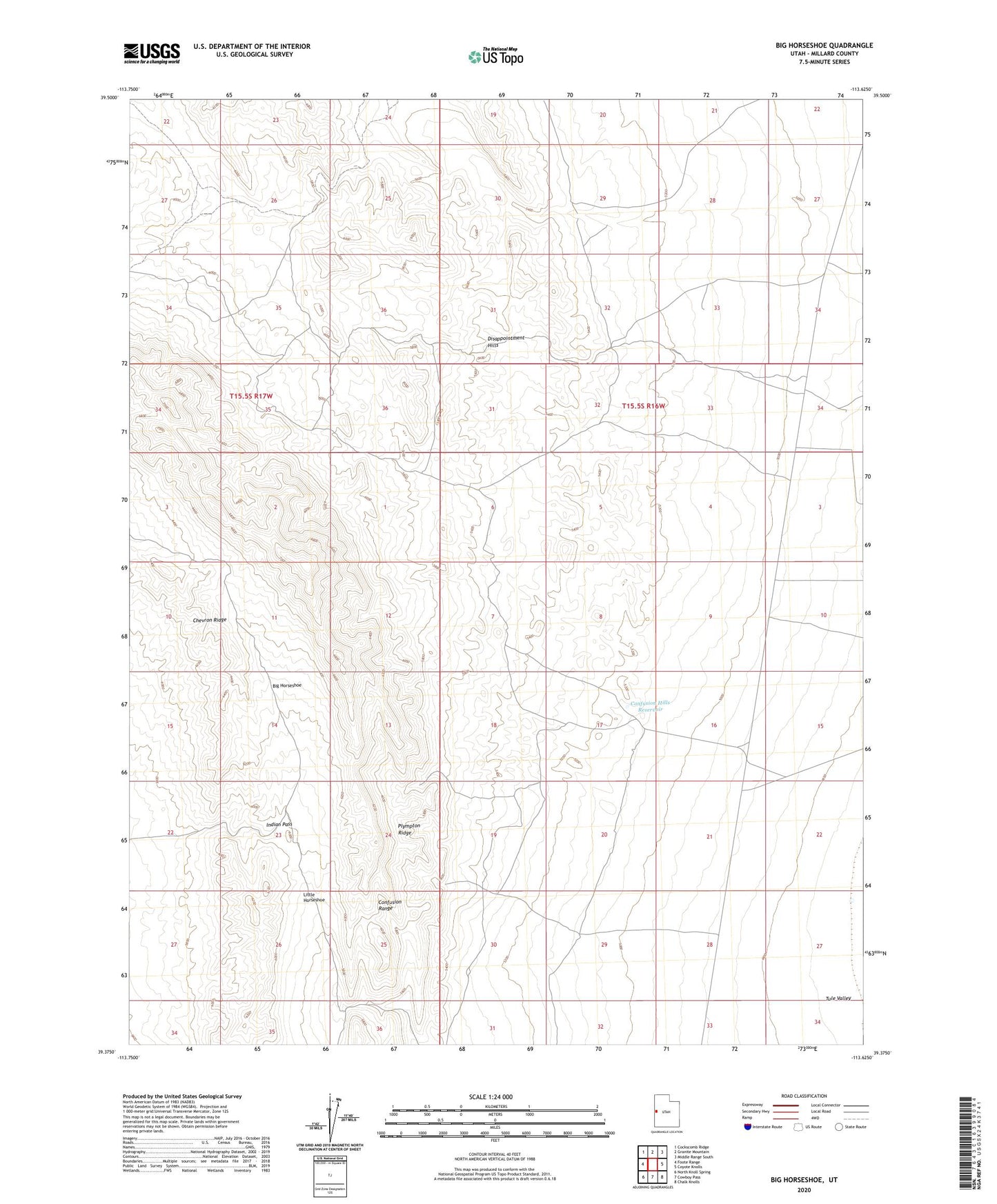
2020 topographic map quadrangle Big Horseshoe in the state of Utah. Scale: 1:24000. Based on the newly updated USGS 7.5' US Topo map series, this map is in the following counties: Millard. The map contains contour data, water features, and other items you are used to seeing on USGS maps, but also has updated roads and other features. This is the next generation of topographic maps. Printed on high-quality waterproof paper with UV fade-resistant inks.
Quads adjacent to this one:
West: Foote Range
Northwest: Cockscomb Ridge
North: Granite Mountain
Northeast: Middle Range South
East: Coyote Knolls
Southeast: Chalk Knolls
South: Cowboy Pass
Southwest: North Knoll Spring
Contains the following named places: Big Horseshoe, Chevron Ridge, Confusion Hills Reservoir, Disappointment Hills, Indian Pass, Little Horseshoe, Plympton Ridge