MyTopo
Flake Mountain West Utah US Topo Map
Couldn't load pickup availability
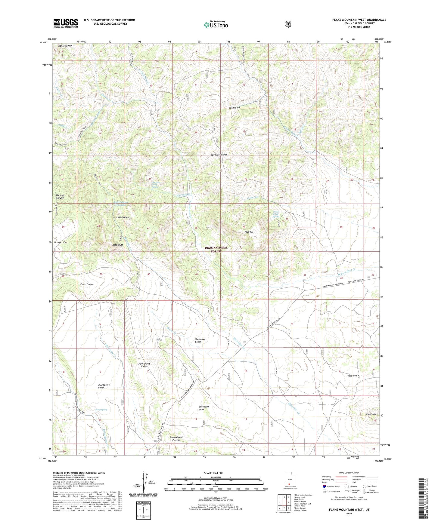
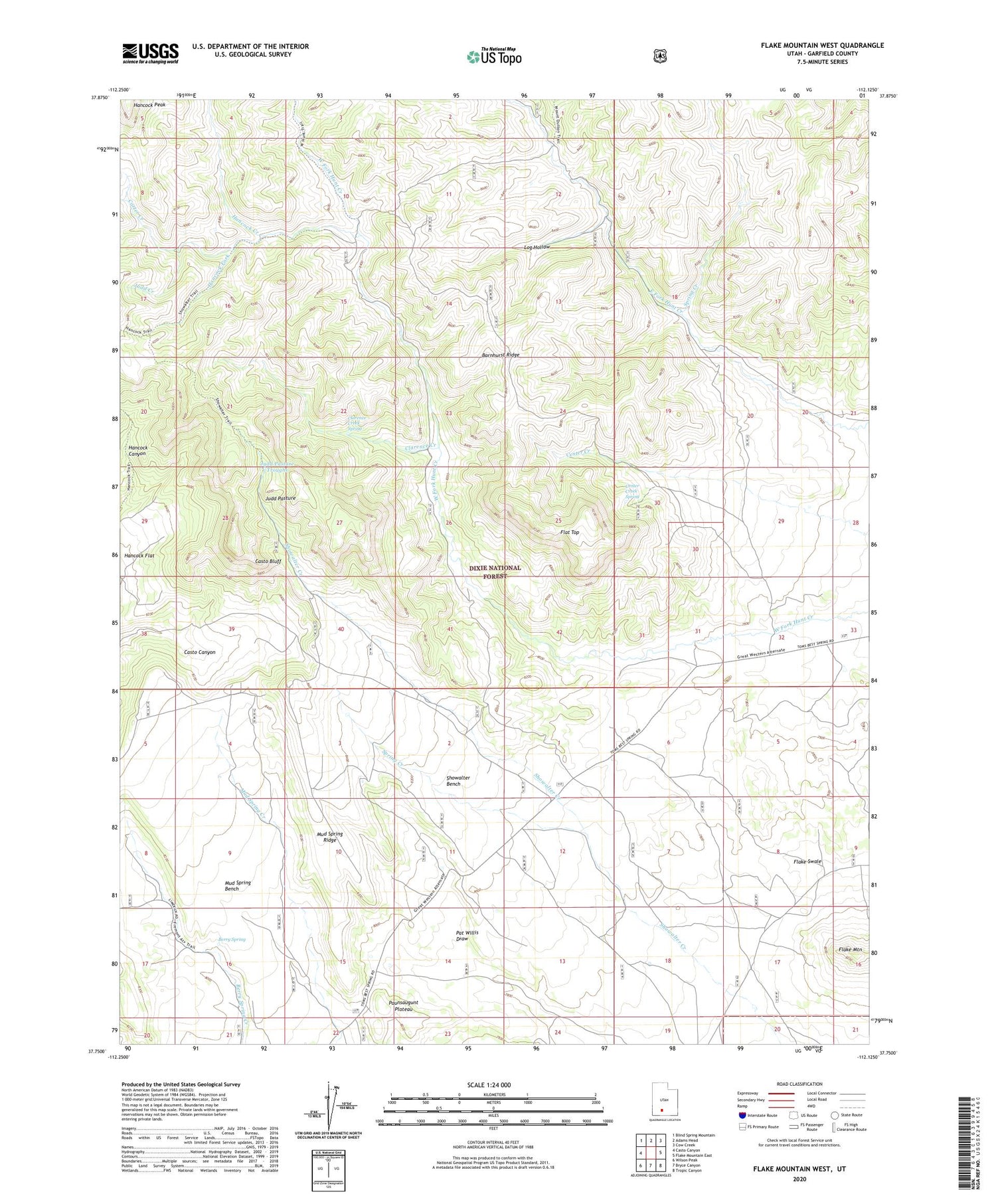
2020 topographic map quadrangle Flake Mountain West in the state of Utah. Scale: 1:24000. Based on the newly updated USGS 7.5' US Topo map series, this map is in the following counties: Garfield. The map contains contour data, water features, and other items you are used to seeing on USGS maps, but also has updated roads and other features. This is the next generation of topographic maps. Printed on high-quality waterproof paper with UV fade-resistant inks.
Quads adjacent to this one:
West: Casto Canyon
Northwest: Blind Spring Mountain
North: Adams Head
Northeast: Cow Creek
East: Flake Mountain East
Southeast: Tropic Canyon
South: Bryce Canyon
Southwest: Wilson Peak
Contains the following named places: Barnhurst Ridge, Berry Spring, Carter Creek, Casto Bluff, Center Creek Spring, Clarence Creek, Clarence Creek Spring, Flake Mountain, Flat Top, Hancock Creek, Hancock Flat, Hancock Fork, Hancock Peak, Judd Creek, Judd Pasture, Judd Pasture Troughs, Log Hollow, Mud Spring Bench, Mud Spring Ridge, Showalter Bench, Spring Creek