MyTopo
Grayback Hills Utah US Topo Map
Couldn't load pickup availability
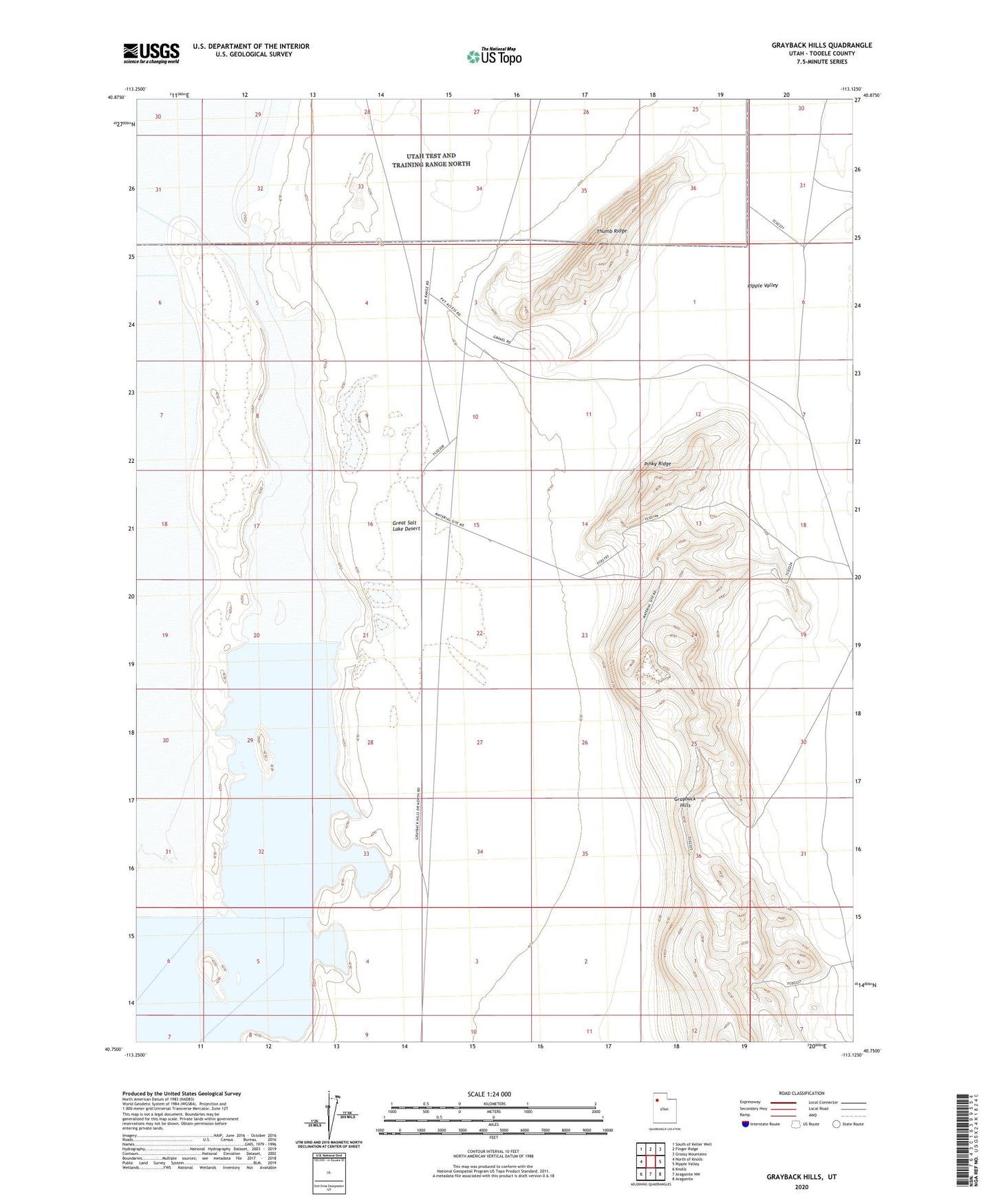
2020 topographic map quadrangle Grayback Hills in the state of Utah. Scale: 1:24000. Based on the newly updated USGS 7.5' US Topo map series, this map is in the following counties: Tooele. The map contains contour data, water features, and other items you are used to seeing on USGS maps, but also has updated roads and other features. This is the next generation of topographic maps. Printed on high-quality waterproof paper with UV fade-resistant inks.
Quads adjacent to this one:
West: North of Knolls
Northwest: South of Keller Well
North: Finger Ridge
Northeast: Grassy Mountains
East: Ripple Valley
Southeast: Aragonite
South: Aragonite NW
Southwest: Knolls
Contains the following named places: Grayback Hills, Pinky Ridge, Thumb Ridge