MyTopo
Nokai Dome Utah US Topo Map
Couldn't load pickup availability
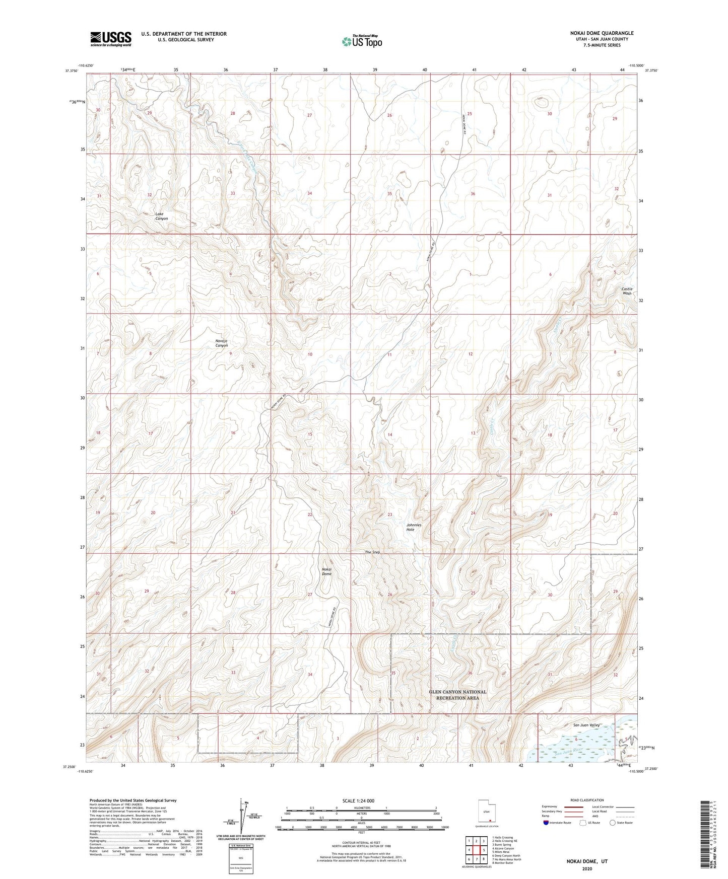
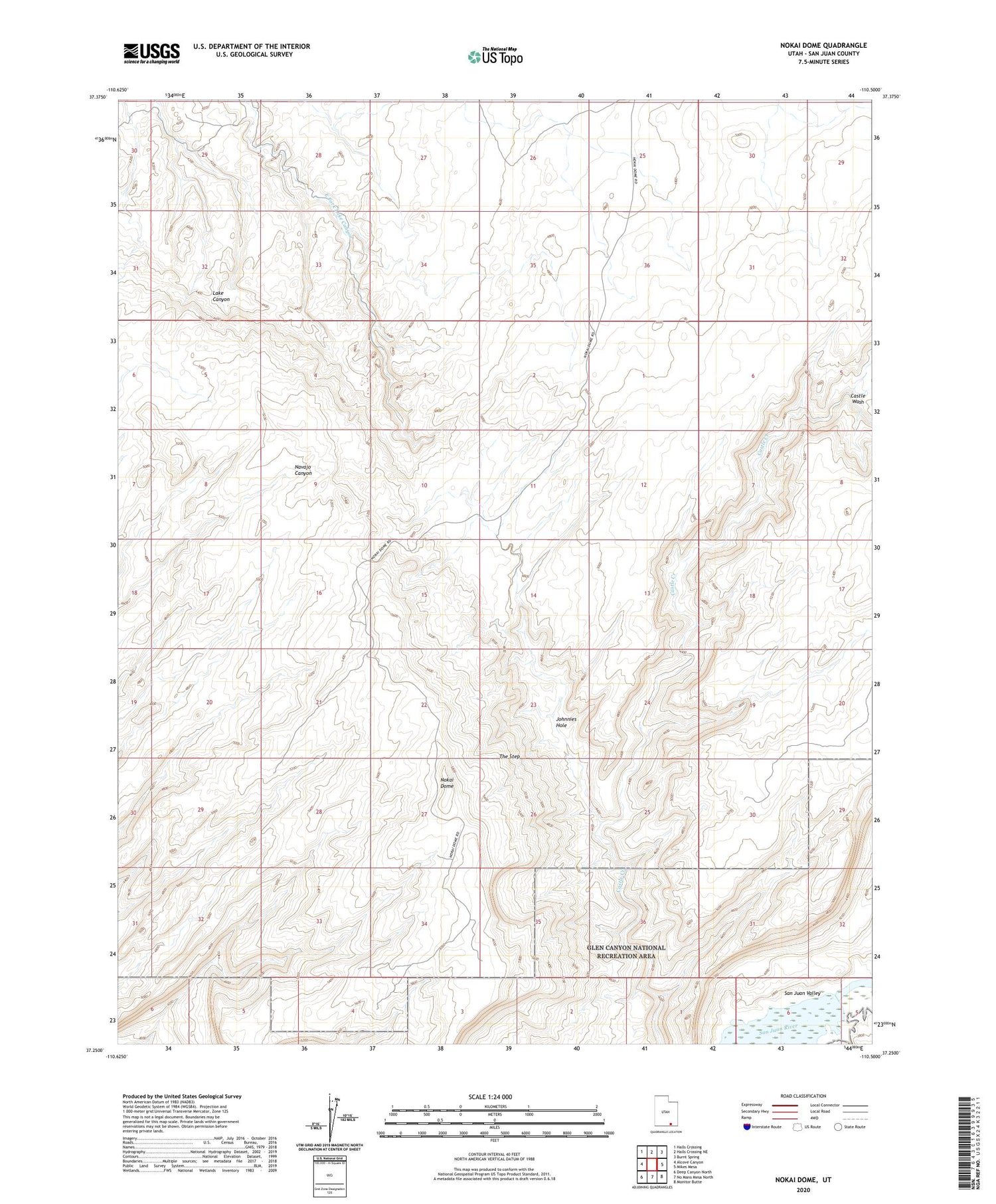
2020 topographic map quadrangle Nokai Dome in the state of Utah. Scale: 1:24000. Based on the newly updated USGS 7.5' US Topo map series, this map is in the following counties: San Juan. The map contains contour data, water features, and other items you are used to seeing on USGS maps, but also has updated roads and other features. This is the next generation of topographic maps. Printed on high-quality waterproof paper with UV fade-resistant inks.
Quads adjacent to this one:
West: Alcove Canyon
Northwest: Halls Crossing
North: Halls Crossing NE
Northeast: Burnt Spring
East: Mikes Mesa
Southeast: Monitor Butte
South: No Mans Mesa North
Southwest: Deep Canyon North
Contains the following named places: Johnnies Hole, Nokai Dome, The Step