MyTopo
Partoun Utah US Topo Map
Couldn't load pickup availability
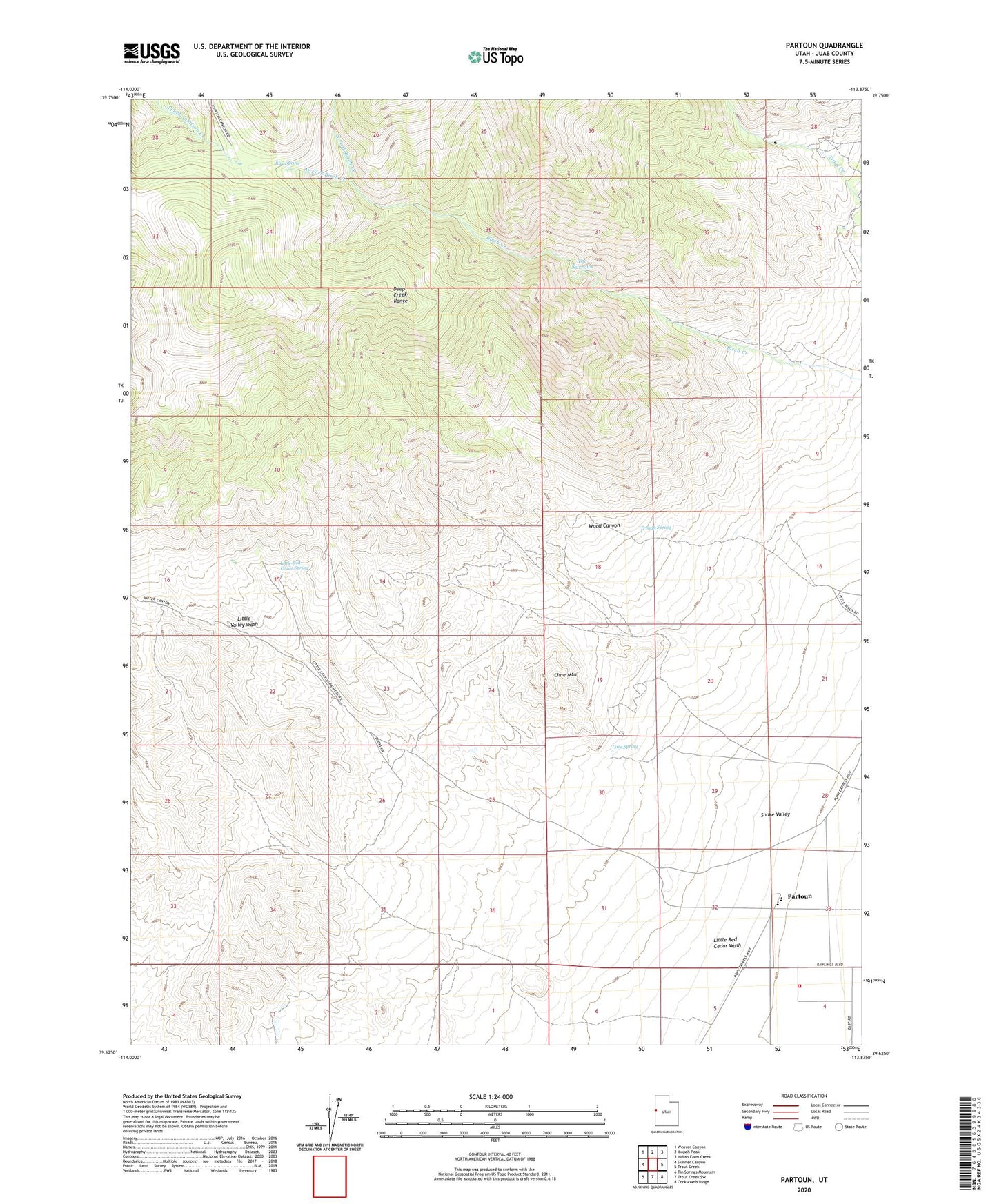
2020 topographic map quadrangle Partoun in the state of Utah. Scale: 1:24000. Based on the newly updated USGS 7.5' US Topo map series, this map is in the following counties: Juab. The map contains contour data, water features, and other items you are used to seeing on USGS maps, but also has updated roads and other features. This is the next generation of topographic maps. Printed on high-quality waterproof paper with UV fade-resistant inks.
Quads adjacent to this one:
West: Skinner Canyon
Northwest: Weaver Canyon
North: Ibapah Peak
Northeast: Indian Farm Creek
East: Trout Creek
Southeast: Cockscomb Ridge
South: Trout Creek SW
Southwest: Tin Springs Mountain
Contains the following named places: Blue Spring, Lime Mountain, Lime Spring, Little Red Cedar Spring, Little Red Cedar Wash, Little Valley Wash, North Fork Birch Creek, Partoun, Partoun Fire Department, South Fork Johnson Creek, The Narrows, Trough Spring, West Desert Elementary School, West Fork Birch Creek, Wood Canyon