
MyTopo
Cavendish Vermont US Topo Map
Couldn't load pickup availability
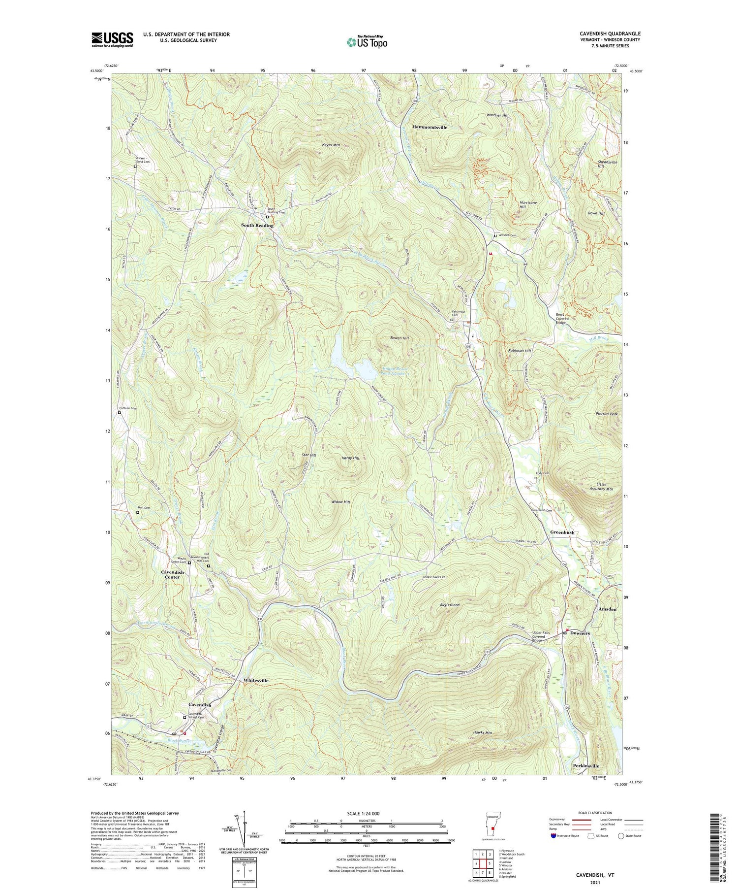
2021 topographic map quadrangle Cavendish in the state of Vermont. Scale: 1:24000. Based on the newly updated USGS 7.5' US Topo map series, this map is in the following counties: Windsor. The map contains contour data, water features, and other items you are used to seeing on USGS maps, but also has updated roads and other features. This is the next generation of topographic maps. Printed on high-quality waterproof paper with UV fade-resistant inks.
Quads adjacent to this one:
West: Ludlow
Northwest: Plymouth
North: Woodstock South
Northeast: Hartland
East: Windsor
Southeast: Springfield
South: Chester
Southwest: Andover
Contains the following named places: Albert C Lord State Forest, Alder Meadow Brook, Amsden, Amsden Cemetery, Bests Covered Bridge, Bowen Hill, Caton Place Campground, Cavendish, Cavendish Baptist Church, Cavendish Census Designated Place, Cavendish Center, Cavendish Center School, Cavendish Dam, Cavendish Fire Department, Cavendish Gorge, Cavendish Post Office, Cavendish Universalist Church, Cavendish Village Cemetery, Coffeen Cemetery, Crown Point Camping Area, Darby Brook, Downers, Eagleshead, Eddy Cemetery, Elm Brook, Felchville, Felchville Cemetery, Greenbush, Greenbush Cemetery, Hammondsville, Hardy Hill, Hawks Mountain Wildlife Management Area, Hurricane Hill, Keyes Mountain, Knapp Brook, Knapp Brook Pond Number 1, Knapp Brook Pond Number 2, Knapp Brook Ponds, Knapp Brook Site Number 1 Dam, Knapp Brook Site Number 2 Dam, Knapp Brook Wildlife Management Area, Little Ascutney Mountain, Mount Union Cemetery, Old Revolutionary War Cemetery, Perkinsville Post Office, Pest Cemetery, Pierson Peak, Reading Elementary School, Reading Fire and Rescue, Reading Hill Brook, Reading Municipal Forest, Reading Post Office, Robinson Hill, Rowe Hill, Rush Meadow School, Sawyer - Stand Cemetery, Sawyer Stand School, Sheddsville Hill, South Reading, South Reading Cemetery, South Reading Schoolhouse, Star Hill, Stockin School, Tarbell Hill School, Town of Cavendish, Town of Reading, Tracer Brook, Twentymile Stream, Upper Falls Covered Bridge, Wardner Hill, Weathersfield Municipal Forest, West Weathersfield Volunteer Fire Department, Whitesville, Widow Hill, Willow Brook, ZIP Codes: 05062, 05142


