MyTopo
Honn Lakes Washington US Topo Map
Couldn't load pickup availability
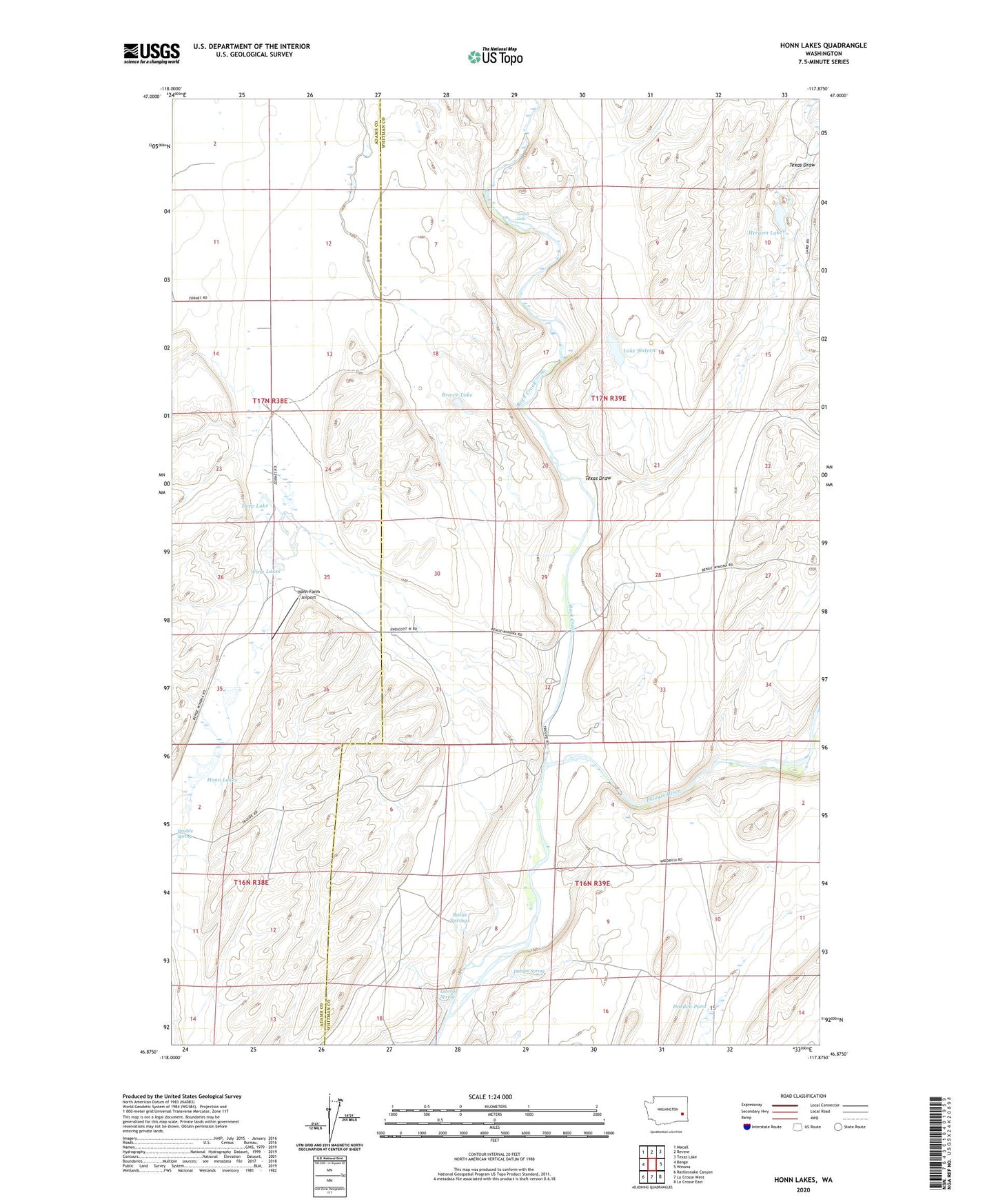
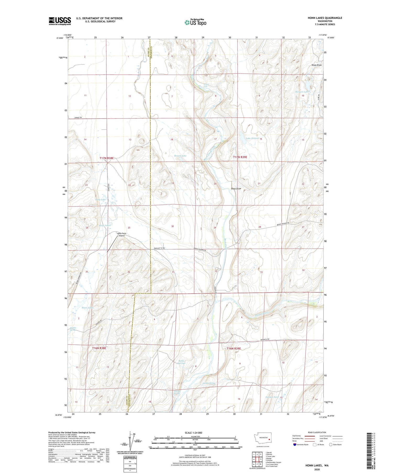
2020 topographic map quadrangle Honn Lakes in the state of Washington. Scale: 1:24000. Based on the newly updated USGS 7.5' US Topo map series, this map is in the following counties: Whitman, Adams. The map contains contour data, water features, and other items you are used to seeing on USGS maps, but also has updated roads and other features. This is the next generation of topographic maps. Printed on high-quality waterproof paper with UV fade-resistant inks.
Quads adjacent to this one:
West: Benge
Northwest: Macall
North: Revere
Northeast: Texas Lake
East: Winona
Southeast: La Crosse East
South: La Crosse West
Southwest: Rattlesnake Canyon
Contains the following named places: Brown Lake, Bruihle Spring, Bull Town, Darden Pond, Darden Spring, Deep Lake, Hergert Lake, Honn Farm Airport, Honn Lakes, Lake Sixteen, Lehrbas Spring, Rock Creek, Rollie Springs, Texas Draw, Towell Falls, Winn Lakes