
MyTopo
Johnson Butte Washington US Topo Map
Couldn't load pickup availability
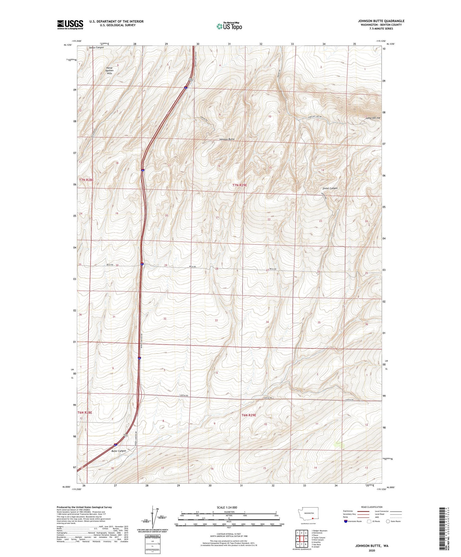
2020 topographic map quadrangle Johnson Butte in the state of Washington. Scale: 1:24000. Based on the newly updated USGS 7.5' US Topo map series, this map is in the following counties: Benton. The map contains contour data, water features, and other items you are used to seeing on USGS maps, but also has updated roads and other features. This is the next generation of topographic maps. Printed on high-quality waterproof paper with UV fade-resistant inks.
Quads adjacent to this one:
West: Taylor Canyon
Northwest: Badger Mountain
North: Kennewick
Northeast: Pasco
East: Nine Canyon
Southeast: Juniper
South: Hat Rock
Southwest: Umatilla
Contains the following named places: Bofer Canyon, Bofer Well, Burlingame Dam, Coffin Sheep Dam, Cresswell Well, Creswell Well, Johnson Butte, Jump Off Joe, KEPR-TV (Pasco), KFAE-FM (Richland), KIOK-FM (Richland), KNDU-TV (Richland), KONA-FM (Kennewick), KORD-FM (Richland), KOTY-FM (Richland), KTNW-TV (Richland), KVEW-TV (Kennewick), Pat Owens Dam


