MyTopo
Sundale Washington US Topo Map
Couldn't load pickup availability
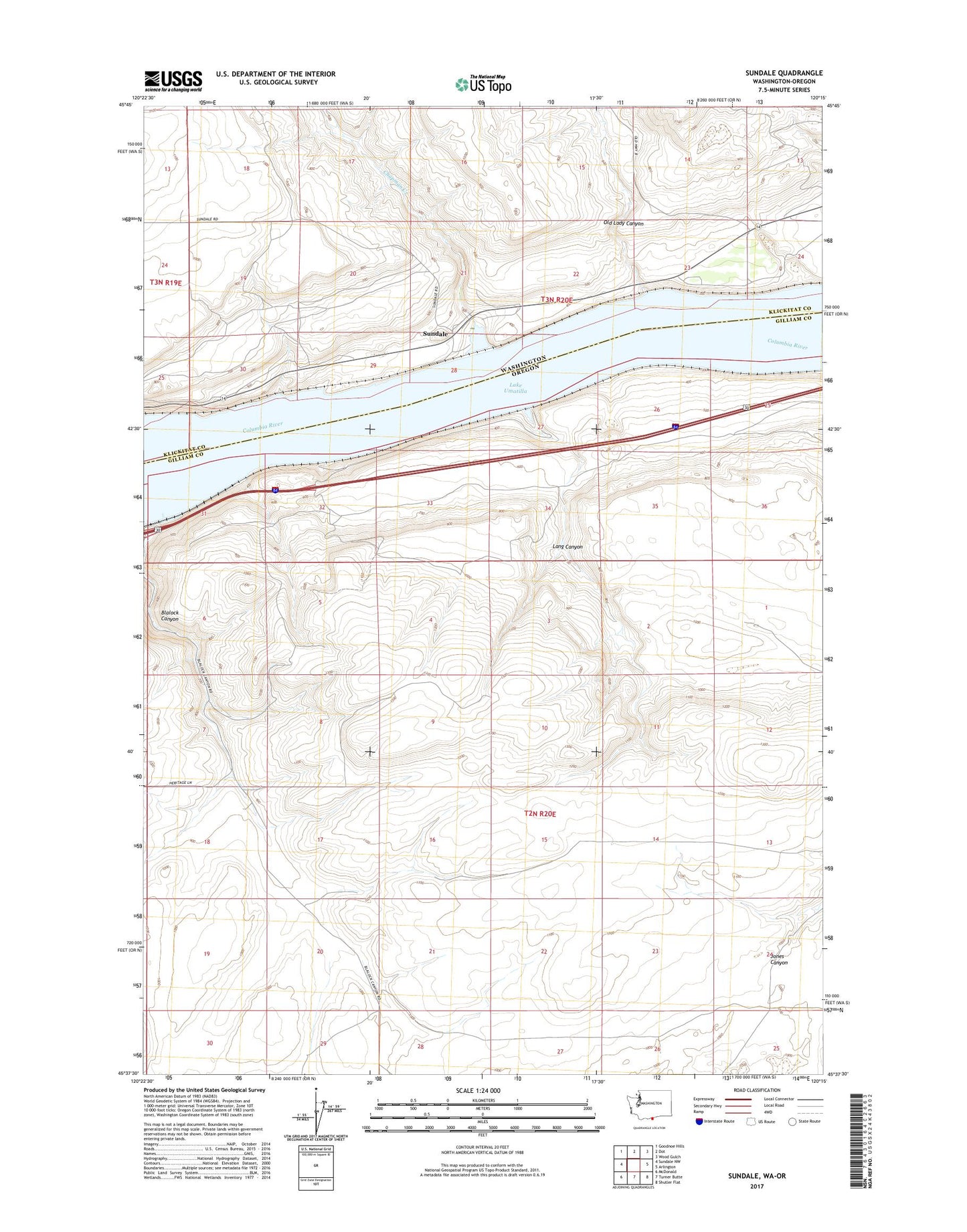
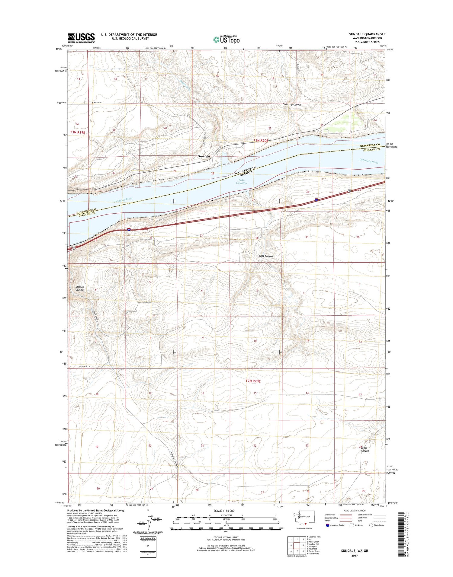
2020 topographic map quadrangle Sundale in the states of Oregon, Washington. Scale: 1:24000. Based on the newly updated USGS 7.5' US Topo map series, this map is in the following counties: Klickitat, Gilliam. The map contains contour data, water features, and other items you are used to seeing on USGS maps, but also has updated roads and other features. This is the next generation of topographic maps. Printed on high-quality waterproof paper with UV fade-resistant inks.
Quads adjacent to this one:
West: Sundale NW
Northwest: Goodnoe Hills
North: Dot
Northeast: Wood Gulch
East: Arlington
Southeast: Shutler Flat
South: Turner Butte
Southwest: McDonald
Contains the following named places: Blalock Canyon, Blalock Post Office, Chapman Creek, Gilmore, Lang Canyon, Langs, Old Lady Canyon, Sundale, Sundale Treaty Fishing Access Site