MyTopo
Wilson Creek Washington US Topo Map
Couldn't load pickup availability
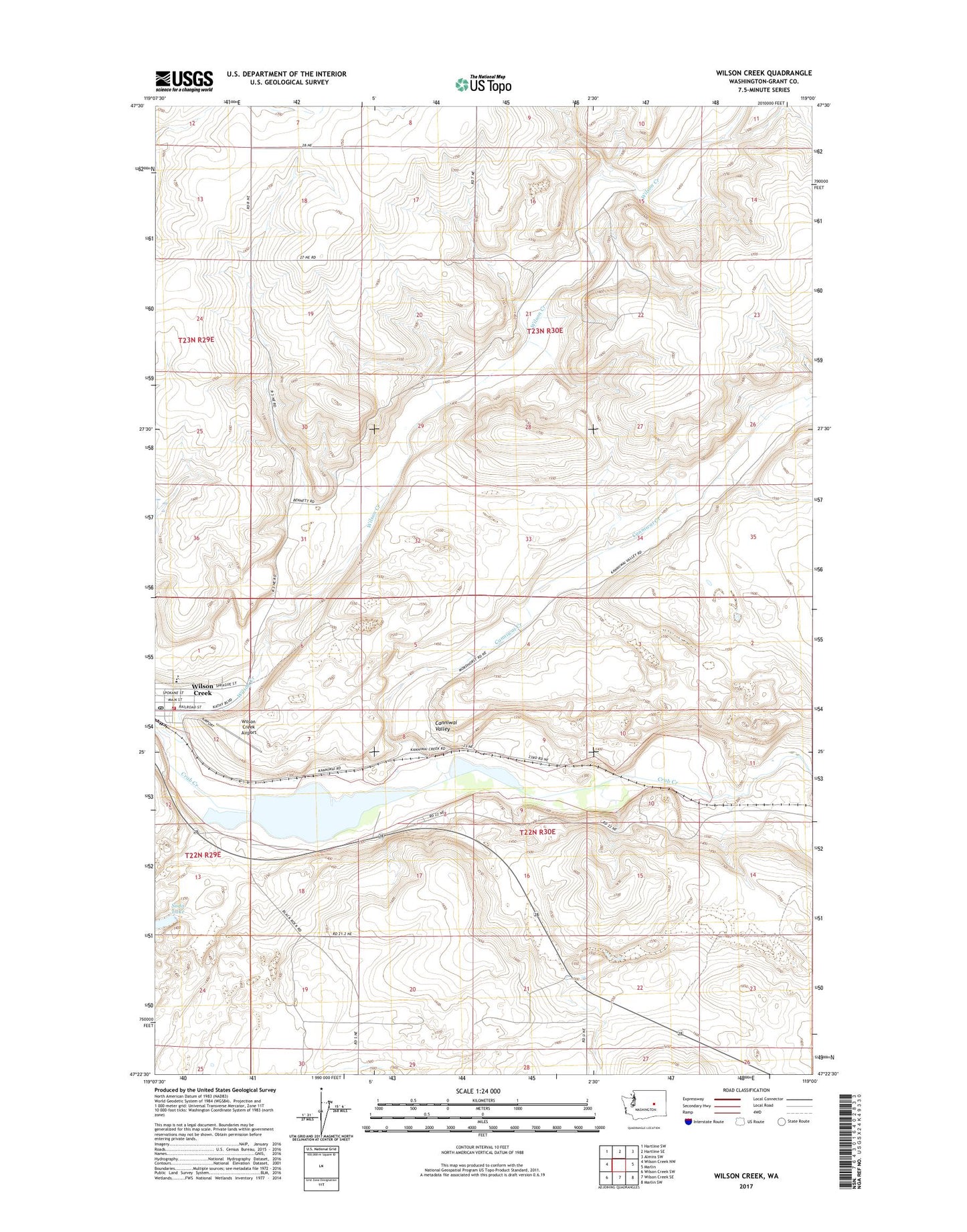
2020 topographic map quadrangle Wilson Creek in the state of Washington. Scale: 1:24000. Based on the newly updated USGS 7.5' US Topo map series, this map is in the following counties: Grant. The map contains contour data, water features, and other items you are used to seeing on USGS maps, but also has updated roads and other features. This is the next generation of topographic maps. Printed on high-quality waterproof paper with UV fade-resistant inks.
Quads adjacent to this one:
West: Wilson Creek NW
Northwest: Hartline SW
North: Hartline SE
Northeast: Almira SW
East: Marlin
Southeast: Marlin SW
South: Wilson Creek SE
Southwest: Wilson Creek SW
Contains the following named places: Bennett Dam, Canniwai Creek, Canniwai Valley, Grant County Fire District 12 Station 1, Soda Lake, Town of Wilson Creek, Wilson Creek, Wilson Creek Airport, Wilson Creek Elementary School, Wilson Creek High School, Wilson Creek Post Office