MyTopo
Wood Gulch Washington US Topo Map
Couldn't load pickup availability
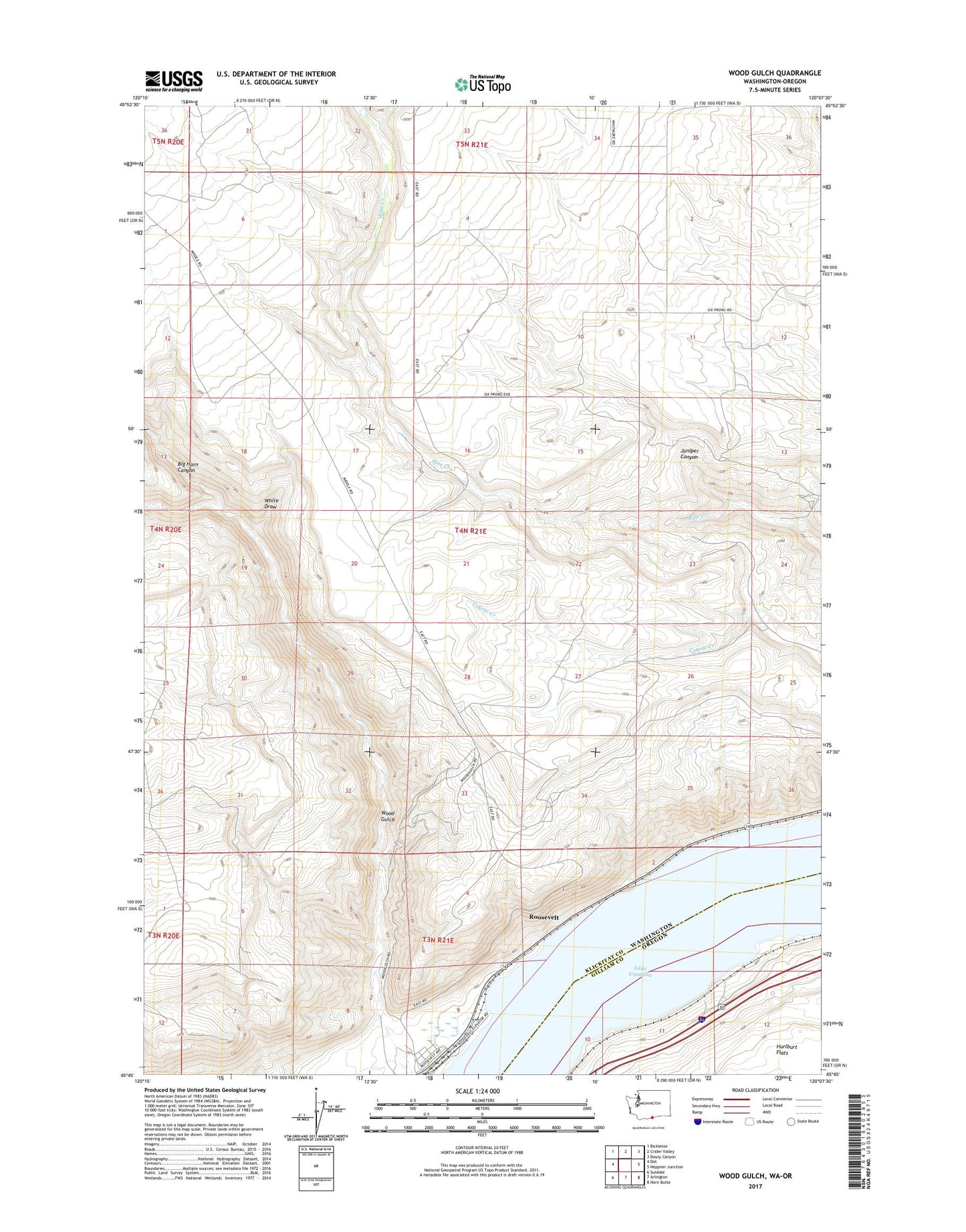
2020 topographic map quadrangle Wood Gulch in the states of Washington, Oregon. Scale: 1:24000. Based on the newly updated USGS 7.5' US Topo map series, this map is in the following counties: Klickitat, Gilliam. The map contains contour data, water features, and other items you are used to seeing on USGS maps, but also has updated roads and other features. This is the next generation of topographic maps. Printed on high-quality waterproof paper with UV fade-resistant inks.
Quads adjacent to this one:
West: Dot
Northwest: Bickleton
North: Crider Valley
Northeast: Douty Canyon
East: Heppner Junction
Southeast: Horn Butte
South: Arlington
Southwest: Sundale
Contains the following named places: Big Horn Canyon, Goodknight Ranch, Haulwater, Juniper Canyon, Moonay Treaty Fishing Access Site, Silica, White Draw, Whitmore Ranch, Wood Creek, Wood Gulch