MyTopo
Hogsback Creek Wisconsin US Topo Map
Couldn't load pickup availability
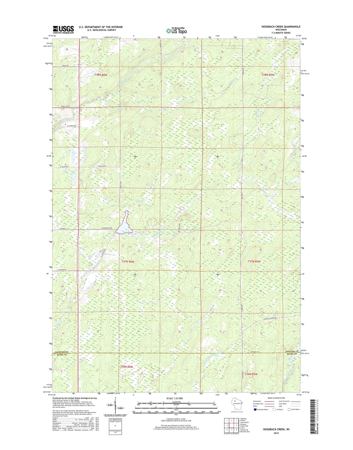
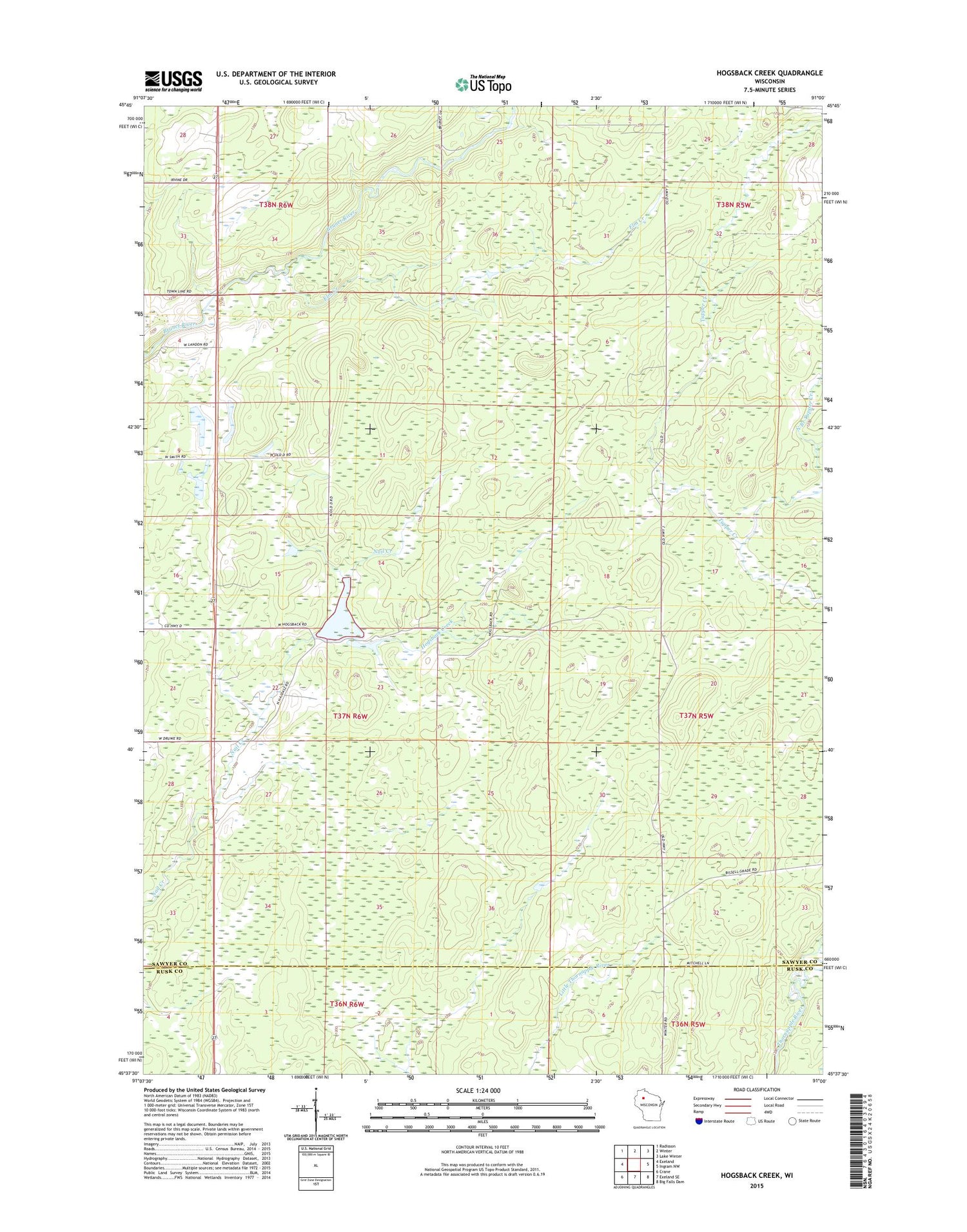
2018 topographic map quadrangle Hogsback Creek in the state of Wisconsin. Scale: 1:24000. Based on the newly updated USGS 7.5' US Topo map series, this map is in the following counties: Sawyer, Rusk. The map contains contour data, water features, and other items you are used to seeing on USGS maps, but also has updated roads and other features. This is the next generation of topographic maps. Printed on high-quality waterproof paper with UV fade-resistant inks.
Quads adjacent to this one:
West: Exeland
Northwest: Radisson
North: Winter
Northeast: Lake Winter
East: Ingram NW
Southeast: Big Falls Dam
South: Exeland SE
Southwest: Crane
Contains the following named places: Elm Creek, Finnell Dam, Hogsback Creek, Meadowbrook School, North Branch Tupper Creek, Swayne Lookout Tower, Town of Meadowbrook