MyTopo
Port Wing Wisconsin US Topo Map
Couldn't load pickup availability
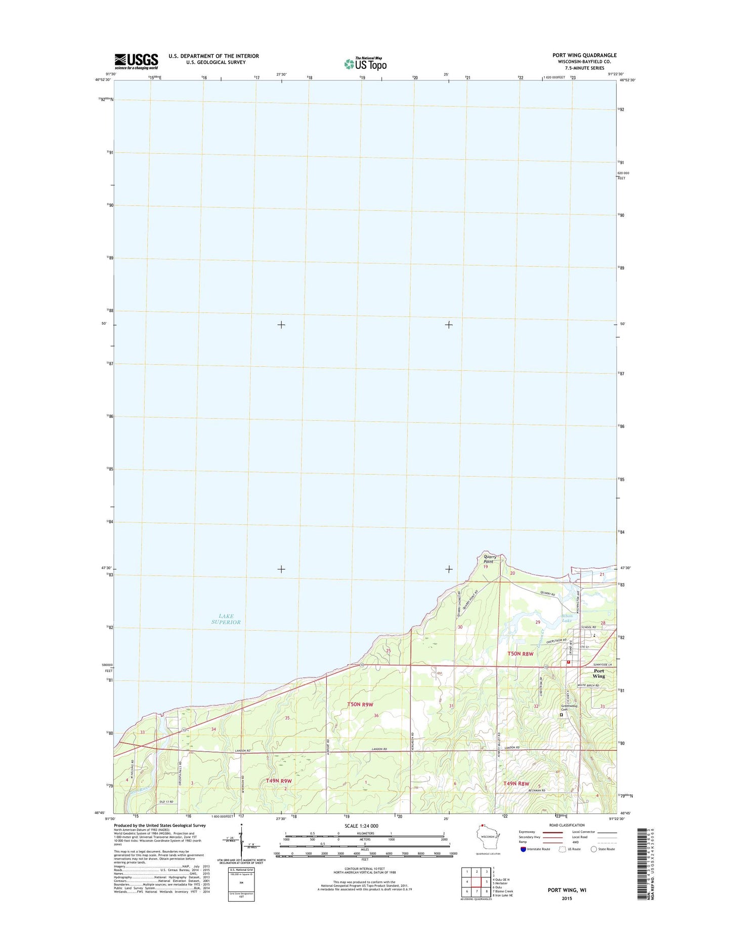
2018 topographic map quadrangle Port Wing in the state of Wisconsin. Scale: 1:24000. Based on the newly updated USGS 7.5' US Topo map series, this map is in the following counties: Bayfield. The map contains contour data, water features, and other items you are used to seeing on USGS maps, but also has updated roads and other features. This is the next generation of topographic maps. Printed on high-quality waterproof paper with UV fade-resistant inks.
Quads adjacent to this one:
West: Oulu OE N
East: Herbster
Southeast: Iron Lake NE
South: Blaine Creek
Southwest: Oulu
Contains the following named places: Bibon Lake, East Pier Light, Flag River, Greenwood Cemetery, Iron River, Larson Creek, Port Wing, Port Wing Boreal Forest State Natural Area, Port Wing Census Designated Place, Port Wing Fire Department, Port Wing Post Office, Quarry Point, South Shore School