MyTopo
Church Butte NW Wyoming US Topo Map
Couldn't load pickup availability
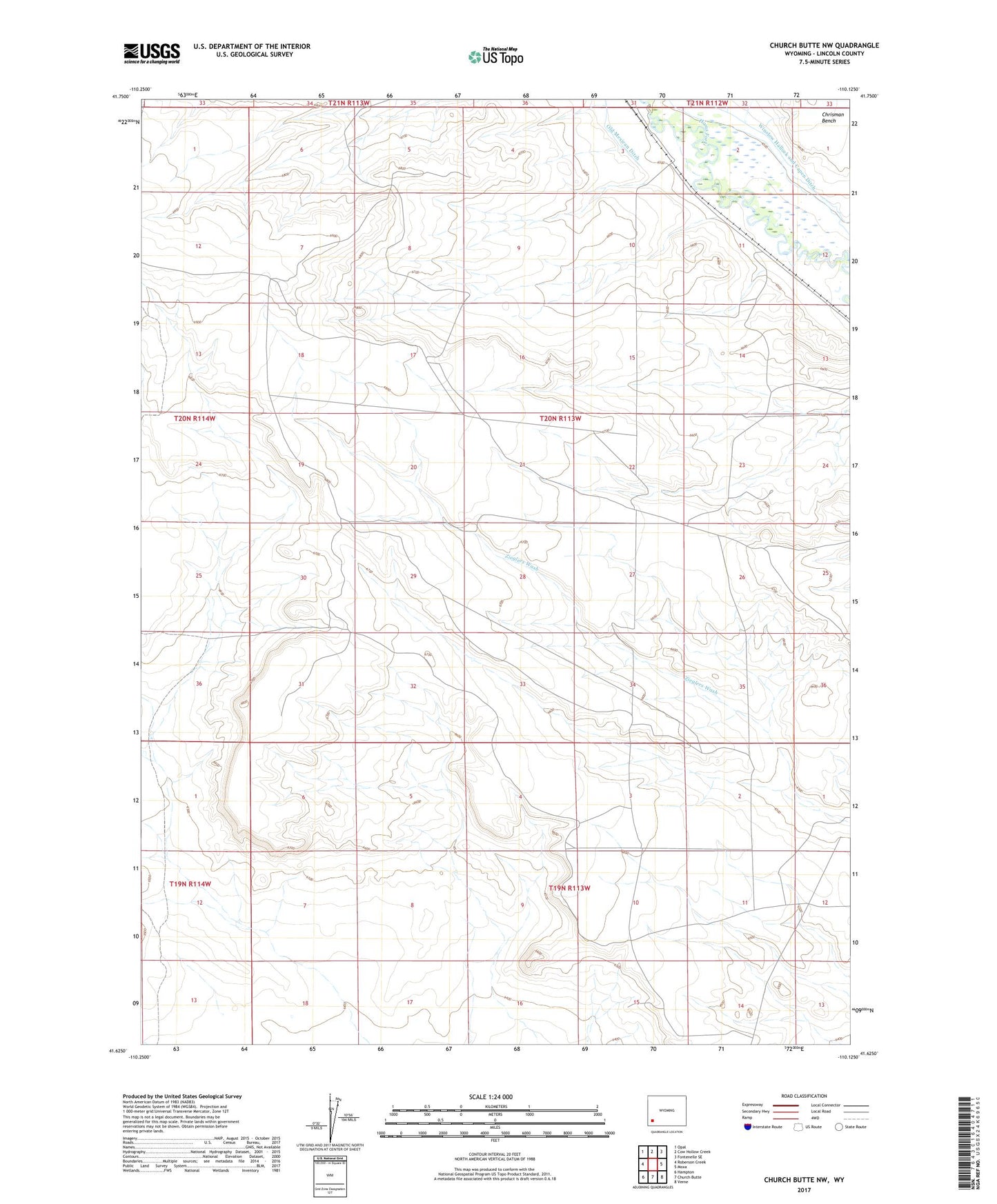
2021 topographic map quadrangle Church Butte NW in the state of Wyoming. Scale: 1:24000. Based on the newly updated USGS 7.5' US Topo map series, this map is in the following counties: Lincoln. The map contains contour data, water features, and other items you are used to seeing on USGS maps, but also has updated roads and other features. This is the next generation of topographic maps. Printed on high-quality waterproof paper with UV fade-resistant inks.
Quads adjacent to this one:
West: Roberson Creek
Northwest: Opal
North: Cow Hollow Creek
Northeast: Fontenelle SE
East: Moxa
Southeast: Verne
South: Church Butte
Southwest: Hampton
Contains the following named places: Chrisman Bench, Nutria Ditch, Winslow Hallock and Capen Ditch