MyTopo
Green Hill Wyoming US Topo Map
Couldn't load pickup availability
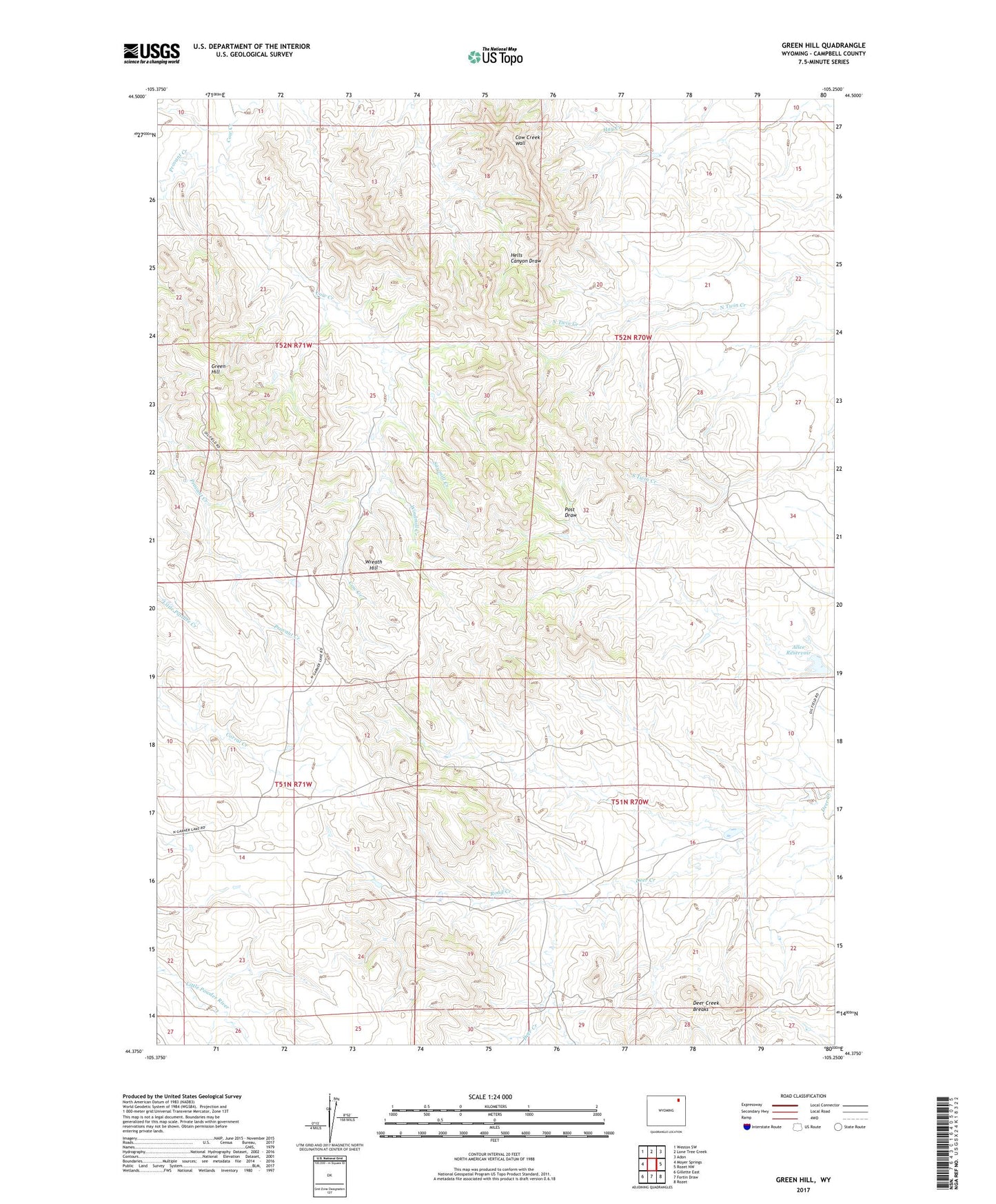
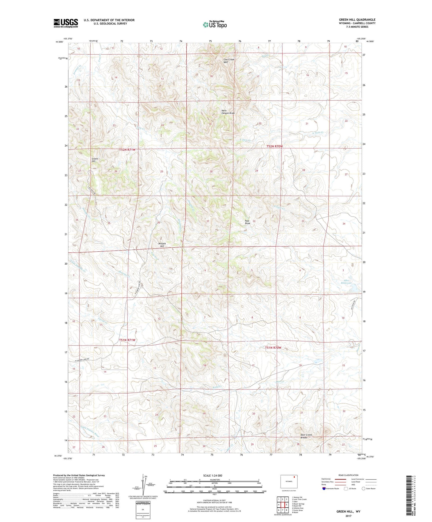
2021 topographic map quadrangle Green Hill in the state of Wyoming. Scale: 1:24000. Based on the newly updated USGS 7.5' US Topo map series, this map is in the following counties: Campbell. The map contains contour data, water features, and other items you are used to seeing on USGS maps, but also has updated roads and other features. This is the next generation of topographic maps. Printed on high-quality waterproof paper with UV fade-resistant inks.
Quads adjacent to this one:
West: Moyer Springs
Northwest: Weston SW
North: Lone Tree Creek
Northeast: Adon
East: Rozet NW
Southeast: Rozet
South: Fortin Draw
Southwest: Gillette East
Contains the following named places: Allee Reservoir, Cow Creek Ranch, Cow Creek Wall, East Prong Deer Creek, Green Hill, Provant Creek, Road Creek, Sawmill Creek, Windmill Creek, Wreath Hill