MyTopo
Larsen Knoll Wyoming US Topo Map
Couldn't load pickup availability
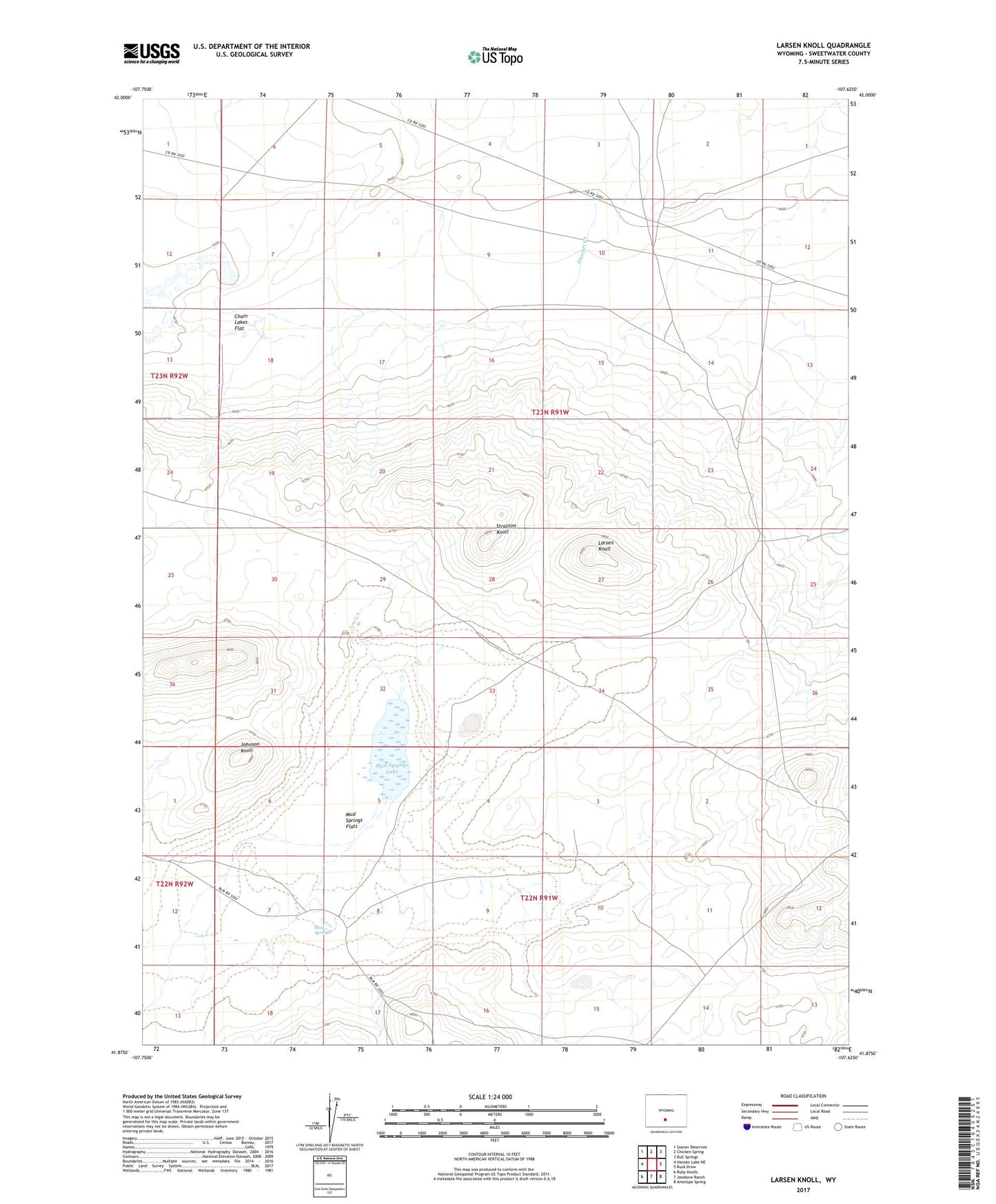
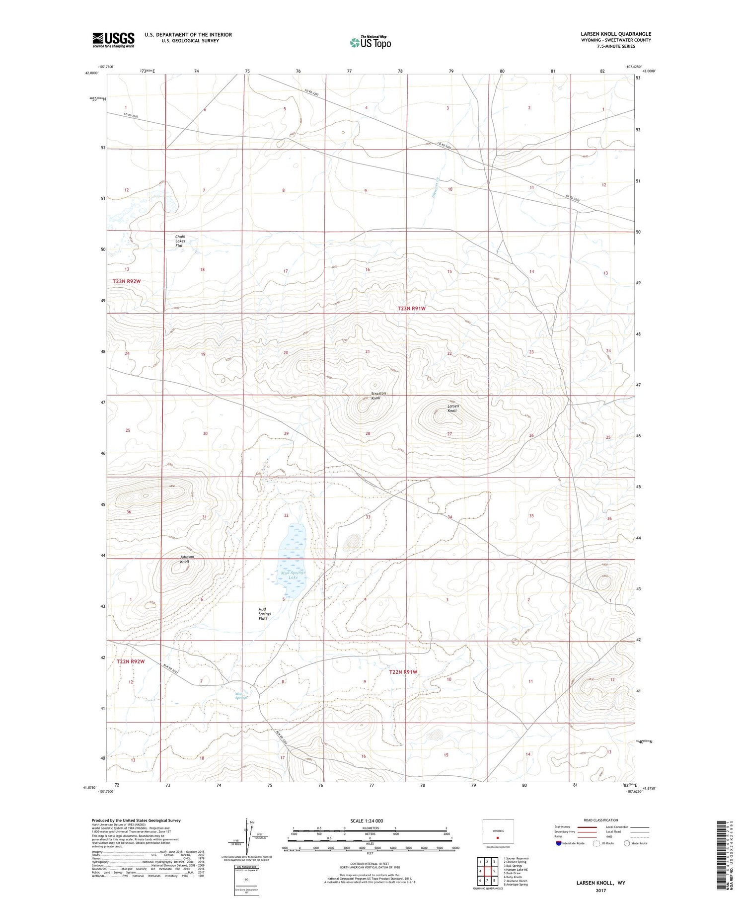
2021 topographic map quadrangle Larsen Knoll in the state of Wyoming. Scale: 1:24000. Based on the newly updated USGS 7.5' US Topo map series, this map is in the following counties: Sweetwater. The map contains contour data, water features, and other items you are used to seeing on USGS maps, but also has updated roads and other features. This is the next generation of topographic maps. Printed on high-quality waterproof paper with UV fade-resistant inks.
Quads adjacent to this one:
West: Hansen Lake NE
Northwest: Sooner Reservoir
North: Chicken Spring
Northeast: Bull Springs
East: Buck Draw
Southeast: Antelope Spring
South: Jawbone Ranch
Southwest: Ruby Knolls
Contains the following named places: Johnson Knoll, Larsen Knoll, Larsen Ranch, Mud Springs, Mud Springs Flats, Mud Springs Lake, Stewart Creek, Stratton Knoll