MyTopo
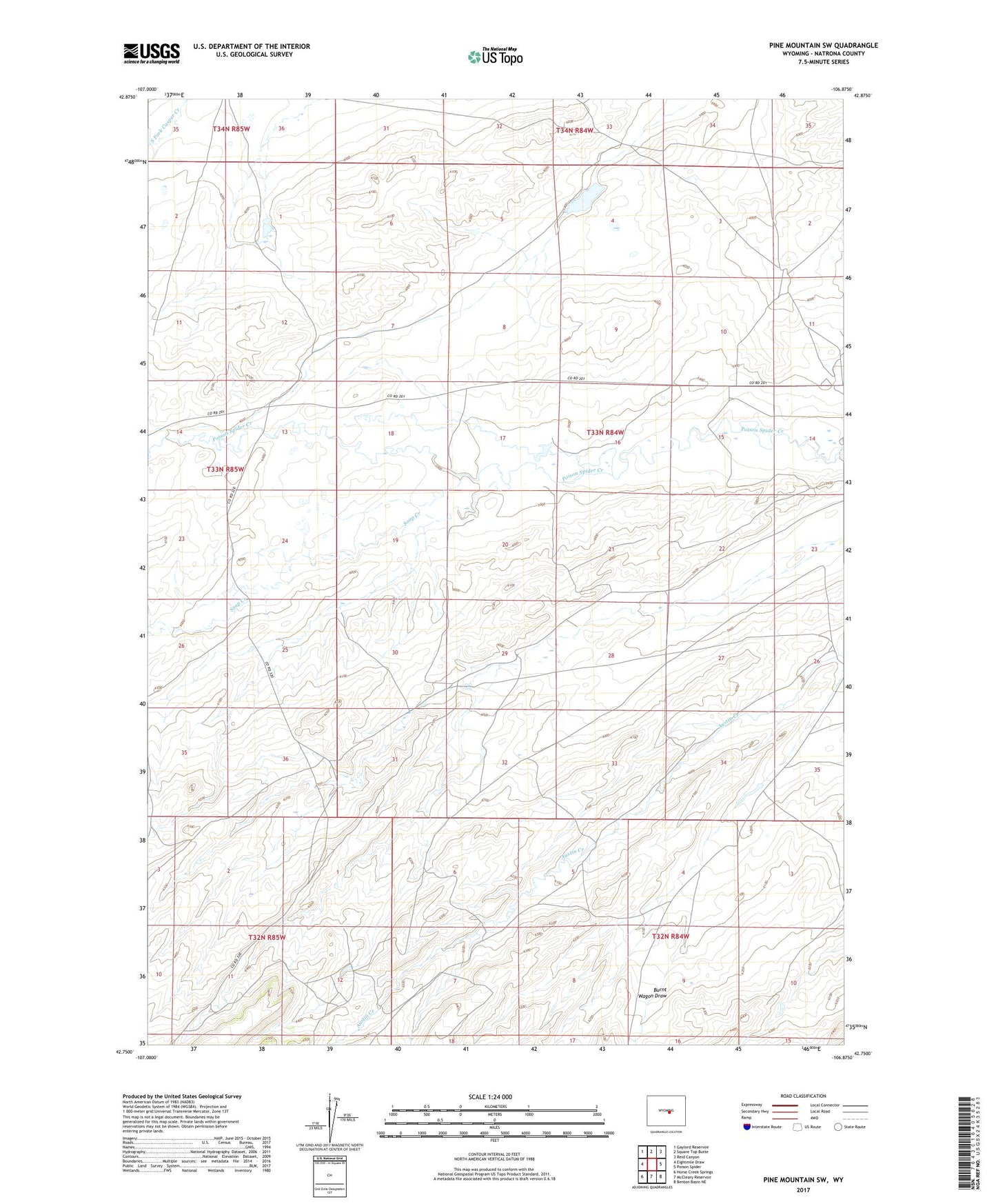
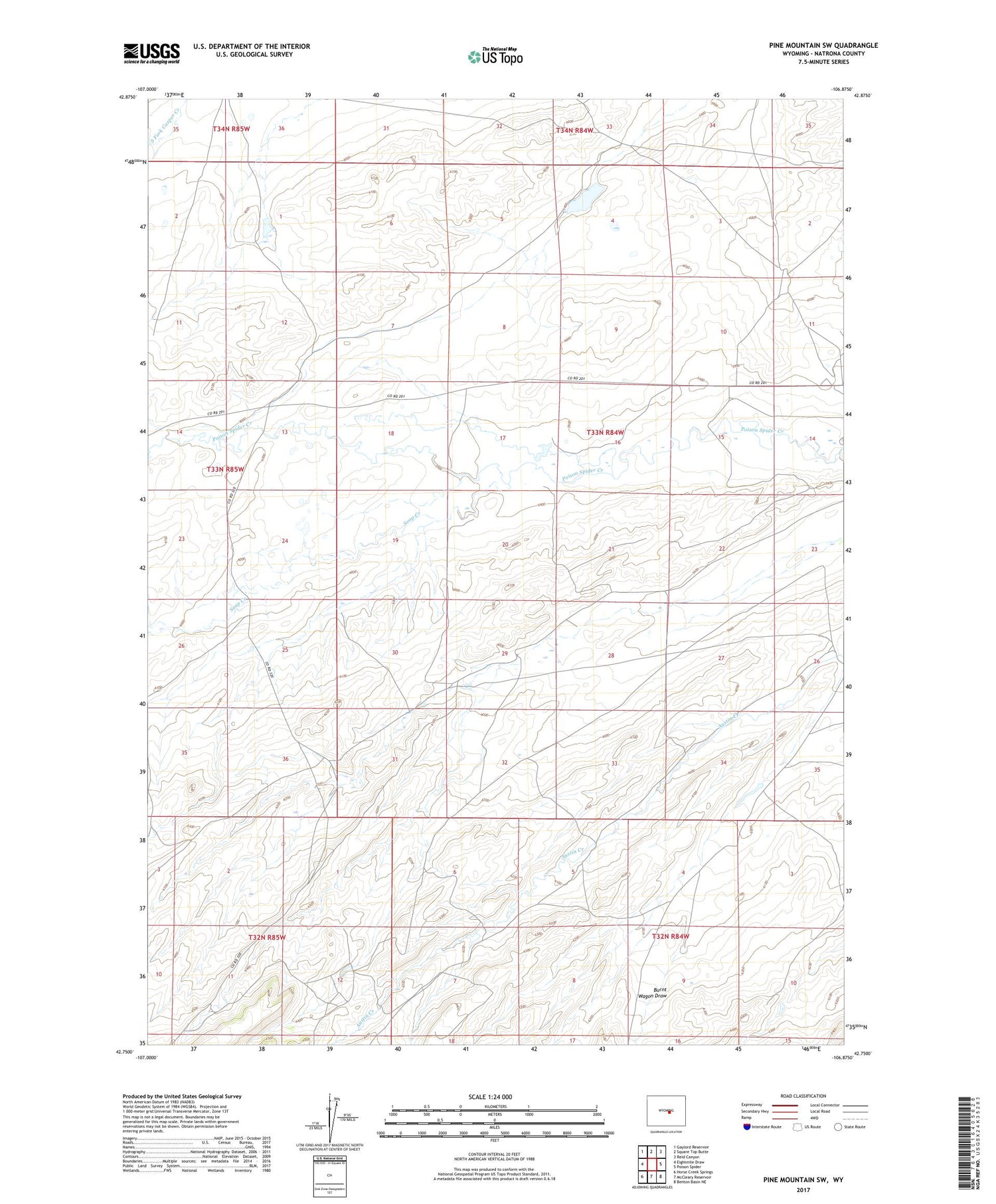
Pine Mountain SW Wyoming US Topo Map
Couldn't load pickup availability
2021 topographic map quadrangle Pine Mountain SW in the state of Wyoming. Scale: 1:24000. Based on the newly updated USGS 7.5' US Topo map series, this map is in the following counties: Natrona. The map contains contour data, water features, and other items you are used to seeing on USGS maps, but also has updated roads and other features. This is the next generation of topographic maps. Printed on high-quality waterproof paper with UV fade-resistant inks.
Quads adjacent to this one:
West: Eightmile Draw
Northwest: Gaylord Reservoir
North: Square Top Butte
Northeast: Reid Canyon
East: Poison Spider
Southeast: Benton Basin NE
South: McCleary Reservoir
Southwest: Horse Creek Springs
Contains the following named places: Burnt Wagon Draw, Dodds Ranch, J and J Dam, J and J Reservoir, Soap Creek, Verna Bell Claim, West Poison Spider Camp