MyTopo
Table Rock Wyoming US Topo Map
Couldn't load pickup availability
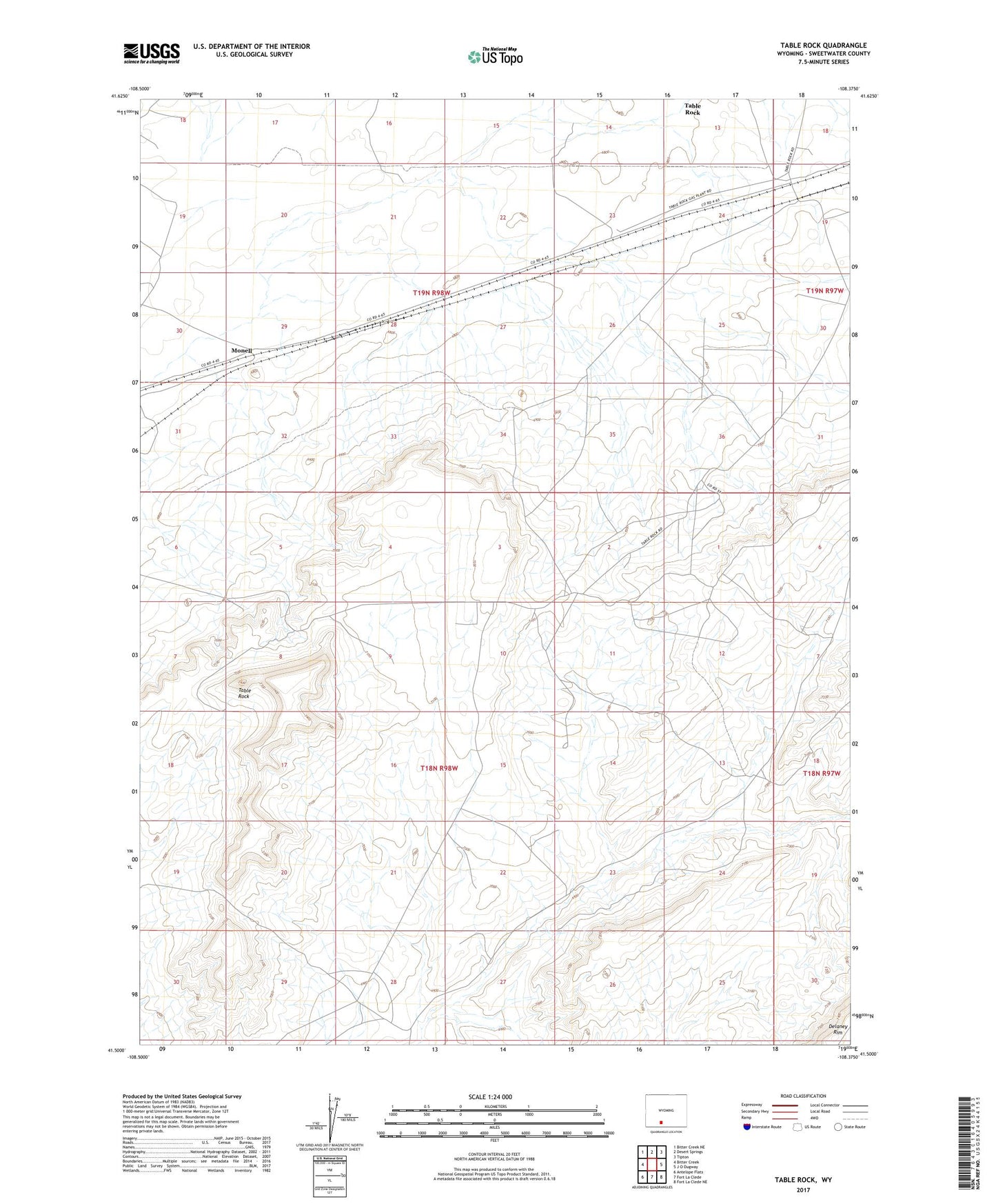
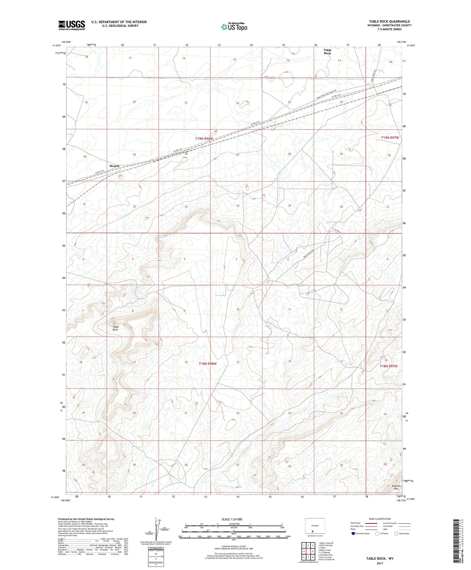
2021 topographic map quadrangle Table Rock in the state of Wyoming. Scale: 1:24000. Based on the newly updated USGS 7.5' US Topo map series, this map is in the following counties: Sweetwater. The map contains contour data, water features, and other items you are used to seeing on USGS maps, but also has updated roads and other features. This is the next generation of topographic maps. Printed on high-quality waterproof paper with UV fade-resistant inks.
Quads adjacent to this one:
West: Bitter Creek
Northwest: Bitter Creek NE
North: Desert Springs
Northeast: Tipton
East: J O Dugway
Southeast: Fort La Clede NE
South: Fort La Clede
Southwest: Antelope Flats
Contains the following named places: J O Junction, Monell, Table Rock, Table Rock Census Designated Place, Table Rock Oil and Gas Field