MyTopo
The Gap Wyoming US Topo Map
Couldn't load pickup availability
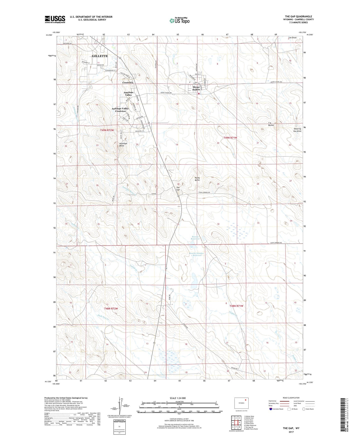
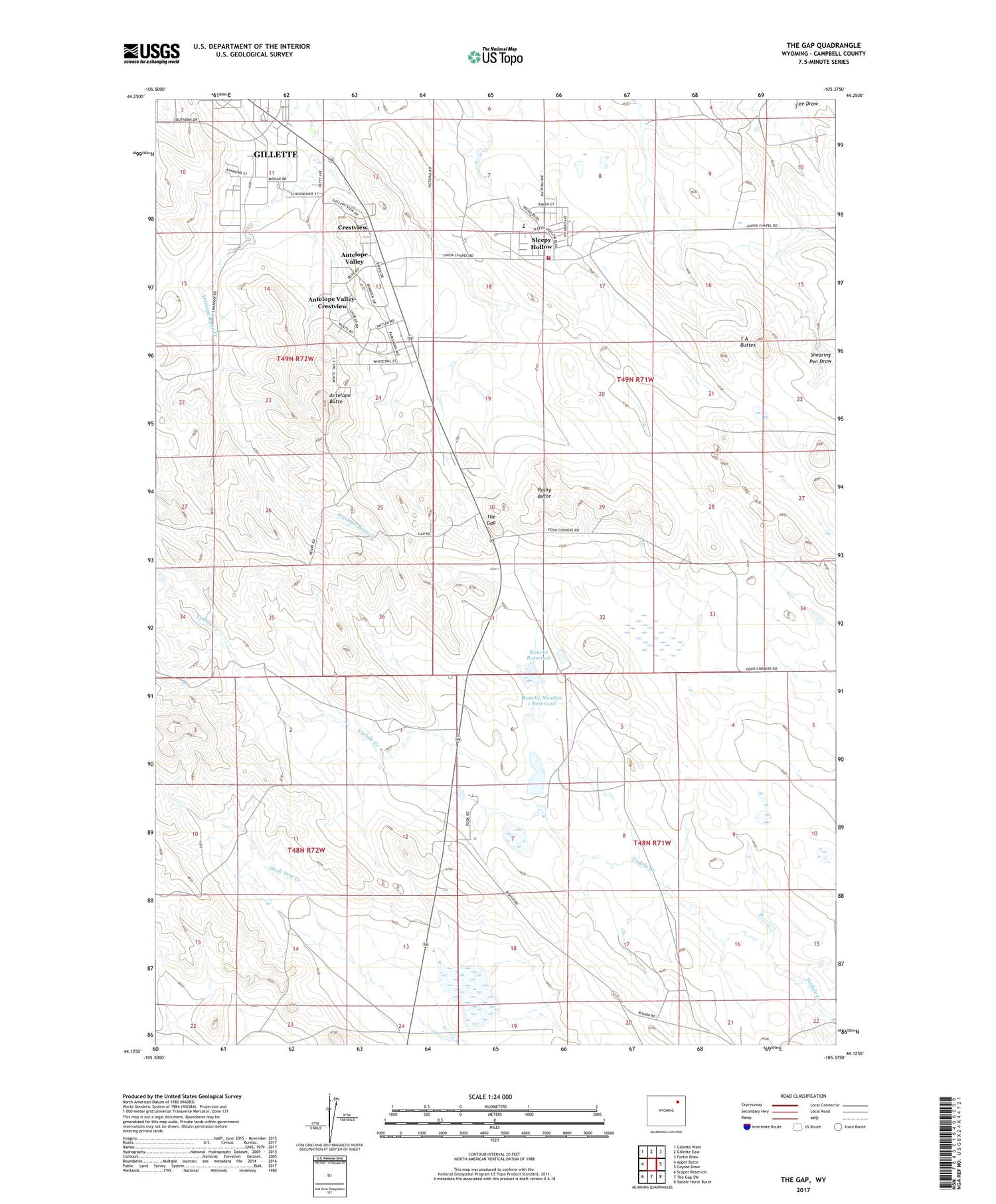
2021 topographic map quadrangle The Gap in the state of Wyoming. Scale: 1:24000. Based on the newly updated USGS 7.5' US Topo map series, this map is in the following counties: Campbell. The map contains contour data, water features, and other items you are used to seeing on USGS maps, but also has updated roads and other features. This is the next generation of topographic maps. Printed on high-quality waterproof paper with UV fade-resistant inks.
Quads adjacent to this one:
West: Appel Butte
Northwest: Gillette West
North: Gillette East
Northeast: Fortin Draw
East: Coyote Draw
Southeast: Saddle Horse Butte
South: The Gap SW
Southwest: Scaper Reservoir
Contains the following named places: Antelope Butte, Antelope Valley, Antelope Valley-Crestview Census Designated Place, Campbell County Fire Department Station 11, Crestview, Rocky Butte, Rourke Number 1 Dam, Rourke Number 1 Reservoir, Rourke Reservoir, Sleepy Hollow, Sleepy Hollow Census Designated Place, Southern Drive Industrial Park, T A Buttes, The Gap