
MyTopo
Pass a Loutre East Louisiana US Topo Map
Couldn't load pickup availability
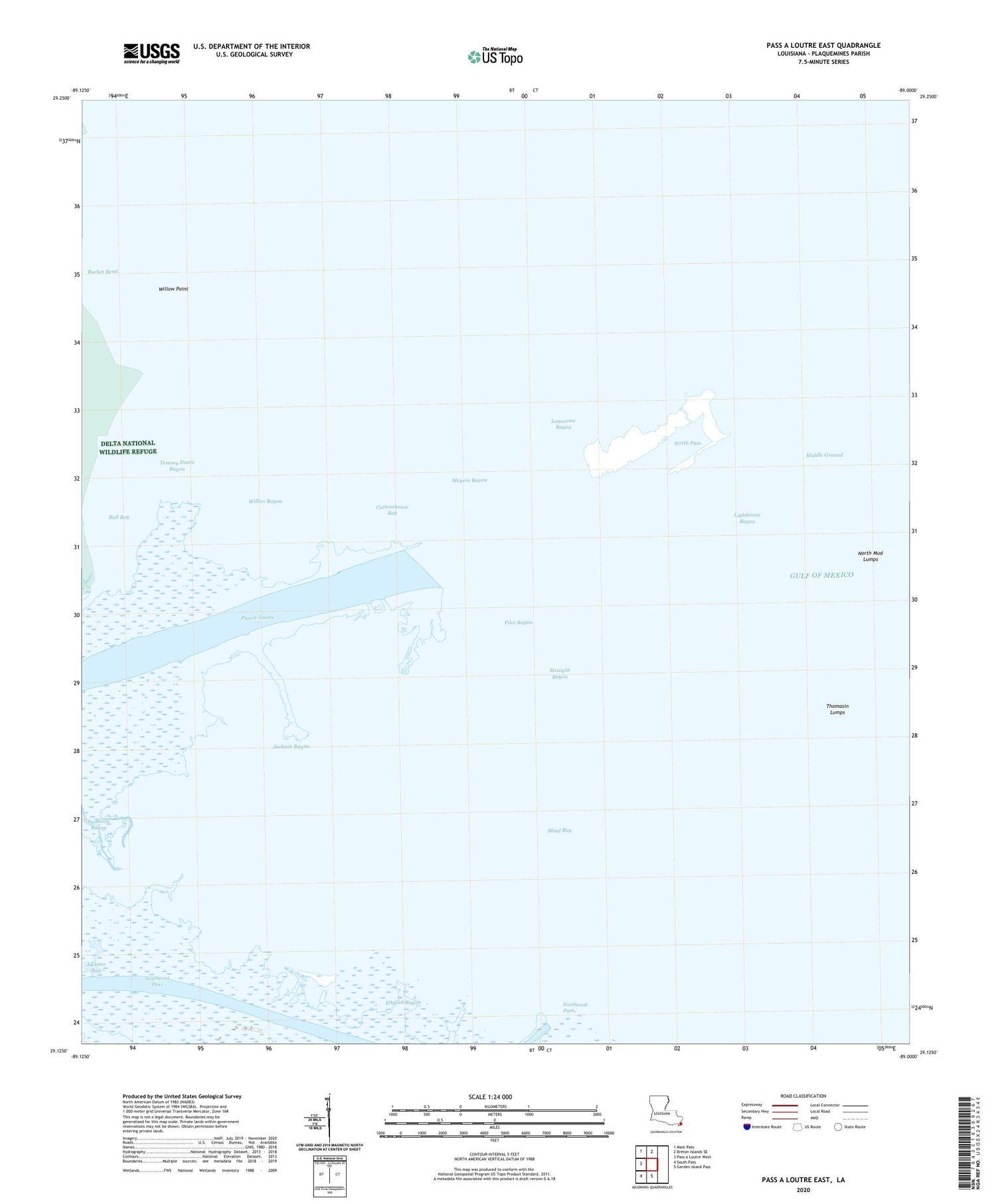
2020 topographic map quadrangle Pass a Loutre East in the state of Louisiana. Scale: 1:24000. Based on the newly updated USGS 7.5' US Topo map series, this map is in the following counties: Plaquemines. The map contains contour data, water features, and other items you are used to seeing on USGS maps, but also has updated roads and other features. This is the next generation of topographic maps. Printed on high-quality waterproof paper with UV fade-resistant inks.
Quads adjacent to this one:
West: Pass a Loutre West
Northwest: Main Pass
North: Breton Islands SE
South: Garden Island Pass
Southwest: South Pass
Contains the following named places: Blind Bay, Blind Bay Oil Field, Block 1 Oil Field, Block 5 Oil Field, Bucket Bend, Bull Bay, Customhouse Bay, English Bayou, Hingle Pass, Jackson Bayou, Lighthouse Bayou, Lonesome Bayou, Main Pass 69 Pipeline Seaplane Base, Meyers Bayou, Middle Ground, North East Pass Mud Lumps, North Mud Lumps, North Pass, North Pass Mud Lumps, Northeast Pass, Pilot Bayou, South Mud Lumps, Southeast Pass, Straight Bayou, Thomasin Bayou, Thomasin Lumps, Tommy Dantz Bayou, Willies Bayou, Willow Point


