MyTopo
Garden Island Pass Louisiana US Topo Map
Couldn't load pickup availability
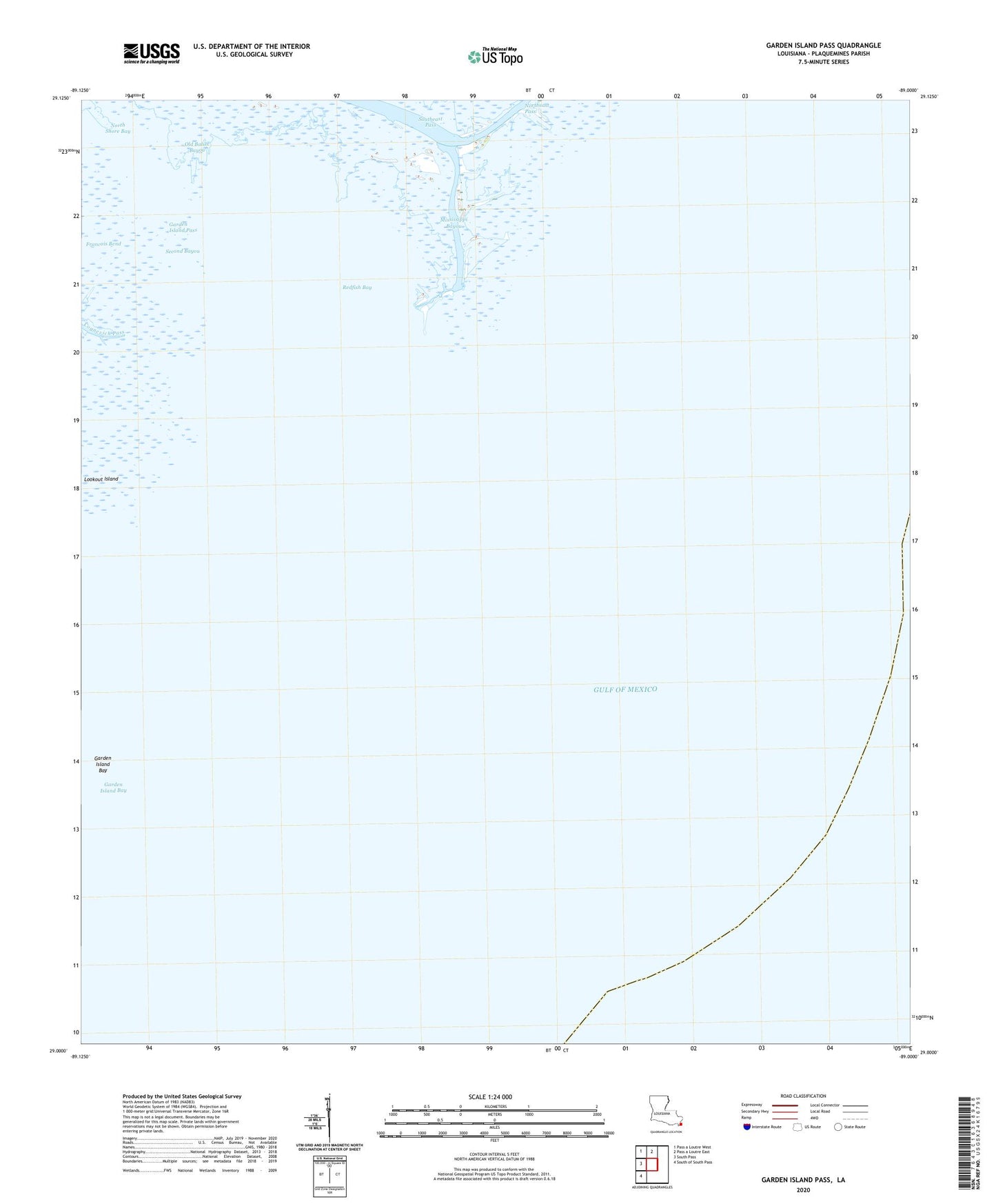
2025 topographic map quadrangle Garden Island Pass in the state of Louisiana. Scale: 1:24000. Based on the newly updated USGS 7.5' US Topo map series, this map is in the following counties: Plaquemines. The map contains contour data, water features, and other items you are used to seeing on USGS maps, but also has updated roads and other features. This is the next generation of topographic maps. Printed on high-quality waterproof paper with UV fade-resistant inks.
Quads adjacent to this one:
West: South Pass
Northwest: Pass a Loutre West
North: Pass a Loutre East
Southwest: South of South Pass
This map covers the same area as the classic USGS quad with code o29089a1.
Contains the following named places: Balize, Bayou Ronquille, Block 6 Oil Field, Buttermilk Channel, Garden Island Bay, Garden Island Pass, Micale Bayou, Mississippi Bayou, North Shore Bay, Old Balize Bayou, Old Spanish Magazine, Redfish Bay, Redfish Bayou, Second Bayou, Southeast Pass Oil Field