MyTopo
Rollover Lake Louisiana US Topo Map
Couldn't load pickup availability
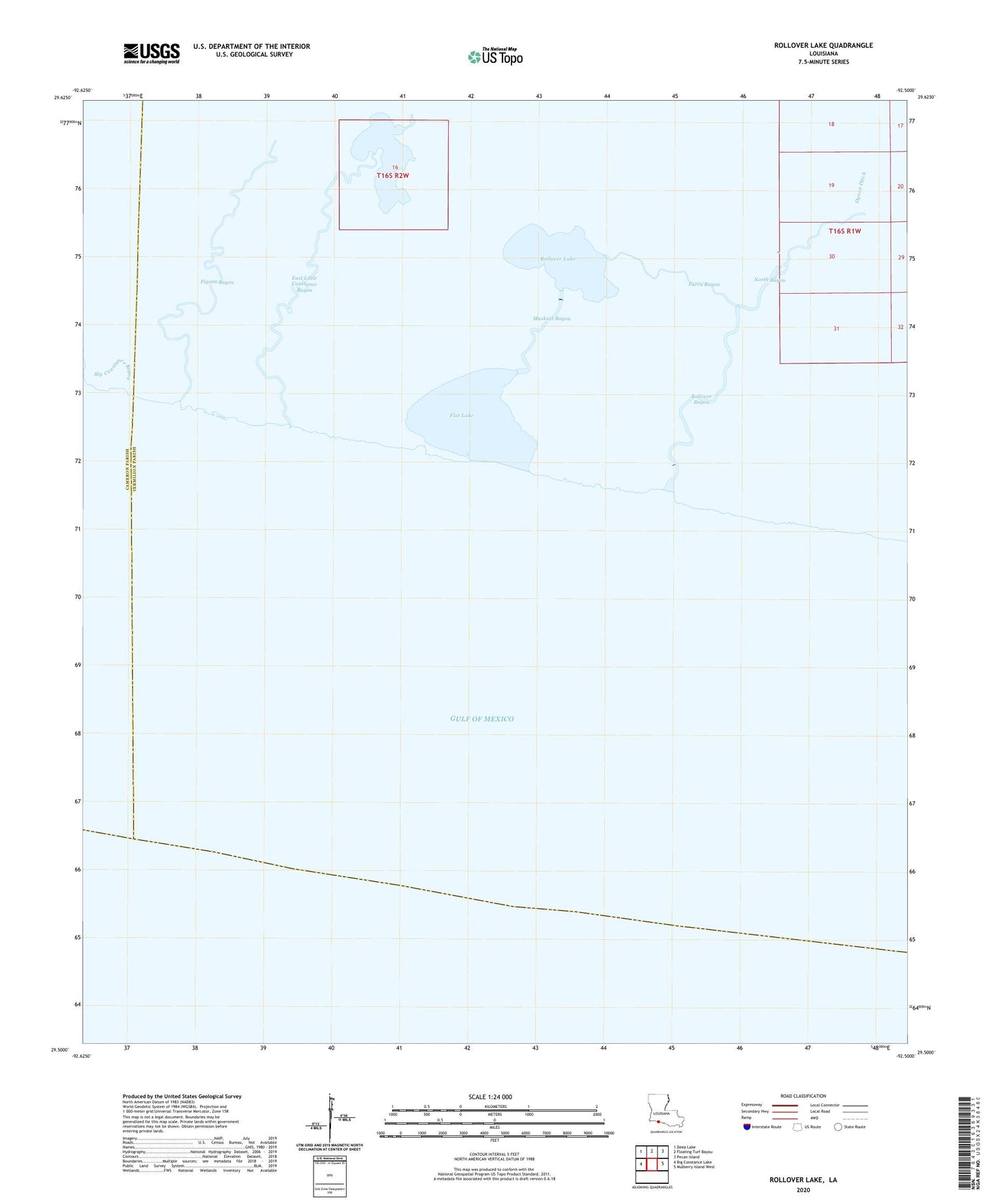
2020 topographic map quadrangle Rollover Lake in the state of Louisiana. Scale: 1:24000. Based on the newly updated USGS 7.5' US Topo map series, this map is in the following counties: Vermilion, Cameron. The map contains contour data, water features, and other items you are used to seeing on USGS maps, but also has updated roads and other features. This is the next generation of topographic maps. Printed on high-quality waterproof paper with UV fade-resistant inks.
Quads adjacent to this one:
West: Big Constance Lake
Northwest: Deep Lake
North: Floating Turf Bayou
Northeast: Pecan Island
East: Mulberry Island West
Contains the following named places: Big Constance Bayou, Dyson Ditch, East Constance Bayou, East Constance Lake, East Little Constance Bayou, Flat Lake, Muskrat Bayou, North Bayou, Parra Bayou, Pigeon Bayou, Rollover Bayou, Rollover Lake