MyTopo
Pecan Island Louisiana US Topo Map
Couldn't load pickup availability
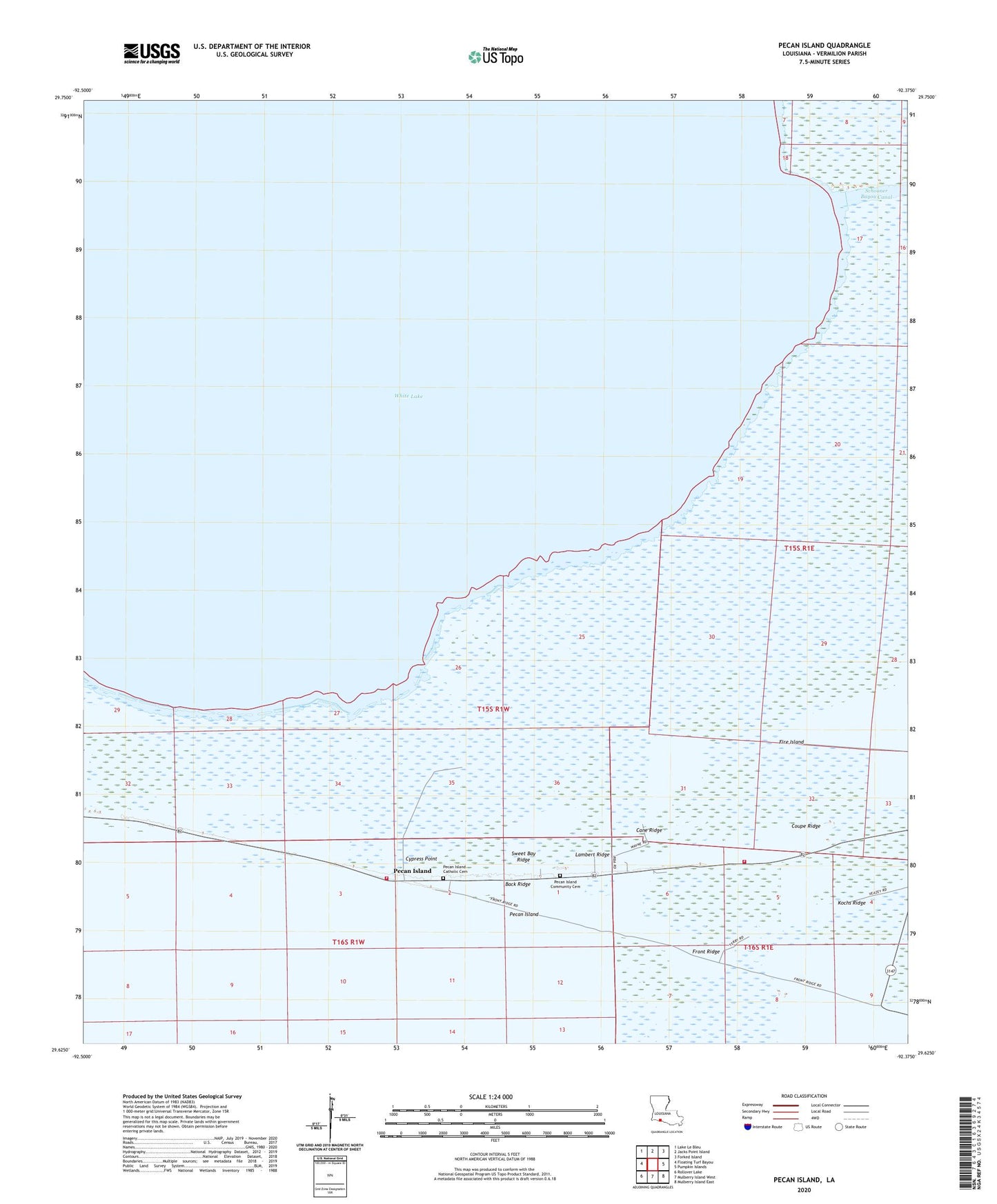
2024 topographic map quadrangle Pecan Island in the state of Louisiana. Scale: 1:24000. Based on the newly updated USGS 7.5' US Topo map series, this map is in the following counties: Vermilion. The map contains contour data, water features, and other items you are used to seeing on USGS maps, but also has updated roads and other features. This is the next generation of topographic maps. Printed on high-quality waterproof paper with UV fade-resistant inks.
Quads adjacent to this one:
West: Floating Turf Bayou
Northwest: Lake Le Bleu
North: Jacks Point Island
Northeast: Forked Island
East: Pumpkin Islands
Southeast: Mulberry Island East
South: Mulberry Island West
Southwest: Rollover Lake
This map covers the same area as the classic USGS quad with code o29092f4.
Contains the following named places: Back Ridge, Cane Ridge, Coupe Ridge, Cypress Point, Fire Island, Lac Blanc Oil and Gas Field, Lambert Ridge, Parish Governing Authority District 13, Pecan Island, Pecan Island Fire Department, Pecan Island High School, Pecan Island Volunteer Fire Department, Sacred Heart Church, Sweet Bay Ridge