MyTopo
Three Bayou Bay Louisiana US Topo Map
Couldn't load pickup availability
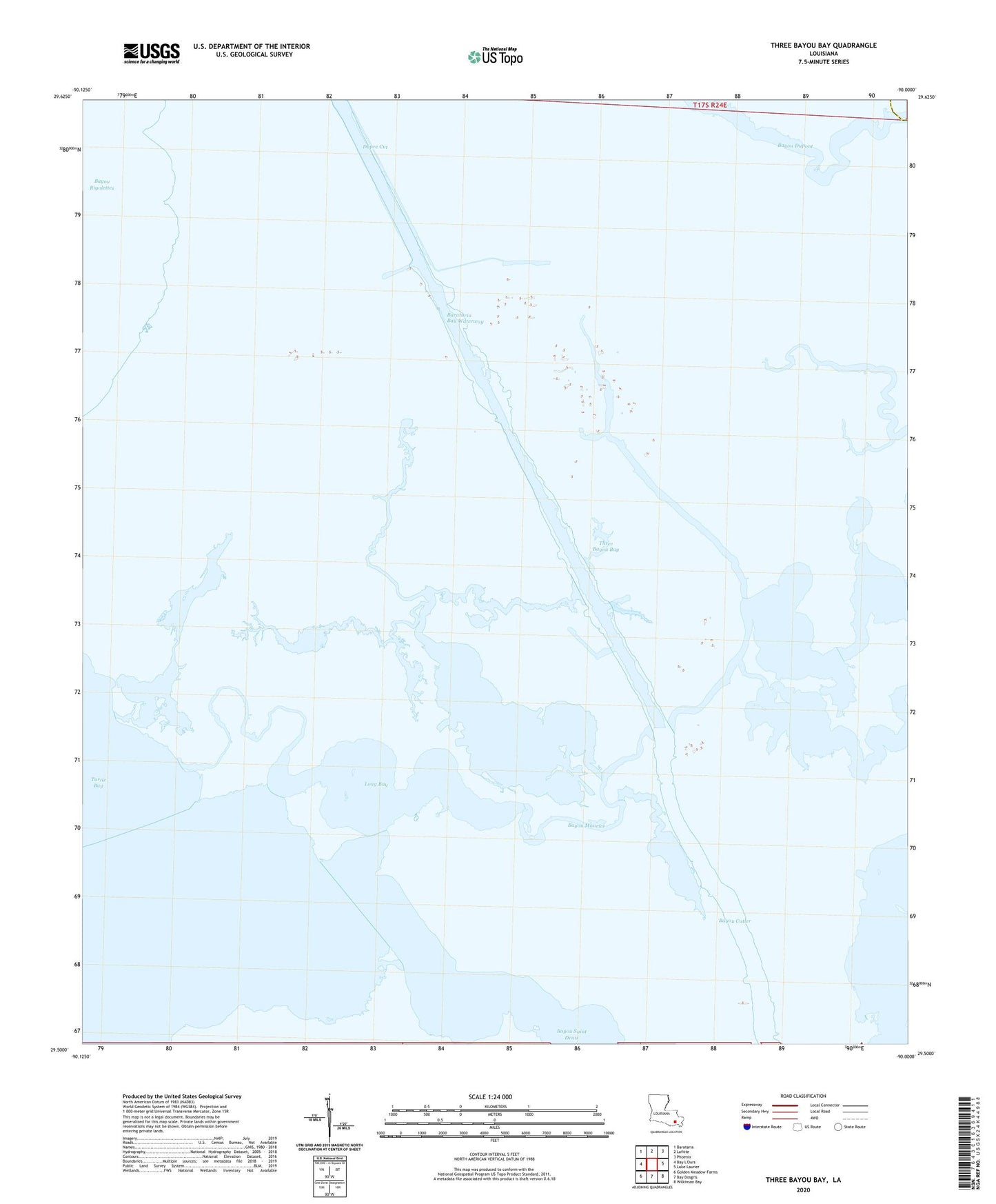
2020 topographic map quadrangle Three Bayou Bay in the state of Louisiana. Scale: 1:24000. Based on the newly updated USGS 7.5' US Topo map series, this map is in the following counties: Jefferson, Plaquemines. The map contains contour data, water features, and other items you are used to seeing on USGS maps, but also has updated roads and other features. This is the next generation of topographic maps. Printed on high-quality waterproof paper with UV fade-resistant inks.
Quads adjacent to this one:
Northwest: Barataria
North: Lafitte
Northeast: Phoenix
East: Lake Laurier
Southeast: Wilkinson Bay
South: Bay Dosgris
Southwest: Golden Meadow Farms
Contains the following named places: Bayou Cutler, Bayou Maurice, Bayou Saint Denis, Dupre Cut, Goelette Bay, Lafitte Oil and Gas Field, Long Bay, Parish Governing Authority District 1, Spoonbill Bay, Three Bayou Bay, Three Bayou Bay Oil and Gas Field