MyTopo
Golden Meadow Farms Louisiana US Topo Map
Couldn't load pickup availability
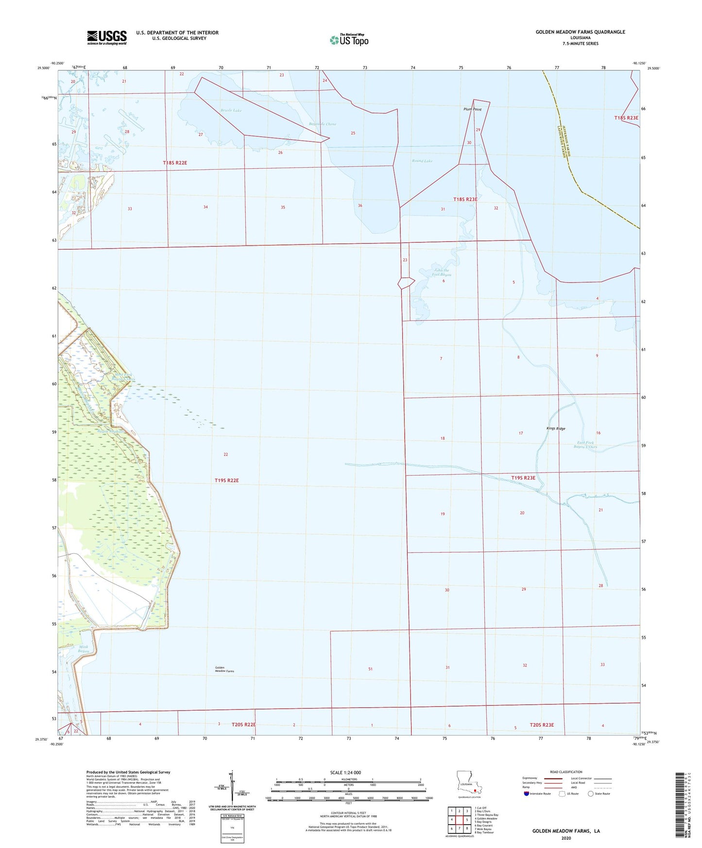
2024 topographic map quadrangle Golden Meadow Farms in the state of Louisiana. Scale: 1:24000. Based on the newly updated USGS 7.5' US Topo map series, this map is in the following counties: Lafourche, Jefferson. The map contains contour data, water features, and other items you are used to seeing on USGS maps, but also has updated roads and other features. This is the next generation of topographic maps. Printed on high-quality waterproof paper with UV fade-resistant inks.
Quads adjacent to this one:
West: Golden Meadow
Northwest: Cut Off
Northeast: Three Bayou Bay
East: Bay Dosgris
Southeast: Bay Tambour
South: Mink Bayou
Southwest: Bay Courant
This map covers the same area as the classic USGS quad with code o29090d2.
Contains the following named places: Bayou de Chene, Brusle Lake, East Fork Bayou L'Ours, Golden Meadow Farms, John the Fool Bayou, Kings Canal, Kings Ridge, Lake Enfermer Oil and Gas Field, Plum Point, Round Lake, Yankee Canal