MyTopo
South Sandisfield Massachusetts US Topo Map
Couldn't load pickup availability
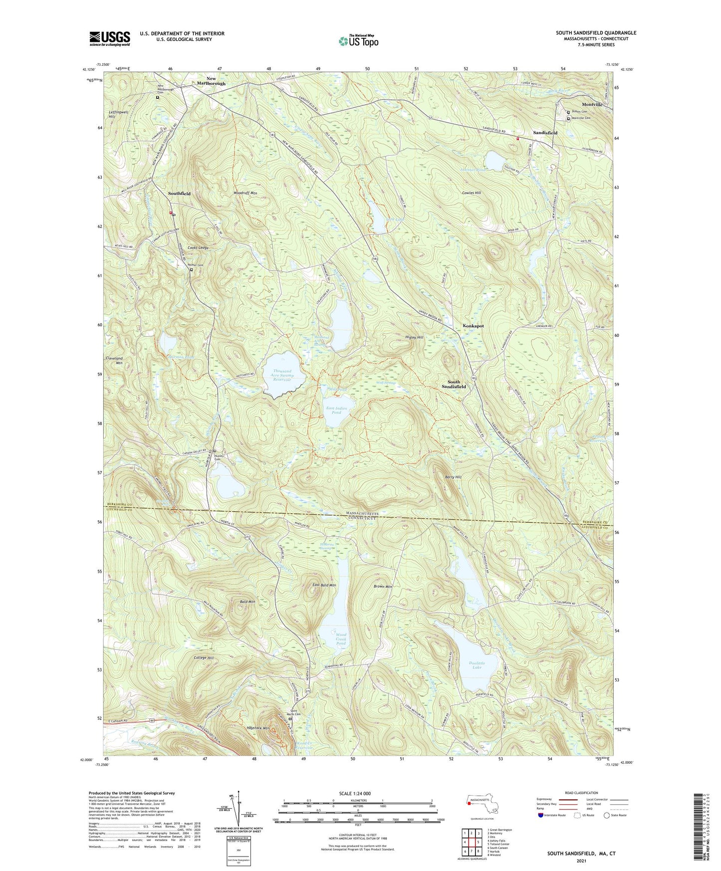
2021 topographic map quadrangle South Sandisfield in the states of Massachusetts, Connecticut. Scale: 1:24000. Based on the newly updated USGS 7.5' US Topo map series, this map is in the following counties: Berkshire, Litchfield. The map contains contour data, water features, and other items you are used to seeing on USGS maps, but also has updated roads and other features. This is the next generation of topographic maps. Printed on high-quality waterproof paper with UV fade-resistant inks.
Quads adjacent to this one:
West: Ashley Falls
Northwest: Great Barrington
North: Monterey
Northeast: Otis
East: Tolland Center
Southeast: Winsted
South: Norfolk
Southwest: South Canaan
Contains the following named places: Atwater Pond, Atwater Pond Dam, Bald Mountain, Barry Hill, Benedict Pond, Benedict Pond Dam, Brown Mountain, Campbell Falls, Campbell Falls State Park, Cherry Brook, Cleveland Mountain, College Hill, Cooks Ledge, Cookson Dam, Cookson State Forest, Cowles Hill, Doolittle Lake, Doolittle Lake Dam, Dubois Cemetery, East Bald Mountain, East Indies Pond, Ginger Creek, Harmon Pond, Haystack Mountain, Haystack Mountain State Park, Higley Hill, Holleran Swamp, Huxley Cemetery, Konkapot, Leffingwell Hill, Mill Pond, Montville, Montville Cemetery, New Marlborough, New Marlborough Cemetery, New Marlborough Fire and Rescue, North Brook, North Green, North Norfolk Chapel, Palmer Cemetery, Riiska Brook, Riiska Brook Dam, Roaring Brook, Saint Marys Cemetery, Sandisfield, Sandisfield Fire Department Station 2, Sandisfield State Forest, South Sandisfield, Southfield, Southfield Post Office, Thousand Acre Site Number 1 Dam, Thousand Acre Swamp, Thousand Acre Swamp Reservoir, Town of New Marlborough, United Church of New Marlboro, West Norfolk, Windemere Lake Dam, Windemere Lake Reservoir, Wolf Swamp, Wood Creek Pond, Woodcreek Dike, Woodcreek Pond Dam, Woodruff Mountain, YMCA Camp, York Lake, York Lake Dam, ZIP Code: 01259