MyTopo
Monterey Massachusetts US Topo Map
Couldn't load pickup availability
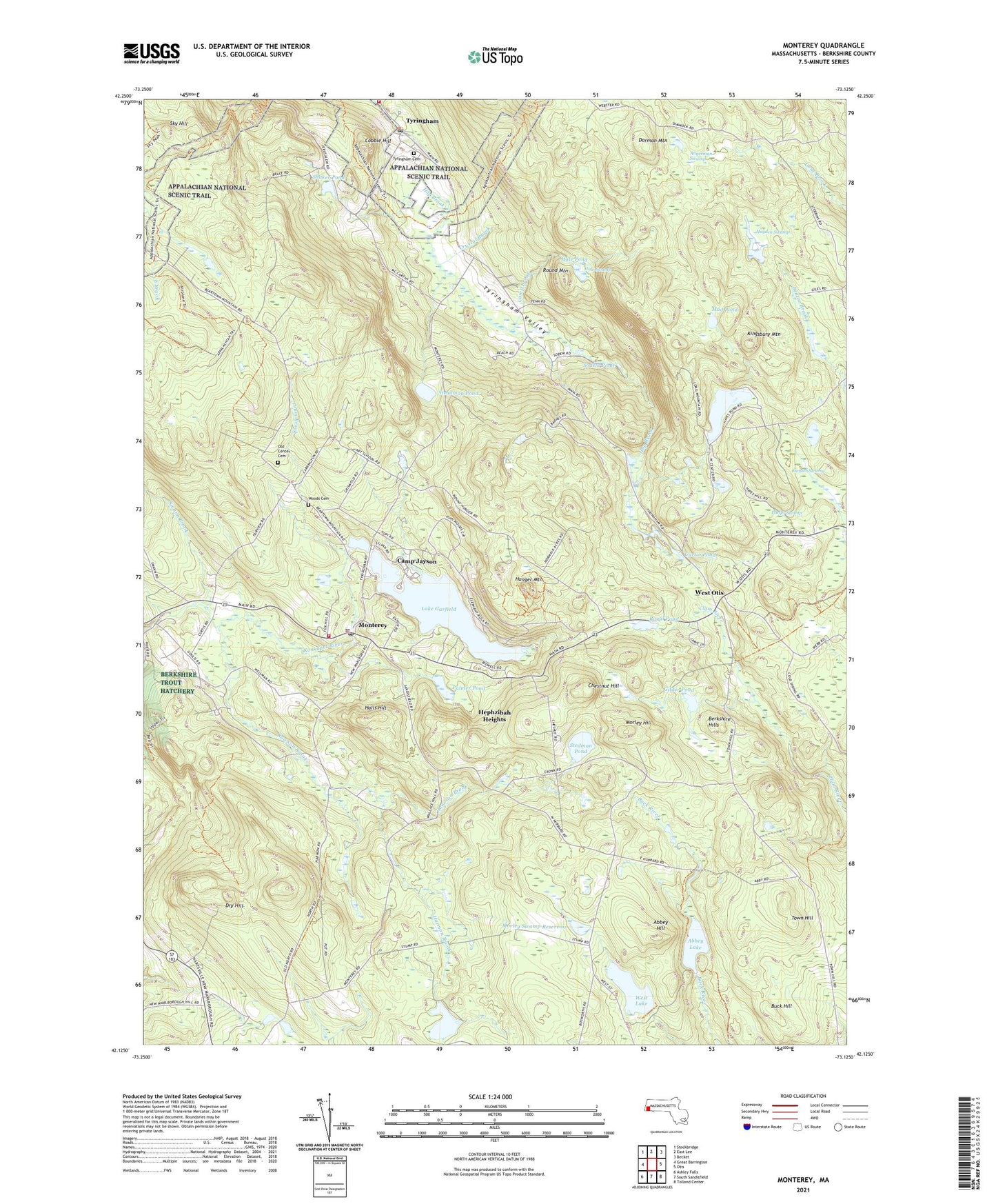
2024 topographic map quadrangle Monterey in the state of Massachusetts. Scale: 1:24000. Based on the newly updated USGS 7.5' US Topo map series, this map is in the following counties: Berkshire. The map contains contour data, water features, and other items you are used to seeing on USGS maps, but also has updated roads and other features. This is the next generation of topographic maps. Printed on high-quality waterproof paper with UV fade-resistant inks.
Quads adjacent to this one:
West: Great Barrington
Northwest: Stockbridge
North: East Lee
Northeast: Becket
East: Otis
Southeast: Tolland Center
South: South Sandisfield
Southwest: Ashley Falls
Contains the following named places: Abbey Hill, Abbey Lake, Abbey Lake Dam, Abbey Swamp, Angerman Swamp, Berkshire Hills, Berkshire Trout Hatchery, Buck Hill, Camp Brook, Camp Glenmere, Camp Jayson, Camp Meadowlark, Chestnut Hill, Cobble Hill, Crystal Brook, Curtin Pond, Dorman Mountain, Dry Hill, Geisler Swamp, Gilder Pond, Gilder Pond Dam, Hale Pond, Hale Swamp, Halls Hill, Harmon Brook, Harnett Pond, Harnett Pond Dam, Hayden Swamp, Hayes Pond, Hayes Pond Dam, Hephzibah Heights, Hunger Mountain, Jayson Camp, Kingsbury Mountain, Kolburne School, Lake Garfield, Lake Garfield Dam, Loom Brook, Marlboro Academy, Monterey, Monterey Fire Company, Monterey Police Department, Monterey Post Office, Monterey Town Hall, Monterey United Church of Christ, Morley Hill, Morley Swamp Dam, Morley Swamp Reservoir, Mud Pond, New England Reswick Church, Old Center Cemetery, Our Lady of the Hills Church, Palmer Pond, Phelps Swamp, Rawson Brook, Round Mountain, Royal Pond, Royal Pond Dam, Shaker Pond, Shaker Pond Dam, Sky Hill, Sodem Pond, Steadman Pond, Steadman Pond Dam, Stedman Pond, Stedman Pond Dam, Swann Brook, Town Hill, Town of Monterey, Town of Tyringham, Tyringham, Tyringham Fire Department, Tyringham Police Department, Tyringham Post Office, Tyringham Valley, West Lake, West Lake Dam, West Otis, Woods Cemetery, ZIP Codes: 01245, 01264


