MyTopo
California Michigan US Topo Map
Couldn't load pickup availability
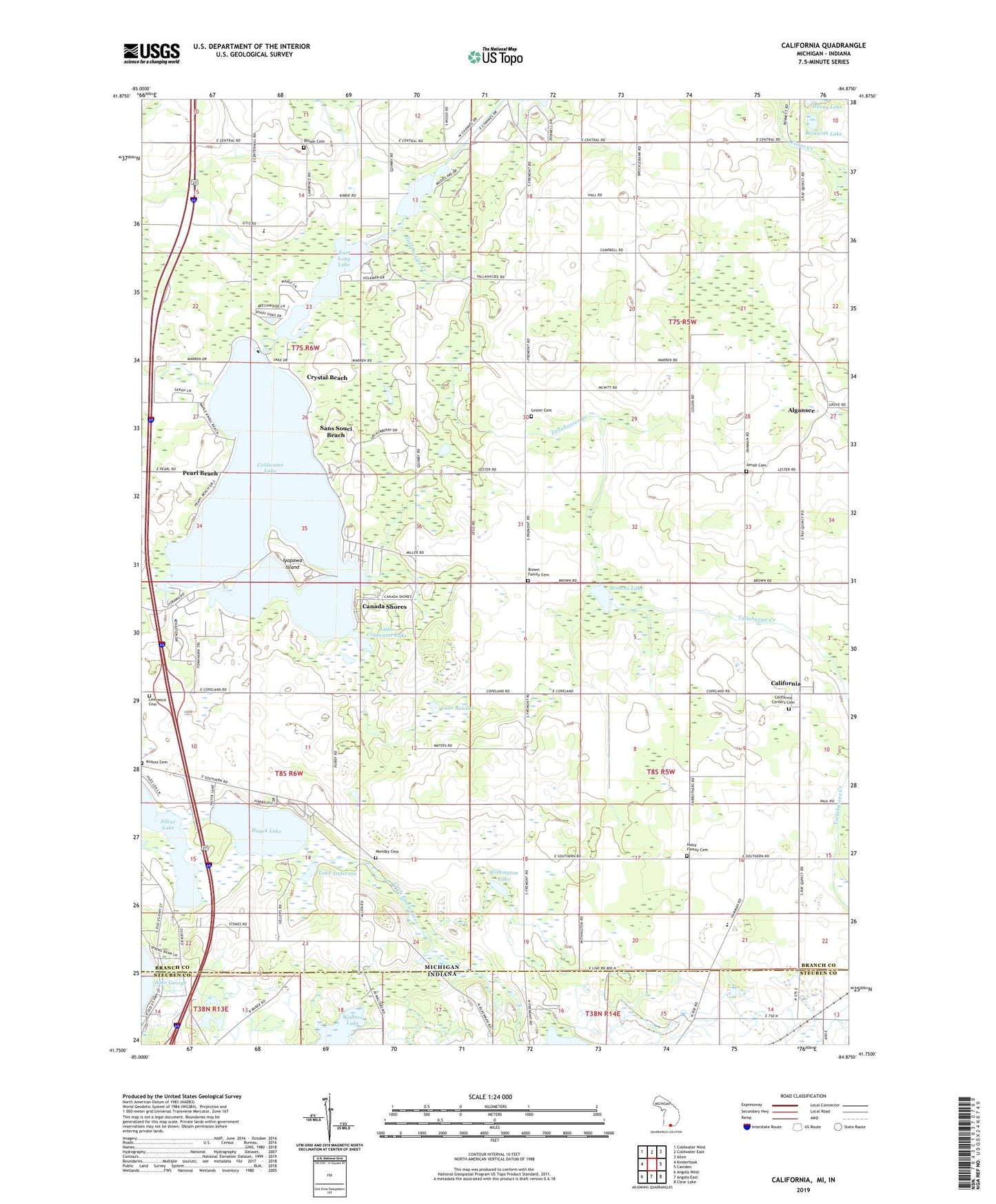
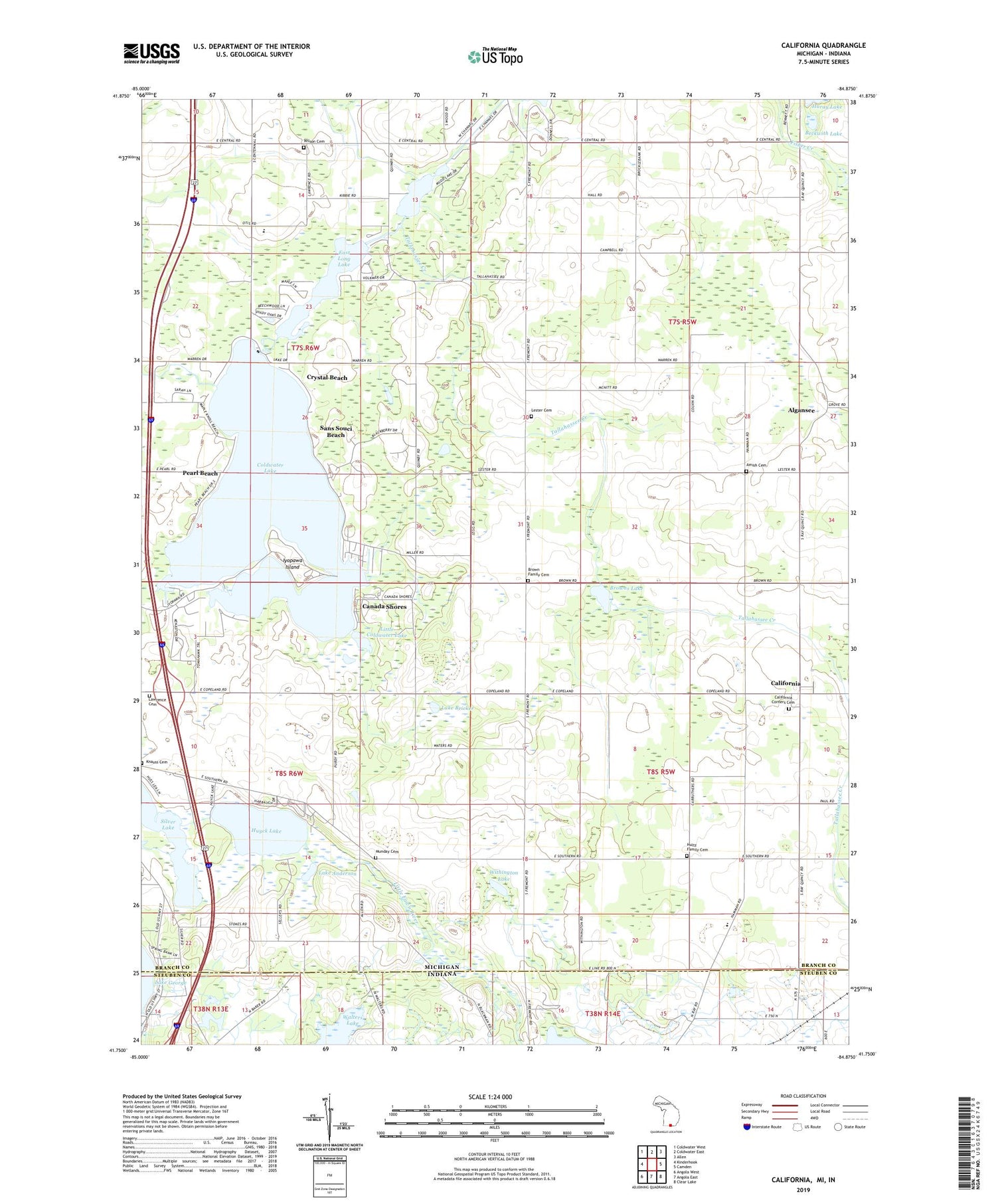
2019 topographic map quadrangle California in the state of Michigan. Scale: 1:24000. Based on the newly updated USGS 7.5' US Topo map series, this map is in the following counties: Branch, Steuben. The map contains contour data, water features, and other items you are used to seeing on USGS maps, but also has updated roads and other features. This is the next generation of topographic maps. Printed on high-quality waterproof paper with UV fade-resistant inks.
Quads adjacent to this one:
West: Kinderhook
Northwest: Coldwater West
North: Coldwater East
Northeast: Allen
East: Camden
Southeast: Clear Lake
South: Angola East
Southwest: Angola West
Contains the following named places: Abundant Life Pentecostal Church, Algansee, Algansee Post Office, Amish Cemetery, Amish School, Beckwith Lake, Blackberry Patch Golf Club, Brown Family Cemetery, Browns Lake, California, California Post Office, California Township Cemetery, Canada Shores, Coldwater Lake, Coldwater Lake State Park, Coldwater Welcome Center, Crystal Beach, East Long Lake, First Free Will Baptist Church, Hultz Family Cemetery, Huyck Lake, Iyopawa Island, Iyopawa Island Golf Course, Lake Anderson, Lake Bricker, Lakeland School, Lester Cemetery, Lester Post Office, Little Coldwater Lake, Loon Lake, Michiana Calvary Fellowship Church, Munday Cemetery, Ogden Community Bible Church, Pearl Beach, Pine Ridge Bible Church, Sans Souci Beach, Silver Lake, Stokes Chapel, Tallahassee Creek, Township of Algansee, Township of California, Waterhouse Cemetery, Wilson Cemetery, Withington Lake, Wright Lake