MyTopo
Angola West Indiana US Topo Map
Couldn't load pickup availability
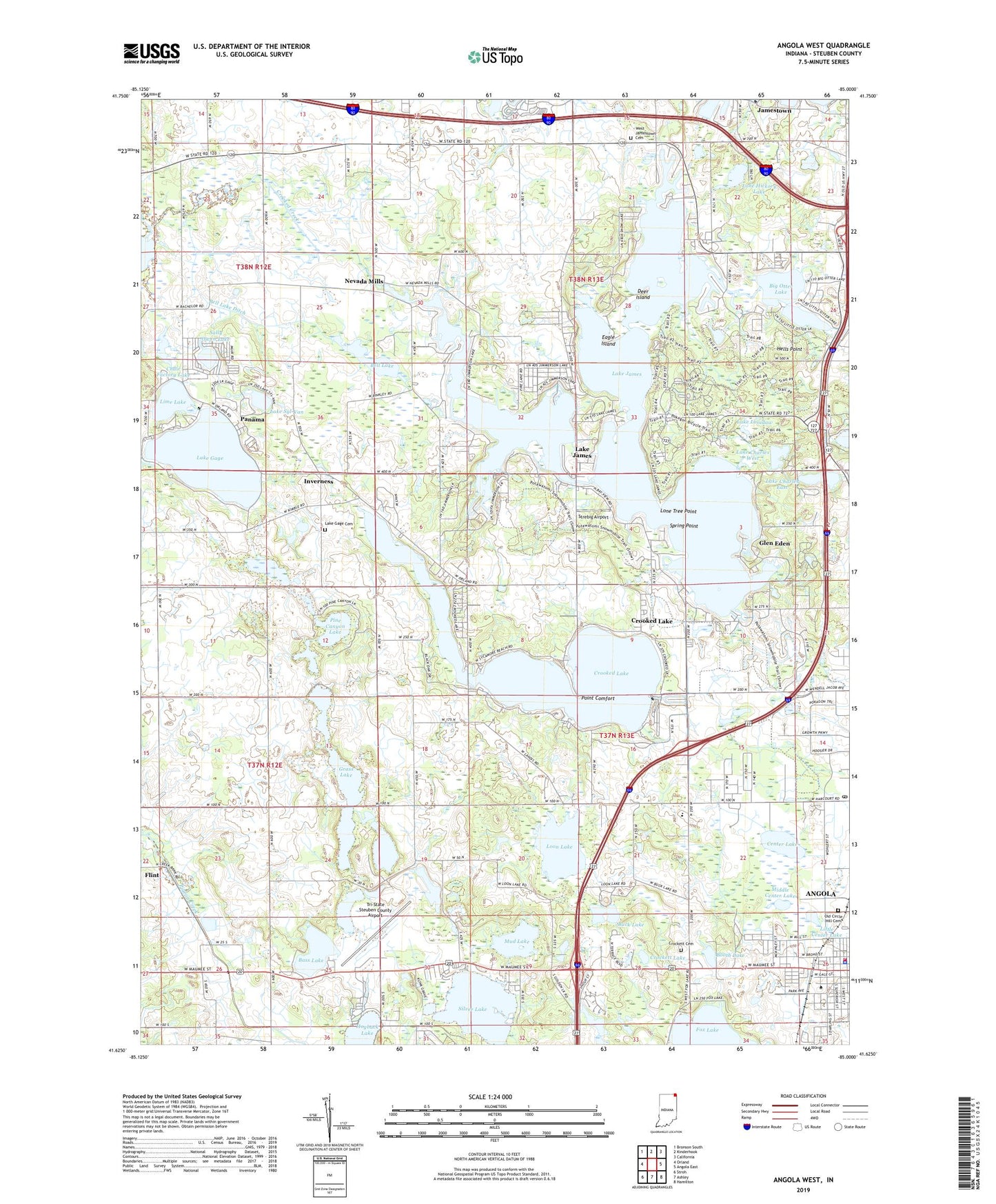
2022 topographic map quadrangle Angola West in the state of Indiana. Scale: 1:24000. Based on the newly updated USGS 7.5' US Topo map series, this map is in the following counties: Steuben. The map contains contour data, water features, and other items you are used to seeing on USGS maps, but also has updated roads and other features. This is the next generation of topographic maps. Printed on high-quality waterproof paper with UV fade-resistant inks.
Quads adjacent to this one:
West: Orland
Northwest: Bronson South
North: Kinderhook
Northeast: California
East: Angola East
Southeast: Hamilton
South: Ashley
Southwest: Stroh
This map covers the same area as the classic USGS quad with code o41085f1.
Contains the following named places: Angola Fire Department, Angola Police Department, Angola Post Office, Bachelor Farms, Bass Lake, Bell Lake, Bell Lake Ditch, Big Otter Lake, Booth Lake, Buck Lake, Camp Indogan, Center Lake, Chair Factory Lake, Cheeseboro Lake, City of Angola, Crockett Cemetery, Crockett Lake, Crooked Lake, Crooked Lake Post Office, Deer Island, Eagle Island, First Basin, First Congregational United Church of Christ, Follette Creek, Fox Lake, Glen Eden, Grace Baptist Academy, Grace Baptist Church, Grass Lake, Hells Point, Howard Lake, Inverness, Jamestown, Jimmerson Lake, Jimmerson Lake Dam, Lake Charles East, Lake Charles West, Lake Gage, Lake Gage Cemetery, Lake Gage Congregational Church, Lake James, Lake James Golf Course, Lake James Lutheran Church, Lake James Post Office, Lake Lonidaw, Lake Syl-Van, Lime Lake, Lions Park, Little Center Lake, Little Otter Lake, Lone Hickory Lake, Lone Tree Point, Loon Lake, Lower Basin, Middle Basin, Middle Center Lake, Mud Lake, Nevada Mills, Oak Hill Camp, Old Circle Hill Cemetery, Panama, Pine Canyon Lake, Point Comfort, Pokagon State Park, Potawatomi Inn, Presbyterian Chapel of the Lakes, Saint Anthony Catholic Church, Sally Owen Lake, Second Basin, Silver Lake, Silver Lake Chapel, Snow Lake, Spring Point, State Line Sand and Gravel Pit, Steuben County, Steuben County Park, Steuben County Rest Home, Strebig Airport, The Church of God, Third Basin, Township of Jamestown, Township of Pleasant, Tri-State Steuben County Airport, Tri-State University, Upper Basin, Valley Outlet Center, Viking Gravel Pit, West Jamestown Cemetery, Yogi Bear Jellystone Park Campgrounds, ZIP Code: 46703


