MyTopo
Oskar Michigan US Topo Map
Couldn't load pickup availability
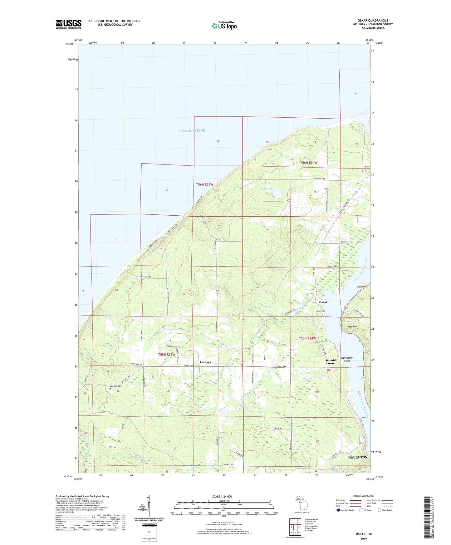
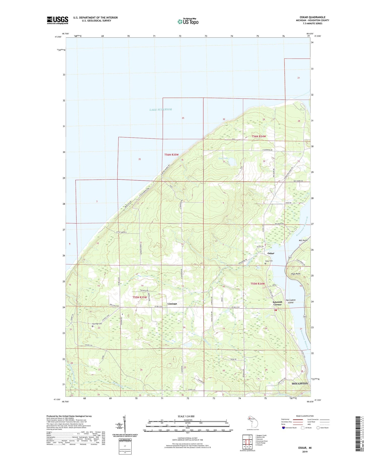
2019 topographic map quadrangle Oskar in the state of Michigan. Scale: 1:24000. Based on the newly updated USGS 7.5' US Topo map series, this map is in the following counties: Houghton. The map contains contour data, water features, and other items you are used to seeing on USGS maps, but also has updated roads and other features. This is the next generation of topographic maps. Printed on high-quality waterproof paper with UV fade-resistant inks.
Quads adjacent to this one:
West: Beacon Hill
Northeast: Muggun Creek
East: Hancock
Southeast: Chassell
South: South Range
Southwest: Graveraet River
Contains the following named places: Harrington Island, High Point, Keranen Creek, Liminga, Liminga Post Office, Mill Point, Onnela Post Office, Onnela School, Oskar, Oskar Cemetery, Oskar Post Office, Redridge Cemetery, Schlot Creek, Schmidt Corner, Spring Creek, Stanton Township Volunteer Fire Department Precinct 1, Tear Lake