MyTopo
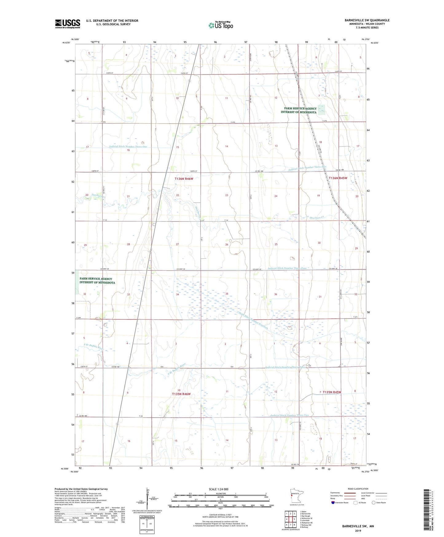
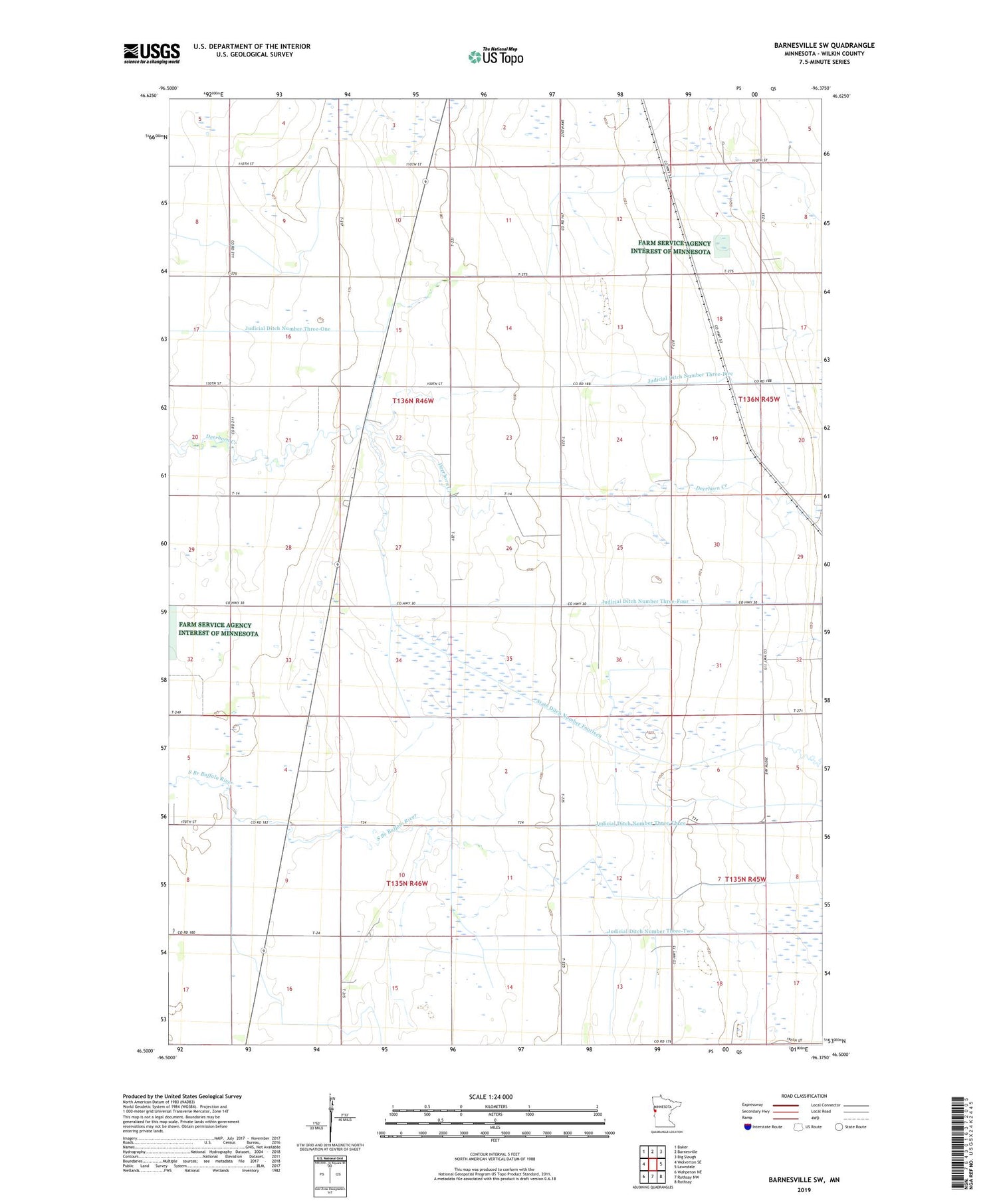
Barnesville SW Minnesota US Topo Map
Couldn't load pickup availability
2019 topographic map quadrangle Barnesville SW in the state of Minnesota. Scale: 1:24000. Based on the newly updated USGS 7.5' US Topo map series, this map is in the following counties: Wilkin. The map contains contour data, water features, and other items you are used to seeing on USGS maps, but also has updated roads and other features. This is the next generation of topographic maps. Printed on high-quality waterproof paper with UV fade-resistant inks.
Quads adjacent to this one:
West: Wolverton SE
Northwest: Baker
North: Barnesville
Northeast: Big Slough
East: Lawndale
Southeast: Rothsay
South: Rothsay NW
Southwest: Wahpeton NE
Contains the following named places: Atherton State Wildlife Management Area, Braton School, County Ditch Number Fourteen, Judicial Ditch Number Three-Five, Judicial Ditch Number Three-Four, Judicial Ditch Number Three-One, Judicial Ditch Number Three-Three, Judicial Ditch Number Three-Two, State Ditch Number Fourteen, Township of Atherton, Township of Manston