MyTopo
Boulder Lake Reservoir NE Minnesota US Topo Map
Couldn't load pickup availability
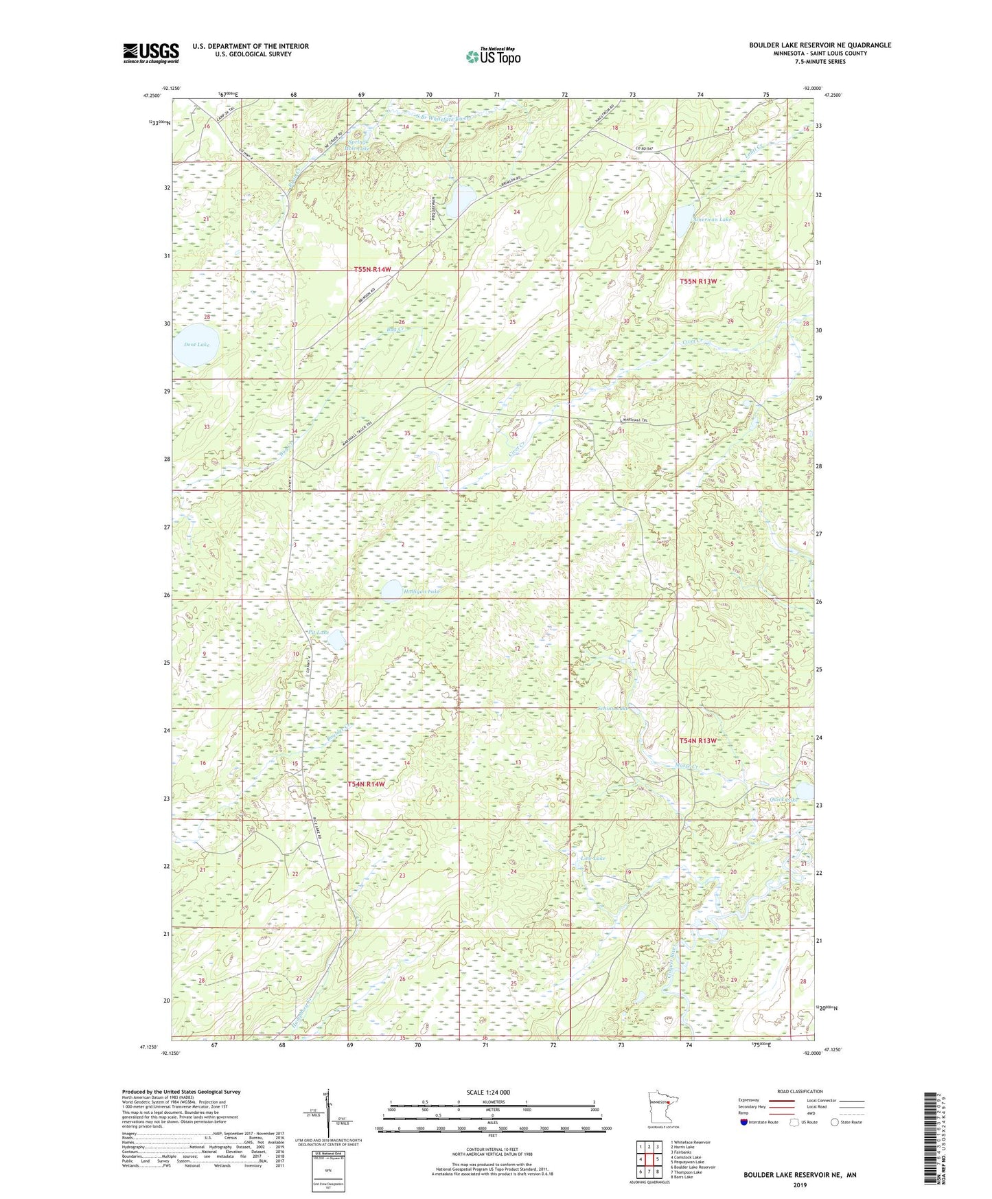
2019 topographic map quadrangle Boulder Lake Reservoir NE in the state of Minnesota. Scale: 1:24000. Based on the newly updated USGS 7.5' US Topo map series, this map is in the following counties: St. Louis. The map contains contour data, water features, and other items you are used to seeing on USGS maps, but also has updated roads and other features. This is the next generation of topographic maps. Printed on high-quality waterproof paper with UV fade-resistant inks.
Quads adjacent to this one:
West: Comstock Lake
Northwest: Whiteface Reservoir
North: Harris Lake
Northeast: Fairbanks
East: Pequaywan Lake
Southeast: Barrs Lake
South: Thompson Lake
Southwest: Boulder Lake Reservoir
Contains the following named places: American Lake, Cloquet Valley Ranger Station, Cloquet Valley State Forest, Dent Lake, Hulligan Lake, Line Lake, Masse Creek, Pit Lake, Quick Lake, Ryan Creek, Schinn Lake, Spring Hole Lake, Sullivan Lake