MyTopo
Boulder Lake Reservoir Minnesota US Topo Map
Couldn't load pickup availability
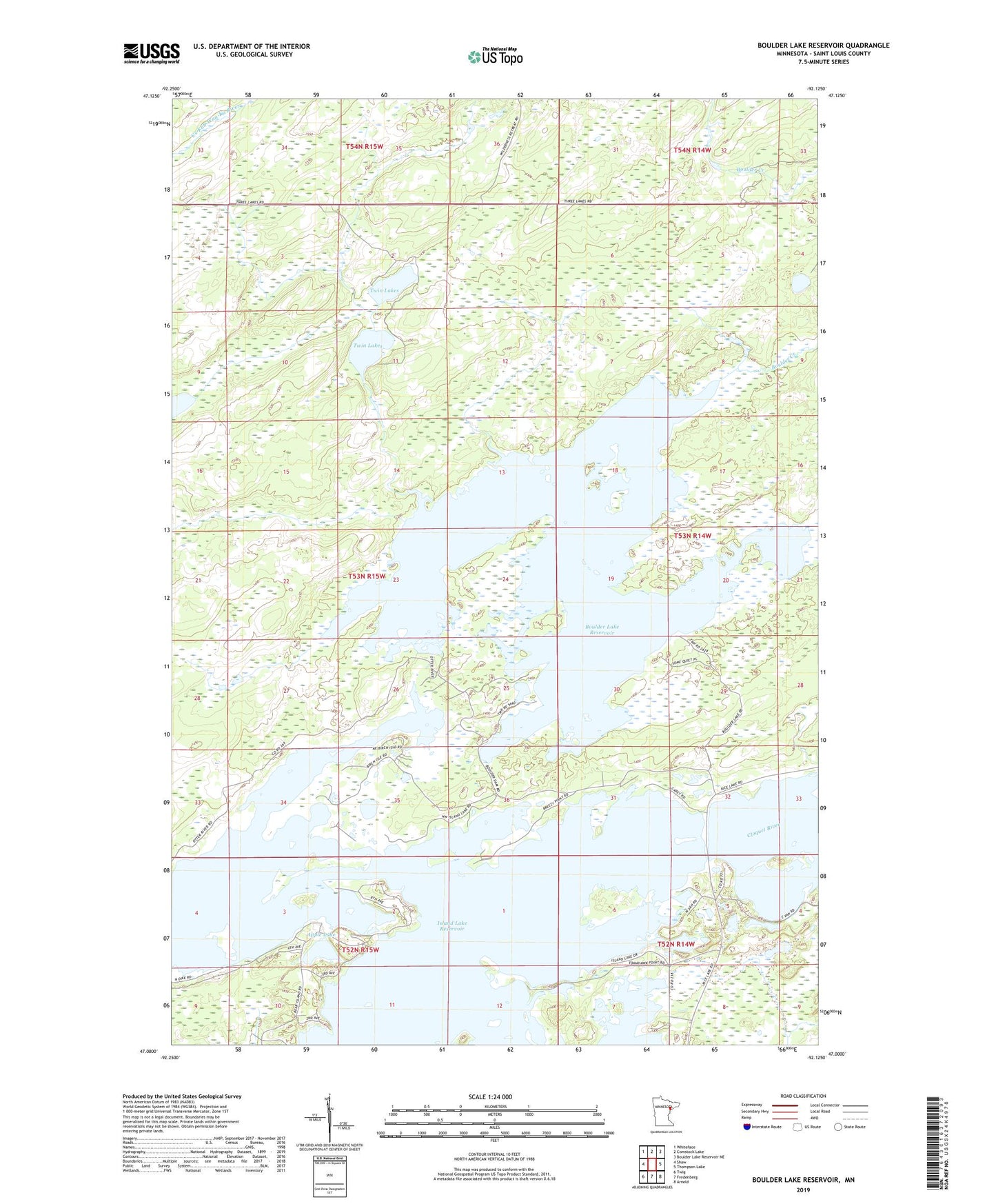
2022 topographic map quadrangle Boulder Lake Reservoir in the state of Minnesota. Scale: 1:24000. Based on the newly updated USGS 7.5' US Topo map series, this map is in the following counties: St. Louis. The map contains contour data, water features, and other items you are used to seeing on USGS maps, but also has updated roads and other features. This is the next generation of topographic maps. Printed on high-quality waterproof paper with UV fade-resistant inks.
Quads adjacent to this one:
West: Shaw
Northwest: Whiteface
North: Comstock Lake
Northeast: Boulder Lake Reservoir NE
East: Thompson Lake
Southeast: Arnold
South: Fredenberg
Southwest: Twig
This map covers the same area as the classic USGS quad with code o47092a2.
Contains the following named places: Apple Lake, Boulder Creek, Boulder Lake Dam, Boulder Lake Reservoir, Island Lake Reservoir, Nevens Lake, North Country Seaplane Base, Otter River, Twin Lakes