MyTopo
Britt Minnesota US Topo Map
Couldn't load pickup availability
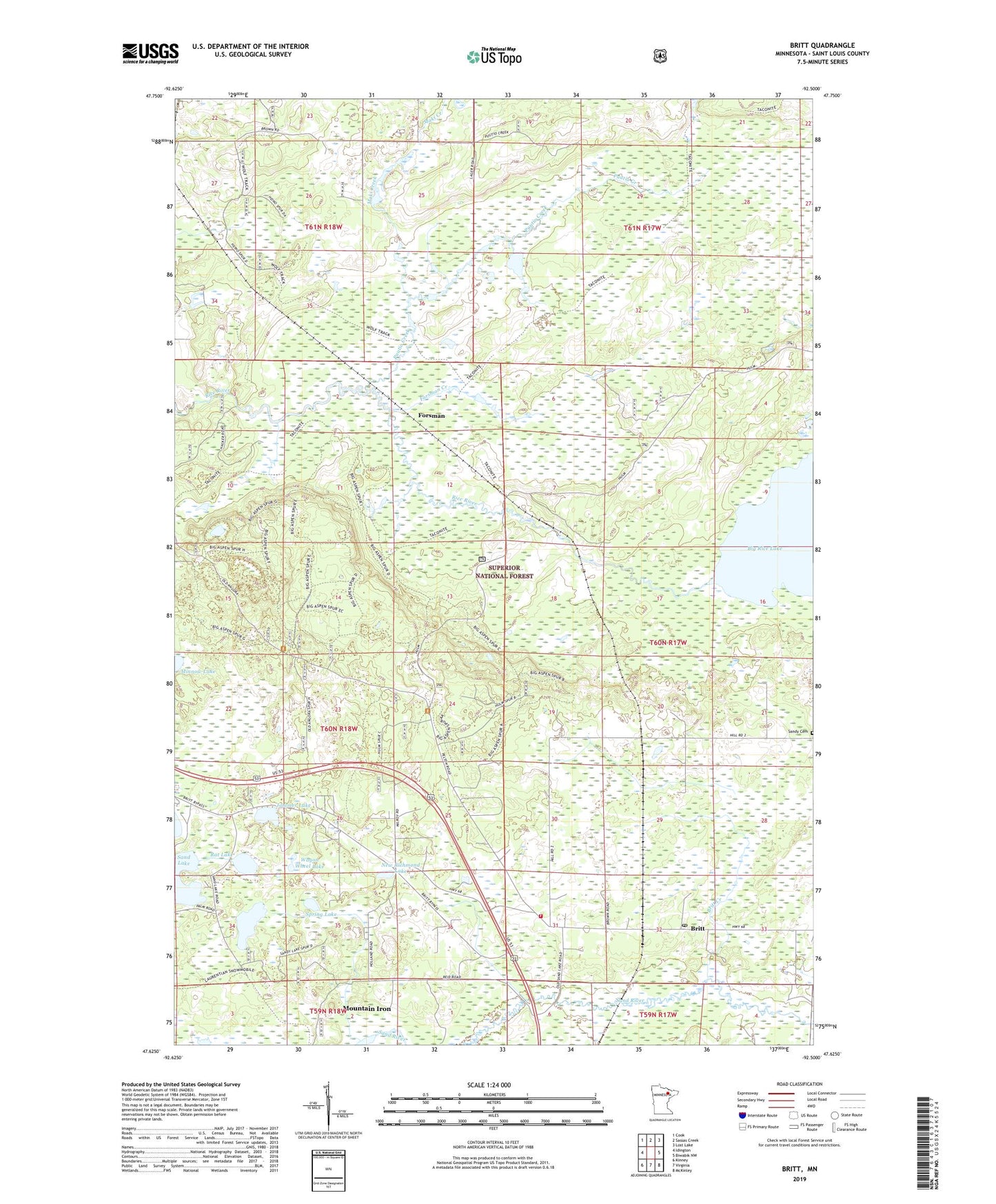
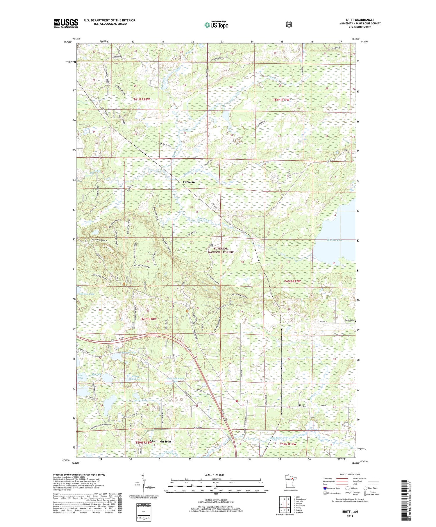
2019 topographic map quadrangle Britt in the state of Minnesota. Scale: 1:24000. Based on the newly updated USGS 7.5' US Topo map series, this map is in the following counties: St. Louis. The map contains contour data, water features, and other items you are used to seeing on USGS maps, but also has updated roads and other features. This is the next generation of topographic maps. Printed on high-quality waterproof paper with UV fade-resistant inks.
Quads adjacent to this one:
West: Idington
Northwest: Cook
North: Sassas Creek
Northeast: Lost Lake
East: Biwabik NW
Southeast: McKinley
South: Virginia
Southwest: Kinney
Contains the following named places: Britt, Britt Creek, Britt Post Office, Forsman, Forsman Creek, Jammer Lake, Little Jammer Lake, Maki Creek, Minnow Lake, Mulden Lake, New Richmond Lake, Pike Sandy Britt Regional Volunteer Fire Department Britt, Puutio Creek, Rat Lake, Sandy Cemetery, Spring Lake, Wagon Wheel Lake, Wakemup Narrows, Walberg Creek