MyTopo
Buffalo Lake Minnesota US Topo Map
Couldn't load pickup availability
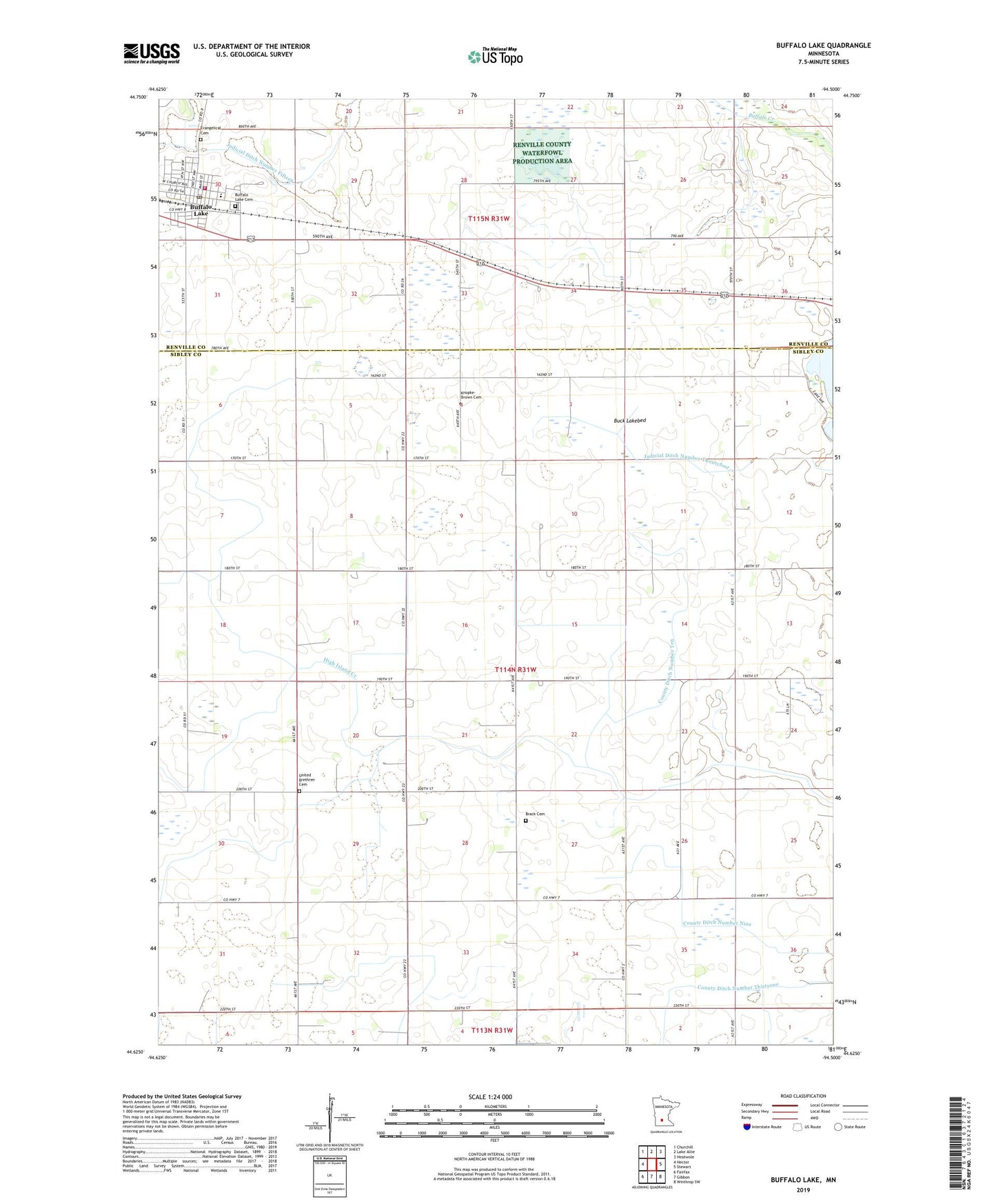
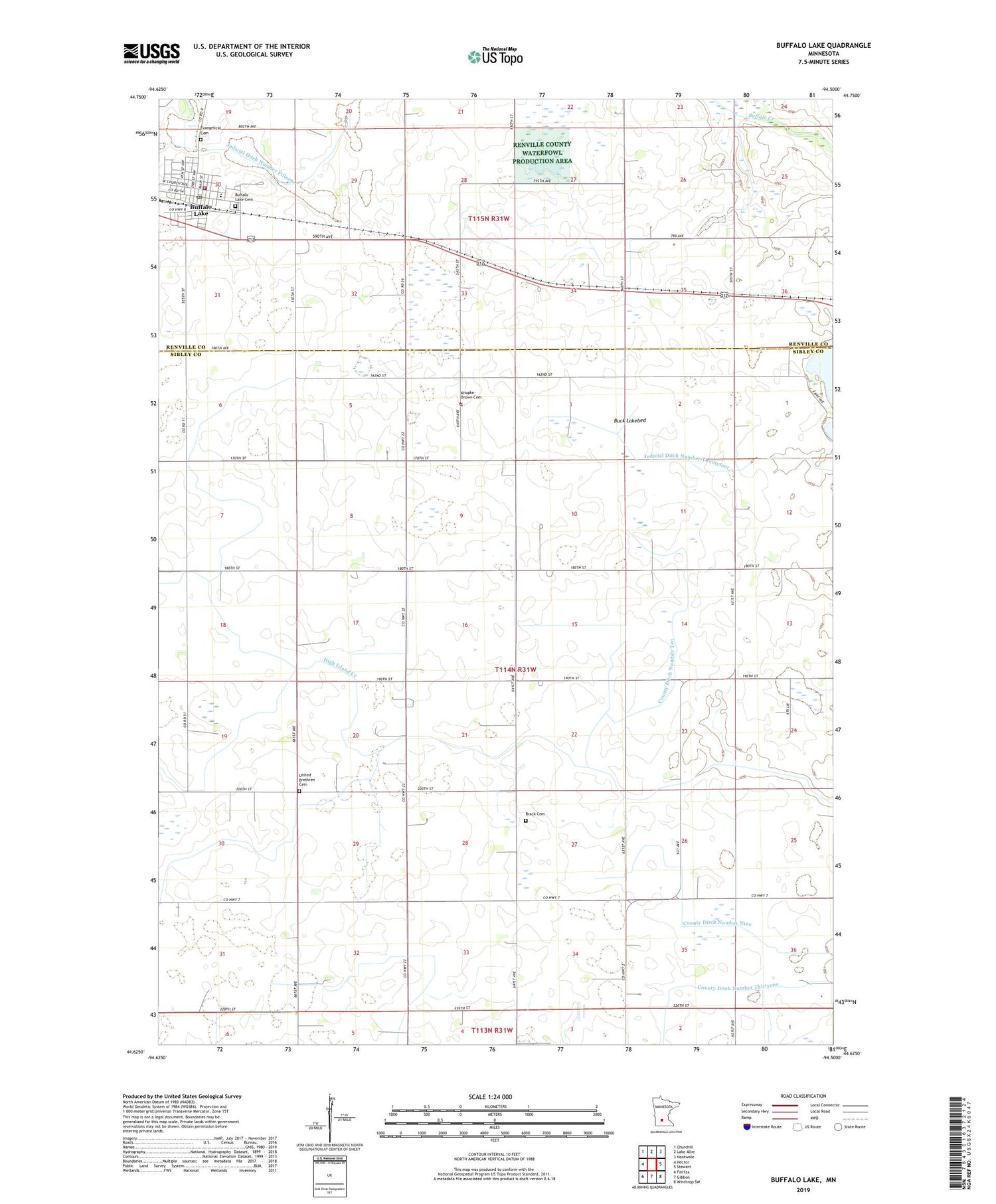
2019 topographic map quadrangle Buffalo Lake in the state of Minnesota. Scale: 1:24000. Based on the newly updated USGS 7.5' US Topo map series, this map is in the following counties: Sibley, Renville. The map contains contour data, water features, and other items you are used to seeing on USGS maps, but also has updated roads and other features. This is the next generation of topographic maps. Printed on high-quality waterproof paper with UV fade-resistant inks.
Quads adjacent to this one:
West: Hector
Northwest: Churchill
North: Lake Allie
Northeast: Heatwole
East: Stewart
Southeast: Winthrop SW
South: Gibbon
Southwest: Fairfax
Contains the following named places: Brack Cemetery, Buck Lakebed, Buffalo Lake, Buffalo Lake Ambulance, Buffalo Lake Cemetery, Buffalo Lake Fire Department, Buffalo Lake Hector Elementary School, Buffalo Lake Nursing Home, Buffalo Lake Police Department, Buffalo Lake Post Office, City of Buffalo Lake, County Ditch Number Fifteen, County Ditch Number Nine, County Ditch Number Ten, County Ditch Number Thirtyone, Evangelical Cemetery, Judicial Ditch Number Eleven, Judicial Ditch Number Twentyfour, Knopke - Brown Cemetery, Oakdale Country Club, Township of Grafton, United Brethren Cemetery, Zion United Methodist Church