MyTopo
Erie Minnesota US Topo Map
Couldn't load pickup availability
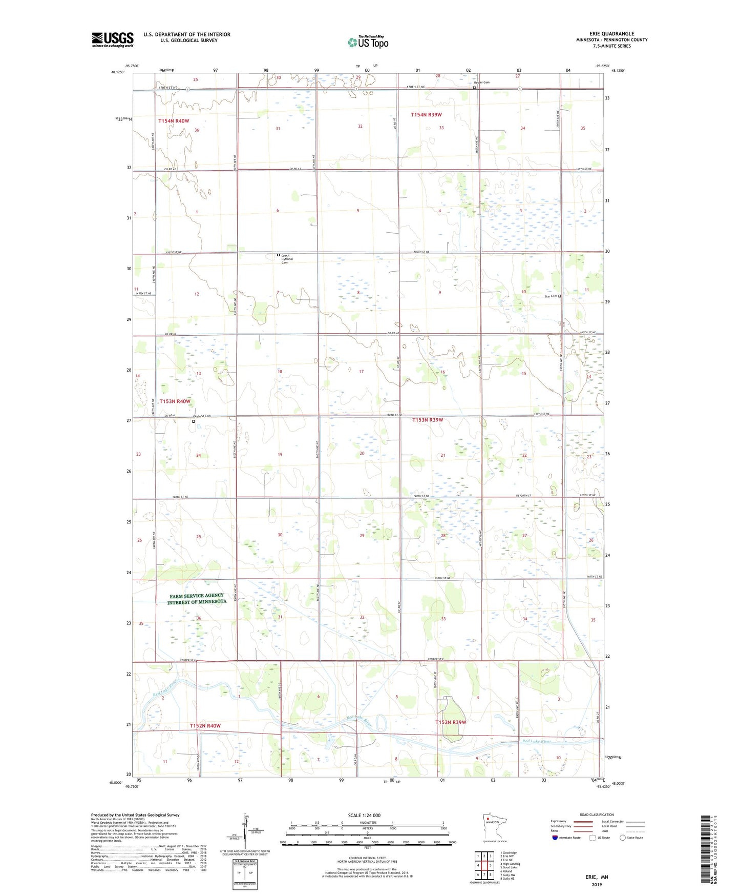
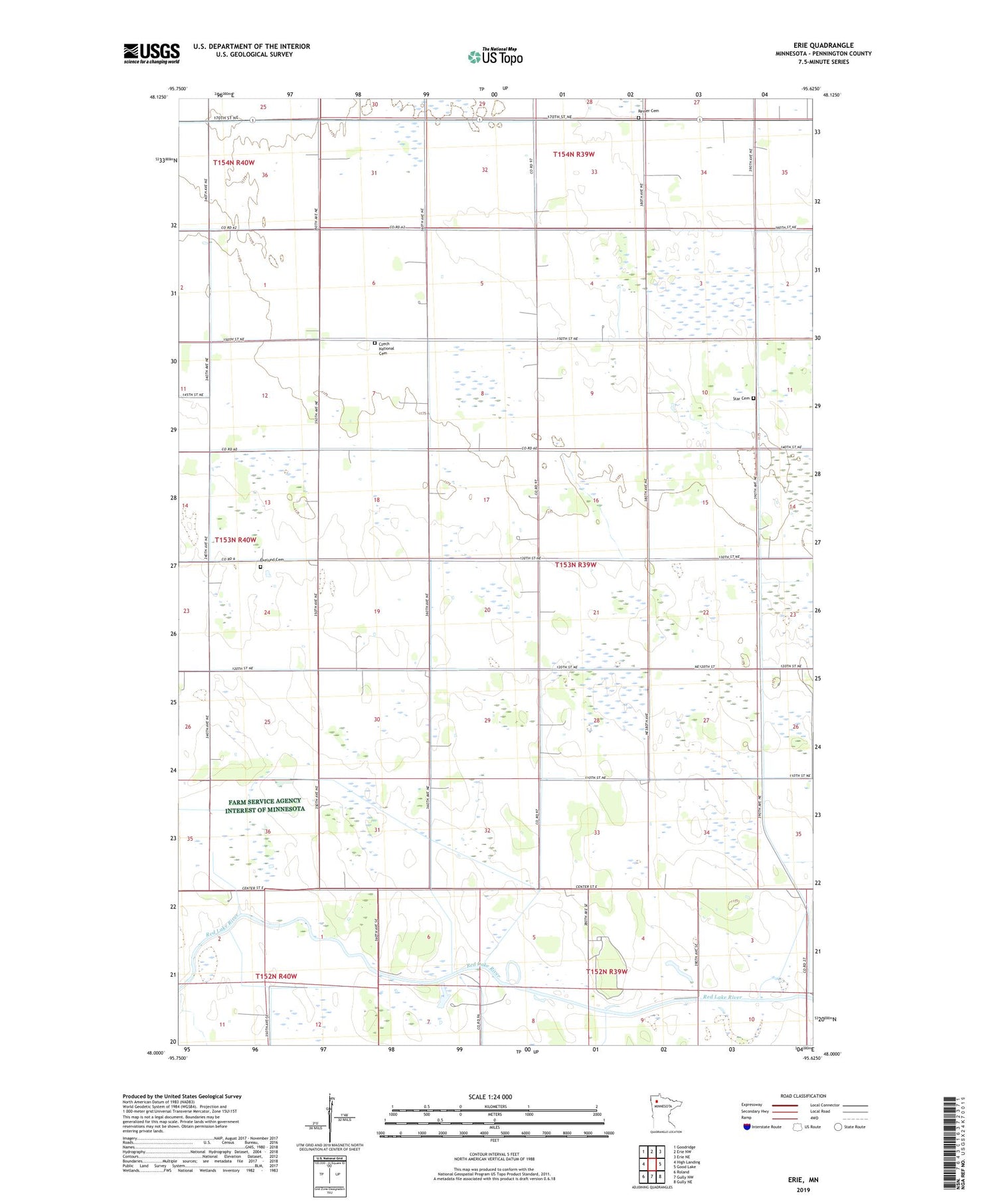
2019 topographic map quadrangle Erie in the state of Minnesota. Scale: 1:24000. Based on the newly updated USGS 7.5' US Topo map series, this map is in the following counties: Pennington. The map contains contour data, water features, and other items you are used to seeing on USGS maps, but also has updated roads and other features. This is the next generation of topographic maps. Printed on high-quality waterproof paper with UV fade-resistant inks.
Quads adjacent to this one:
West: High Landing
Northwest: Goodridge
North: Erie NW
Northeast: Erie NE
East: Good Lake
Southeast: Gully NE
South: Gully NW
Southwest: Roland
Contains the following named places: County Ditch Number Fiftyseven, County Ditch Number Fortynine, County Ditch Number Fortythree, County Ditch Number Seventyfive, County Ditch Number Thirtyeight, Czech National Cemetery, Ekelund Cemetery, Ekelund Church, Erie, Erie Post Office, Hilda Post Office, Liegaard Post Office, Reiner Cemetery, Reiner Church, Star Cemetery, Torgerson Post Office, Township of Star