MyTopo
Graceton SE Minnesota US Topo Map
Couldn't load pickup availability
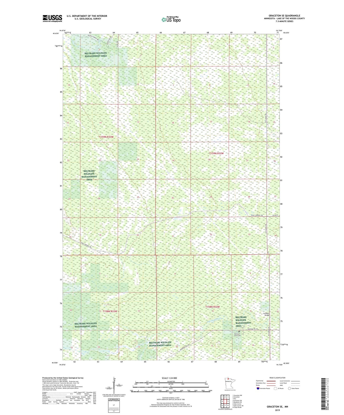
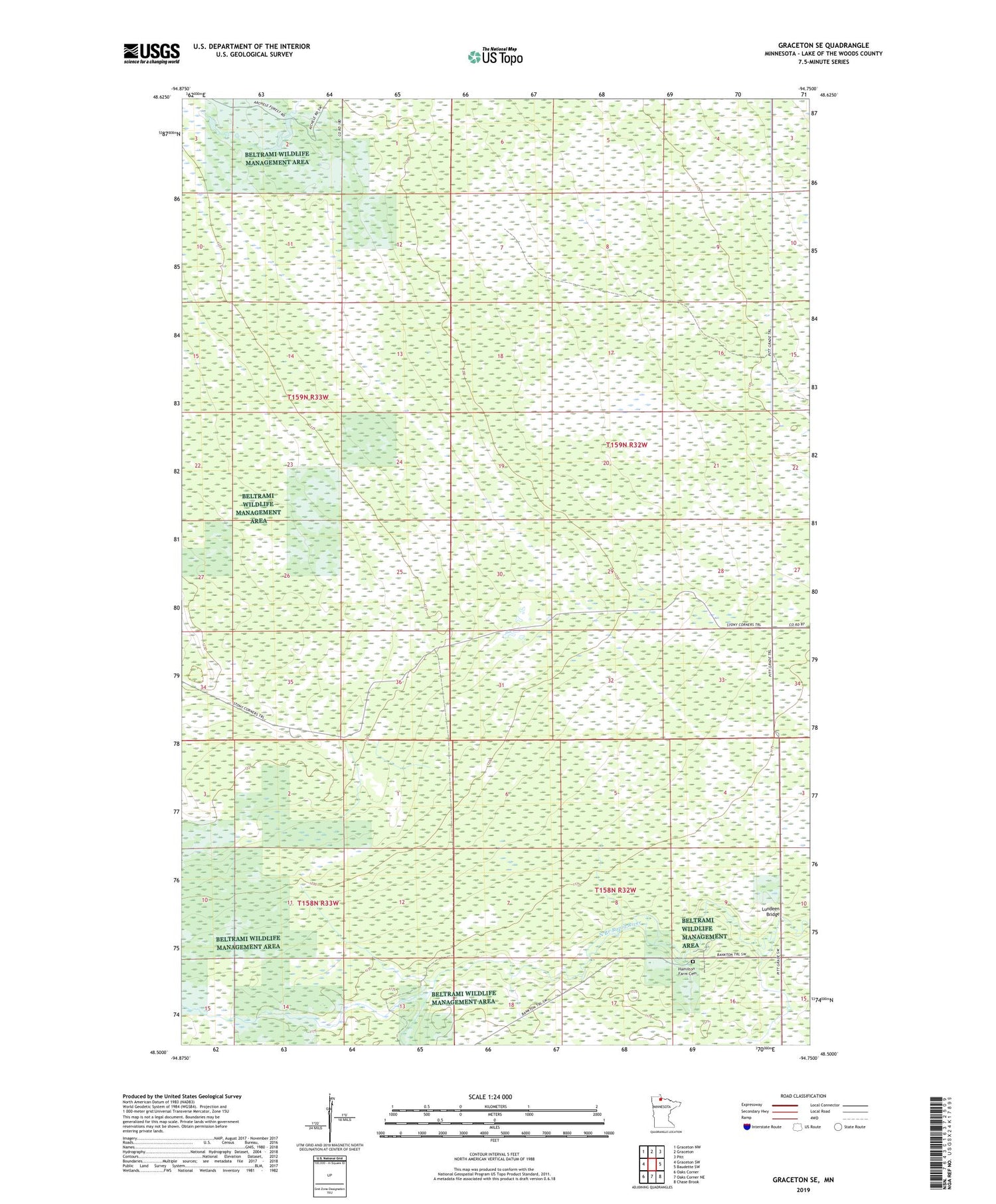
2019 topographic map quadrangle Graceton SE in the state of Minnesota. Scale: 1:24000. Based on the newly updated USGS 7.5' US Topo map series, this map is in the following counties: Lake of the Woods. The map contains contour data, water features, and other items you are used to seeing on USGS maps, but also has updated roads and other features. This is the next generation of topographic maps. Printed on high-quality waterproof paper with UV fade-resistant inks.
Quads adjacent to this one:
West: Graceton SW
Northwest: Graceton NW
North: Graceton
Northeast: Pitt
East: Baudette SW
Southeast: Chase Brook
South: Oaks Corner NE
Southwest: Oaks Corner
Contains the following named places: Hamilton Farm Cemetery, Lundeen Bridge, Stoney Corners Trail, Township of Rulien