
MyTopo
Orleans Minnesota US Topo Map
Couldn't load pickup availability
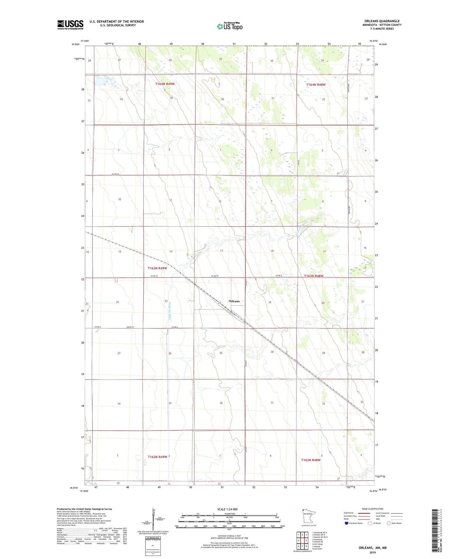
2019 topographic map quadrangle Orleans in the state of Minnesota. Scale: 1:24000. Based on the newly updated USGS 7.5' US Topo map series, this map is in the following counties: Kittson. The map contains contour data, water features, and other items you are used to seeing on USGS maps, but also has updated roads and other features. This is the next generation of topographic maps. Printed on high-quality waterproof paper with UV fade-resistant inks.
Quads adjacent to this one:
West: Humboldt
Northwest: Humboldt OE N
North: Orleans OE N
Northeast: Hallock NE OE N
East: Hallock NE
Southeast: Lancaster
South: Hallock
Southwest: Hill Siding
Contains the following named places: County Ditch Number Twentytwo, Joe River State Wildlife Area, Joe River Watershed Wildlife Impoundment Dam, Orleans, Orleans Post Office, Rose School, Township of Clow


