MyTopo
Parkers Prairie NW Minnesota US Topo Map
Couldn't load pickup availability
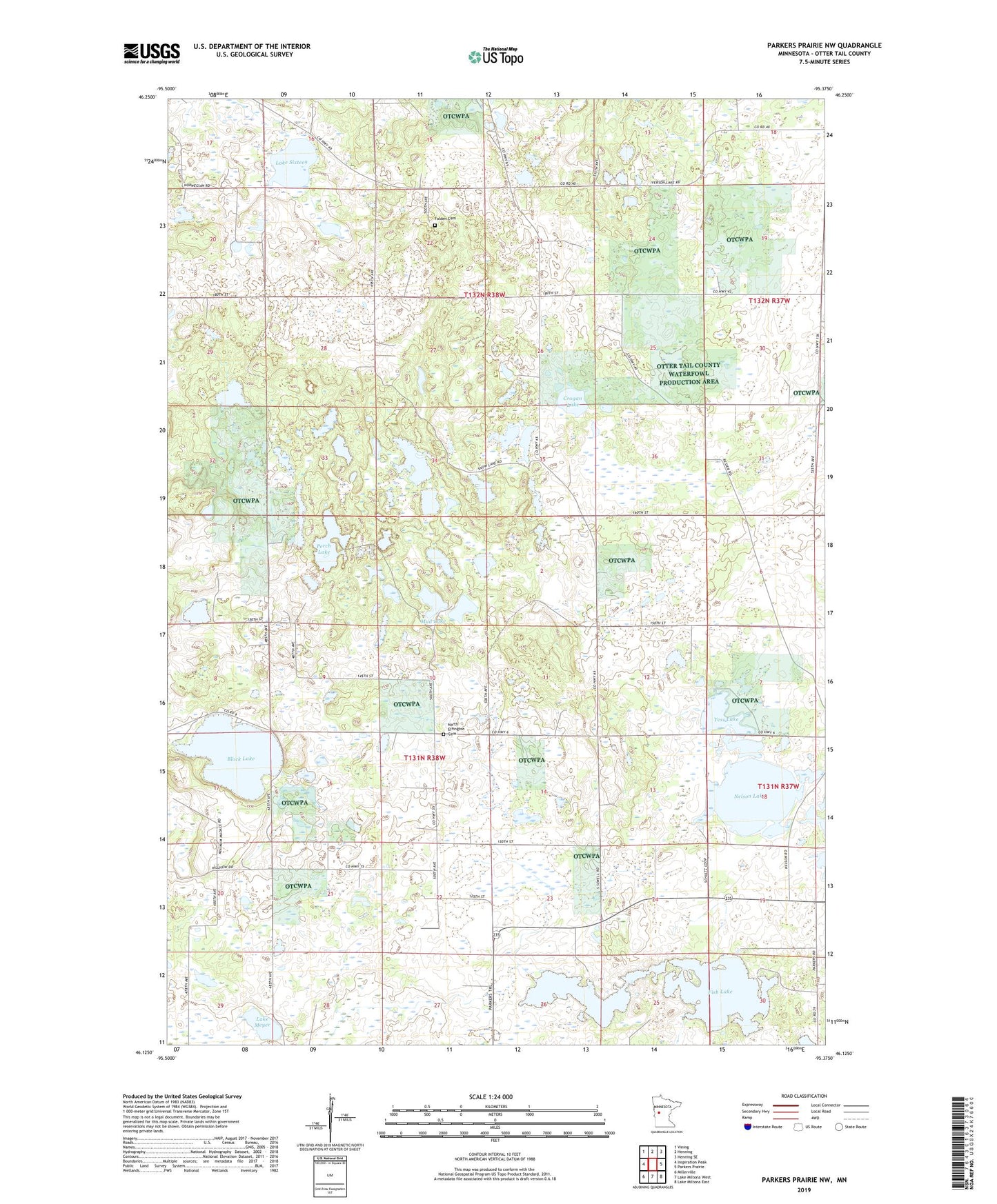
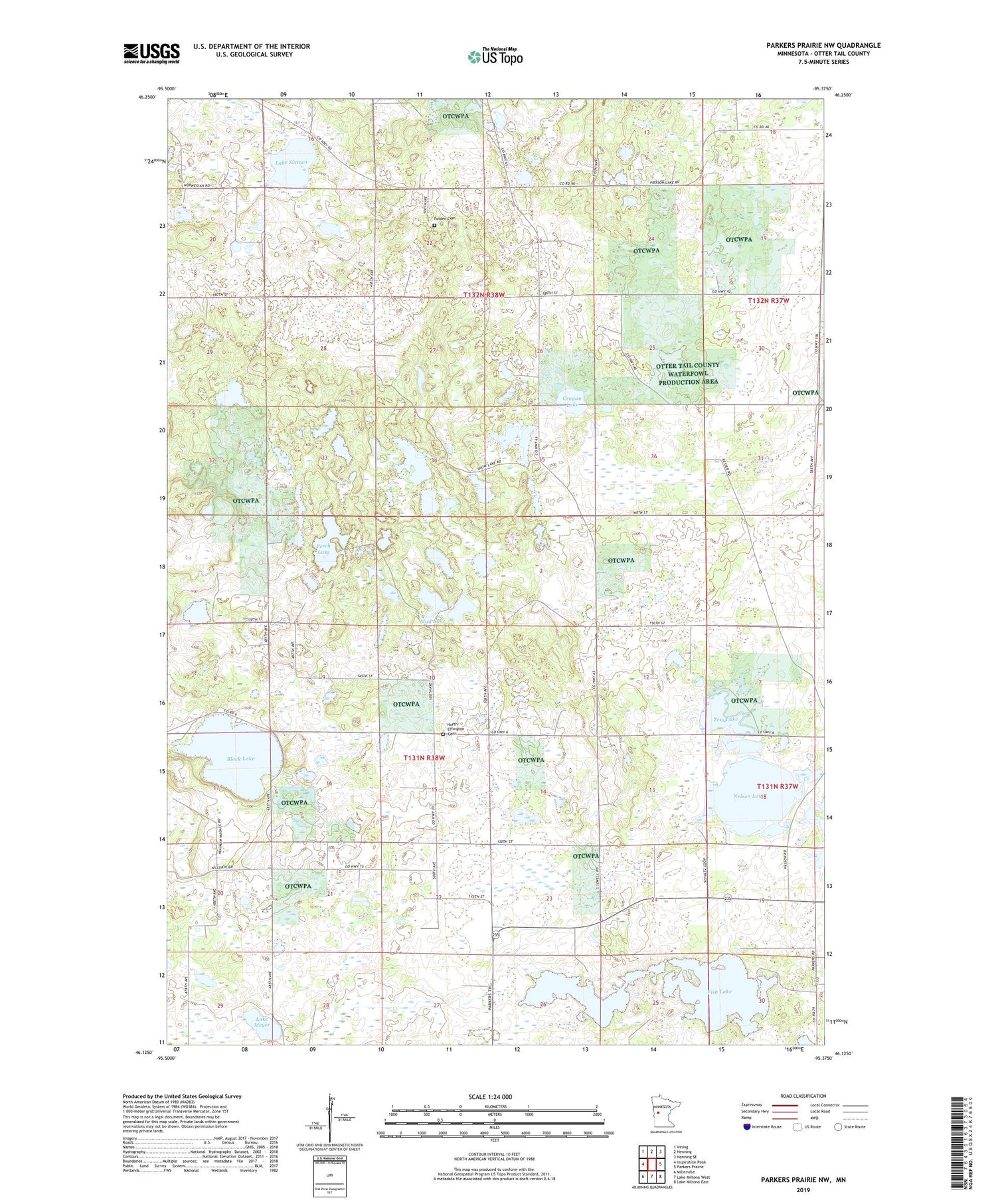
2019 topographic map quadrangle Parkers Prairie NW in the state of Minnesota. Scale: 1:24000. Based on the newly updated USGS 7.5' US Topo map series, this map is in the following counties: Otter Tail. The map contains contour data, water features, and other items you are used to seeing on USGS maps, but also has updated roads and other features. This is the next generation of topographic maps. Printed on high-quality waterproof paper with UV fade-resistant inks.
Quads adjacent to this one:
West: Inspiration Peak
Northwest: Vining
North: Henning
Northeast: Henning SE
East: Parkers Prairie
Southeast: Lake Miltona East
South: Lake Miltona West
Southwest: Millerville
Contains the following named places: Almora State Wildlife Management Area, Block Lake, Block Lake Dam, Crogan Lake, Effington Post Office, Fish Lake, Folden Cemetery, Folden Church, Folden Woods State Wildlife Management Area, Lake Meyer, Lake Sixteen, Lake Sixteen State Wildlife Management Area, Mud Lake, Nelson Lake, North Effington Church, Perch Lake, Snow Lakes, Tess Lake, Township of Effington, Township of Folden, Zion North Effington Cemetery, ZIP Code: 56588