MyTopo
Pequaywan Lake Minnesota US Topo Map
Couldn't load pickup availability
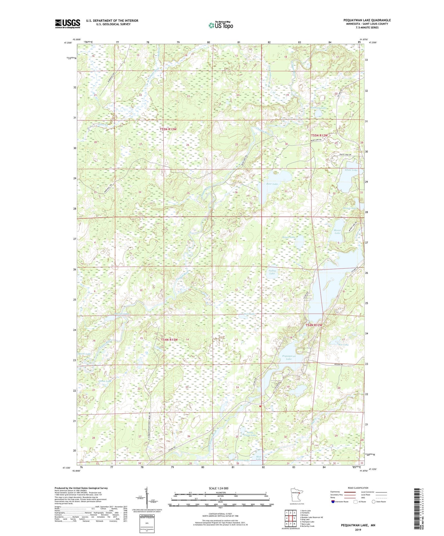
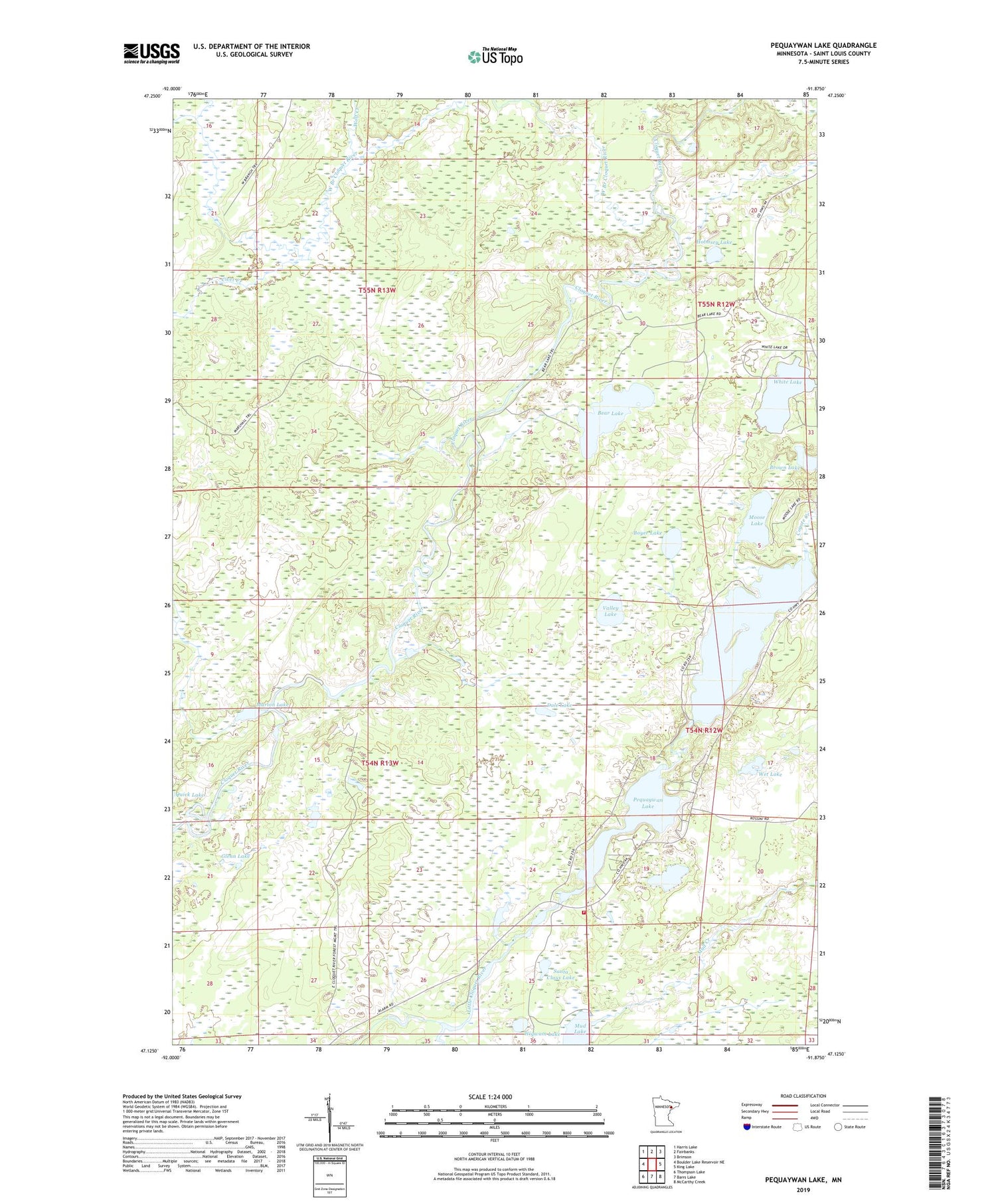
2019 topographic map quadrangle Pequaywan Lake in the state of Minnesota. Scale: 1:24000. Based on the newly updated USGS 7.5' US Topo map series, this map is in the following counties: St. Louis. The map contains contour data, water features, and other items you are used to seeing on USGS maps, but also has updated roads and other features. This is the next generation of topographic maps. Printed on high-quality waterproof paper with UV fade-resistant inks.
Quads adjacent to this one:
West: Boulder Lake Reservoir NE
Northwest: Harris Lake
North: Fairbanks
Northeast: Brimson
East: King Lake
Southeast: McCarthy Creek
South: Barrs Lake
Southwest: Thompson Lake
Contains the following named places: Bear Lake, Berry Creek, Boyer Lake, Brown Lake, Civet Creek, Coyote Creek, Dale Lake, Glenn Lake, Holmsey Lake, Lahti Creek, Marion Lake, Moose Lake, Mud Creek, Mud Lake, Pequaywan Lake, Pequaywan Lakes Volunteer Fire Department, Santa Claus Lake, Smith Dam, Smith Lake, Smith Lake Dam, Township of Ault, Unorganized Territory of Marion Lake, Valley Lake, Warren Lake, West Branch Cloquet River, Wet Lake, White Lake, Wigwam Lake, Wolf Creek