MyTopo
Roosevelt NE Minnesota US Topo Map
Couldn't load pickup availability
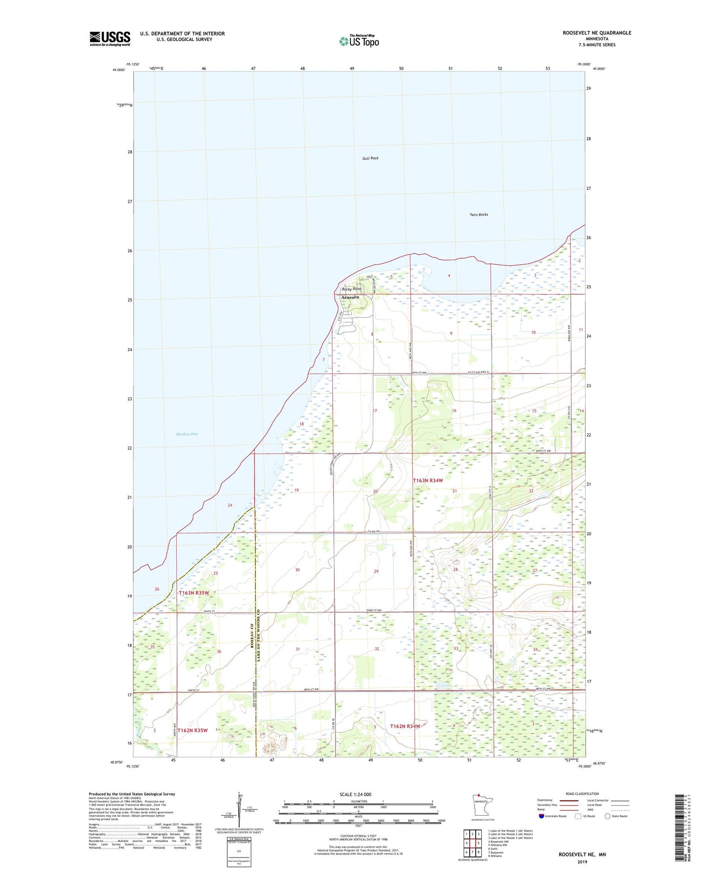
2019 topographic map quadrangle Roosevelt NE in the state of Minnesota. Scale: 1:24000. Based on the newly updated USGS 7.5' US Topo map series, this map is in the following counties: Lake of the Woods, Roseau. The map contains contour data, water features, and other items you are used to seeing on USGS maps, but also has updated roads and other features. This is the next generation of topographic maps. Printed on high-quality waterproof paper with UV fade-resistant inks.
Quads adjacent to this one:
West: Roosevelt NW
East: Williams NW
Southeast: Williams
South: Roosevelt
Southwest: Swift
Contains the following named places: Arnesen, Arneson Post Office, Gull Rock, Mount Carmel Church, Rocky Point, Township of Lakewood, Twin Rocks