MyTopo
Salol NE Minnesota US Topo Map
Couldn't load pickup availability
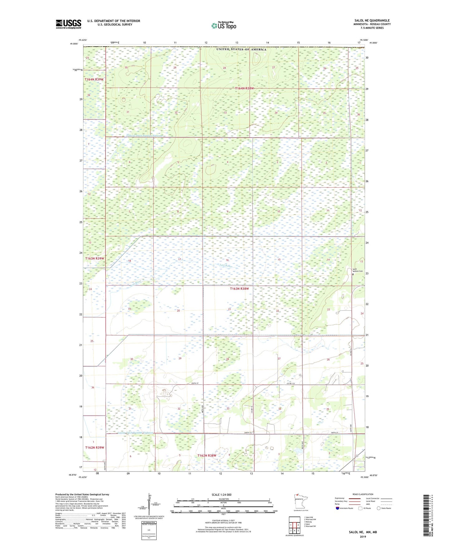
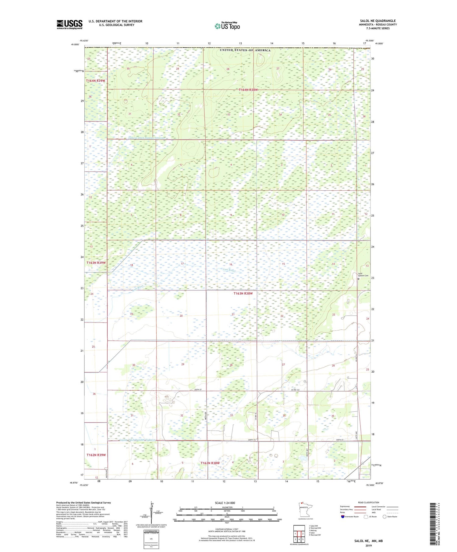
2019 topographic map quadrangle Salol NE in the state of Minnesota. Scale: 1:24000. Based on the newly updated USGS 7.5' US Topo map series, this map is in the following counties: Roseau. The map contains contour data, water features, and other items you are used to seeing on USGS maps, but also has updated roads and other features. This is the next generation of topographic maps. Printed on high-quality waterproof paper with UV fade-resistant inks.
Quads adjacent to this one:
West: Salol NW
East: Warroad NW
Southeast: Warroad SW
South: Salol
Southwest: Malung
Contains the following named places: County Ditch Number Eighteen, Judicial Ditch Number Sixtyone, Lost River, Norland Cemetery, Norland Church, ZIP Code: 56756