
MyTopo
Split Rock Point NE Minnesota US Topo Map
Couldn't load pickup availability
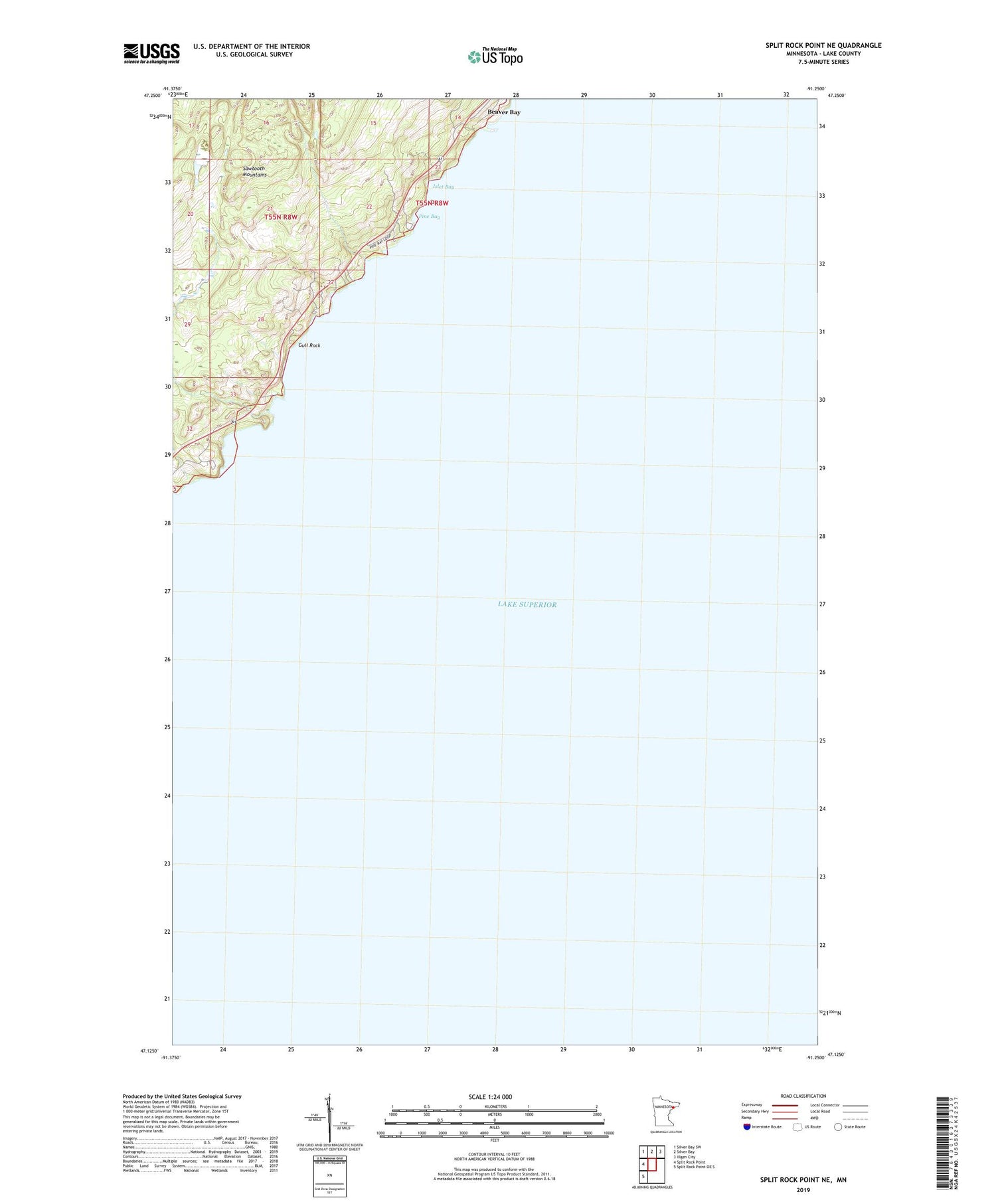
2019 topographic map quadrangle Split Rock Point NE in the state of Minnesota. Scale: 1:24000. Based on the newly updated USGS 7.5' US Topo map series, this map is in the following counties: Lake. The map contains contour data, water features, and other items you are used to seeing on USGS maps, but also has updated roads and other features. This is the next generation of topographic maps. Printed on high-quality waterproof paper with UV fade-resistant inks.
Quads adjacent to this one:
West: Split Rock Point
Northwest: Silver Bay SW
North: Silver Bay
Northeast: Illgen City
Southwest: Split Rock Point OE S
Contains the following named places: Geology of the Split Rock Canyon Region Geological Marker, Gull Rock, Islet Bay, Pine Bay, Split Rock Lighthouse, Split Rock Lighthouse Overlook, ZIP Code: 55601


