MyTopo
Villard Minnesota US Topo Map
Couldn't load pickup availability
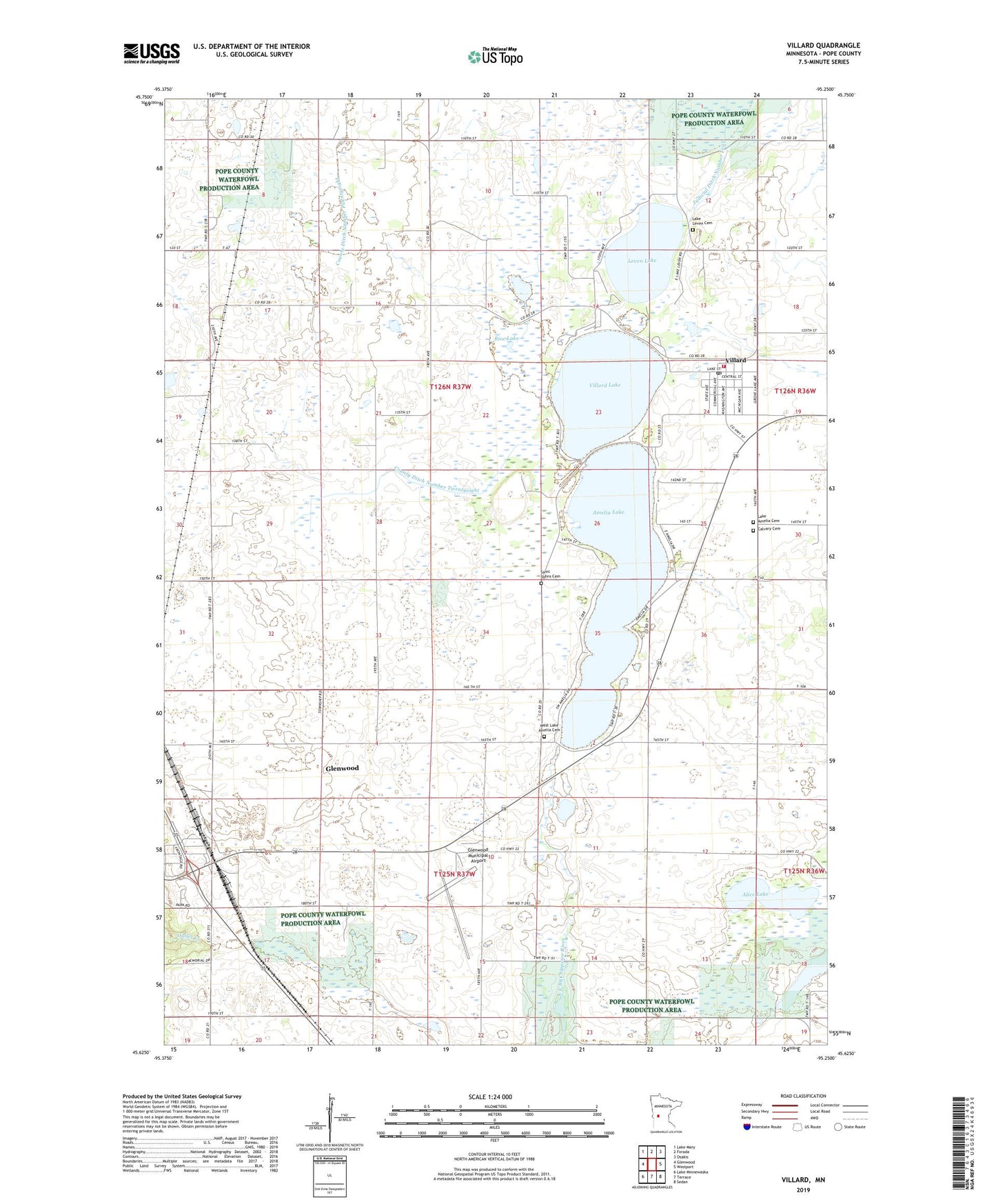
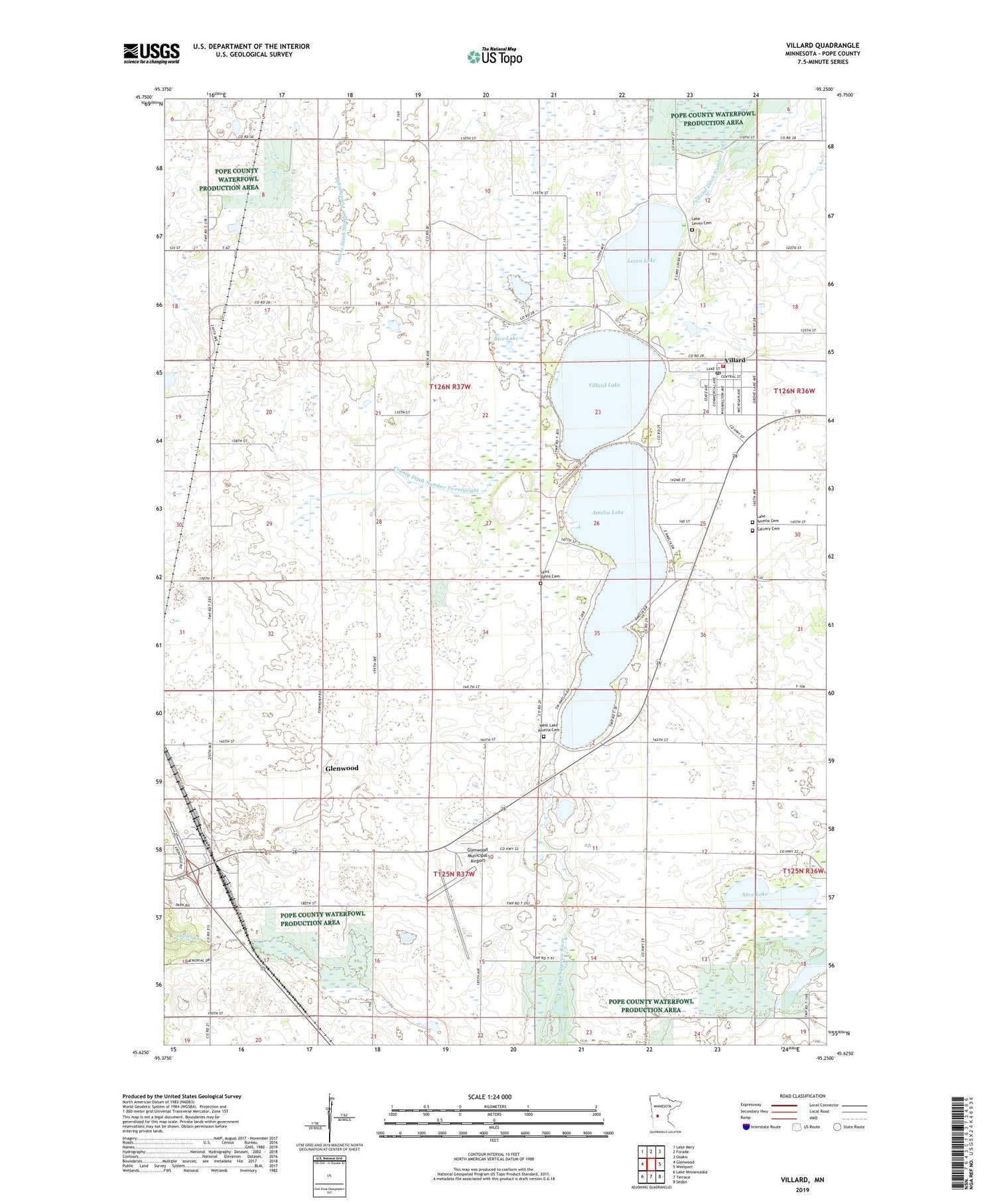
2019 topographic map quadrangle Villard in the state of Minnesota. Scale: 1:24000. Based on the newly updated USGS 7.5' US Topo map series, this map is in the following counties: Pope. The map contains contour data, water features, and other items you are used to seeing on USGS maps, but also has updated roads and other features. This is the next generation of topographic maps. Printed on high-quality waterproof paper with UV fade-resistant inks.
Quads adjacent to this one:
West: Glenwood
Northwest: Lake Mary
North: Forada
Northeast: Osakis
East: Westport
Southeast: Sedan
South: Terrace
Southwest: Lake Minnewaska
Contains the following named places: Alice Lake, Amelia Lake, Calvary Cemetery, City of Villard, County Ditch Number Twelve, County Ditch Number Twentyeight, Eckert Lake, Ellen Lake, Glenwood, Glenwood Municipal Airport, Judicial Ditch Number Four, Knapp Park, Lake Amelia Cemetery, Lake Leven Cemetery, Leven Lake, Rice Lake, Saint Bartholomew Catholic Church, Saint Johns Cemetery, Saint John's Lutheran Church, Township of Leven, Villard, Villard Elementary School, Villard Lake, Villard Post Office, Villard United Methodist Church, Villard Volunteer Fire Department, Volkmann State Wildlife Management Area, West Lake Amelia Cemetery