MyTopo
Wannaska Minnesota US Topo Map
Couldn't load pickup availability
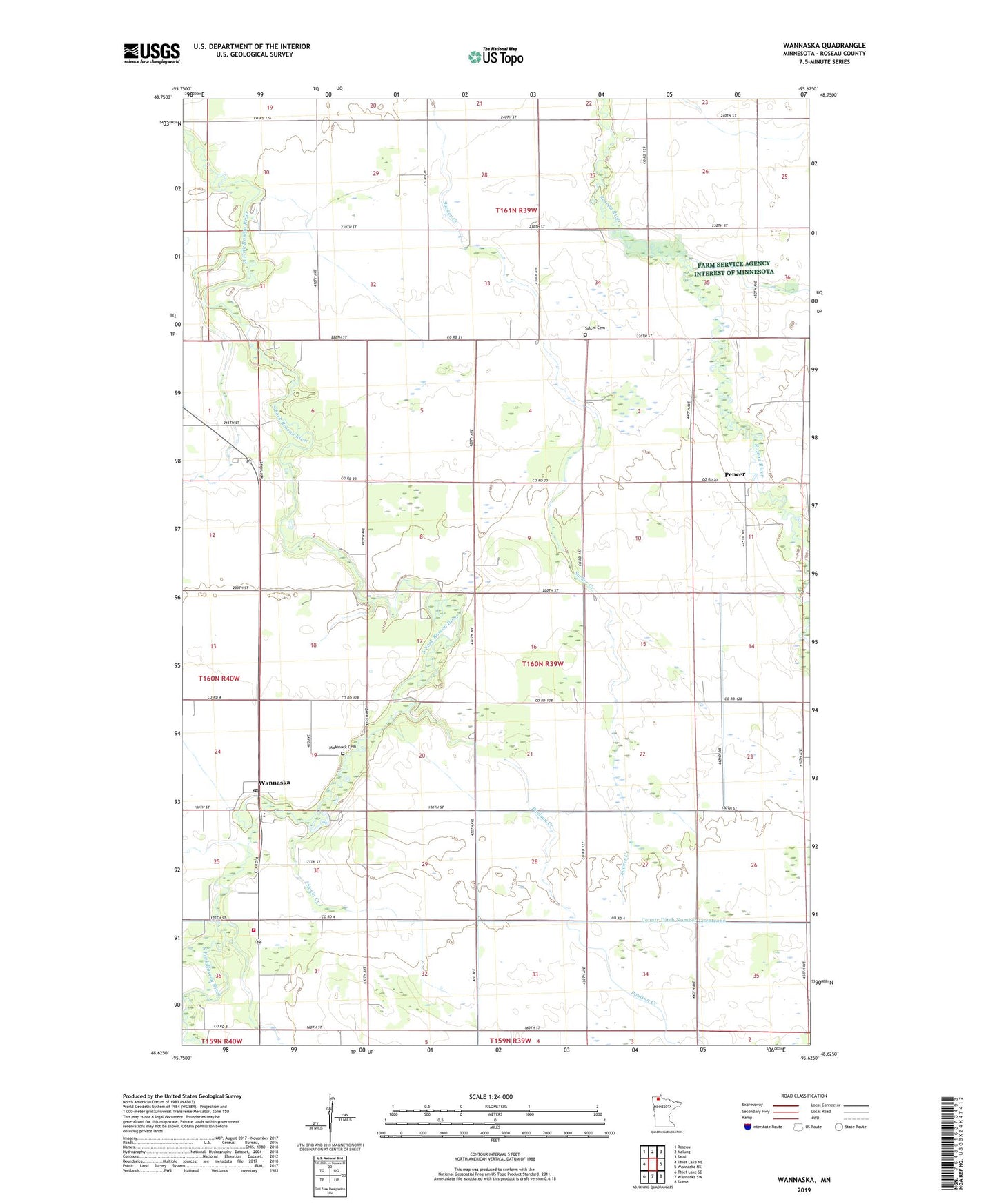
2019 topographic map quadrangle Wannaska in the state of Minnesota. Scale: 1:24000. Based on the newly updated USGS 7.5' US Topo map series, this map is in the following counties: Roseau. The map contains contour data, water features, and other items you are used to seeing on USGS maps, but also has updated roads and other features. This is the next generation of topographic maps. Printed on high-quality waterproof paper with UV fade-resistant inks.
Quads adjacent to this one:
West: Thief Lake NE
Northwest: Roseau
North: Malung
Northeast: Salol
East: Wannaska NE
Southeast: Skime
South: Wannaska SW
Southwest: Thief Lake SE
Contains the following named places: County Ditch Number Twentyone, Eddy Post Office, Mickinock Cemetery, Minnesota Department of Natural Resources Forestry Division Wannaska Field Office, Norin Creek, Paulson Creek, Pencer, Pencer Post Office, Rafferty Creek, Riverside Lutheran Church, Salem Cemetery, Salem Church, Severson Creek, Township of Mickinock, Wannaska, Wannaska Elementary School, Wannaska Post Office